
Weekend getaways
Weekend getaways from Istanbul
Lakes, forests, hot springs and ski slopes for a night or two away from Istanbul — with what to see at each, on the map.
Yalova Termal
~50 km as the crow flies8 places to seehot springs
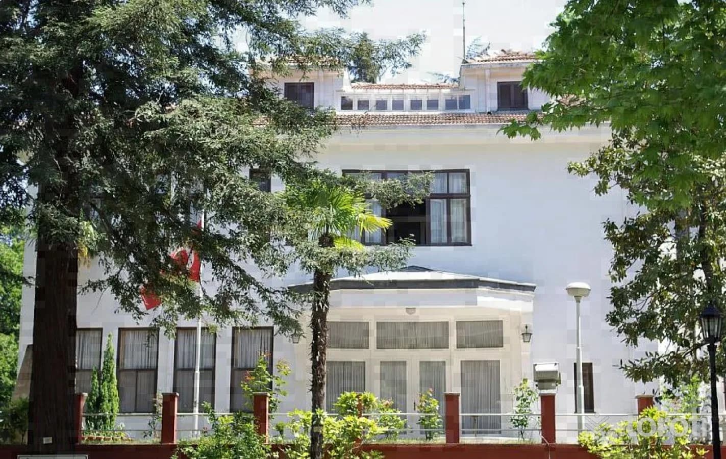
Termal Atatürk Köşkü
The Termal Atatürk Mansion is a museum of historical significance where Atatürk spent his last days.
45 minutes
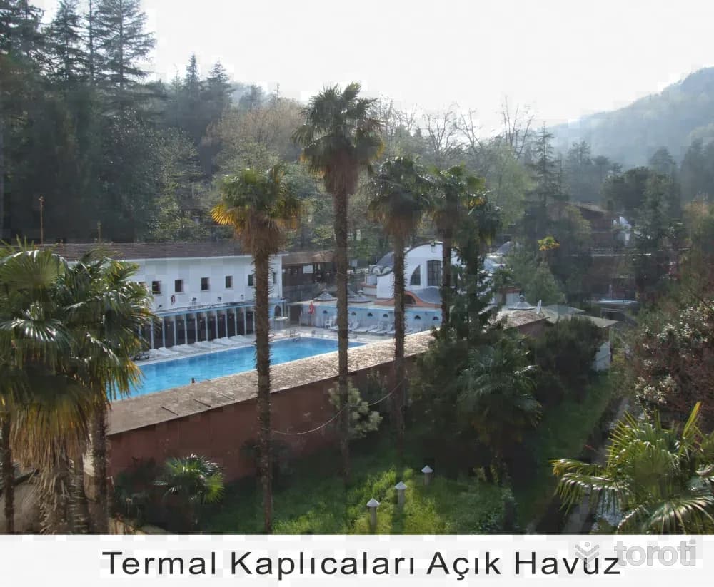
Termal Kaplıcaları
The Thermal Springs in Yalova are among Turkey's most important spa areas, renowned for their healing waters.
120 minutes
Kurşunlu Hamamı
Kursunlu Hamamı was built in the 16th century during the Byzantine Empire and has been restored during the Ottoman period to reach the present day.
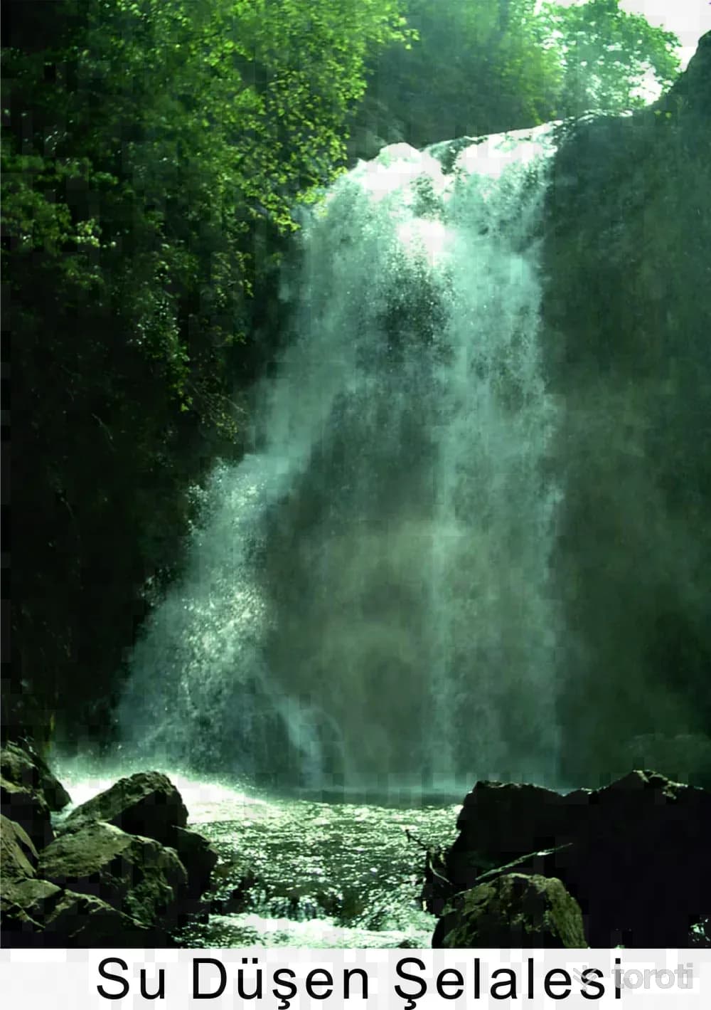
Sudüşen Şelalesi
Sudüşen Waterfall offers a magnificent area for nature enthusiasts. The walking path, dam lake, and view of the Sea of Marmara attract visitors.
120 minutes
Bursa and Uludağ
~95 km as the crow flies8 places to seehot springsskiing
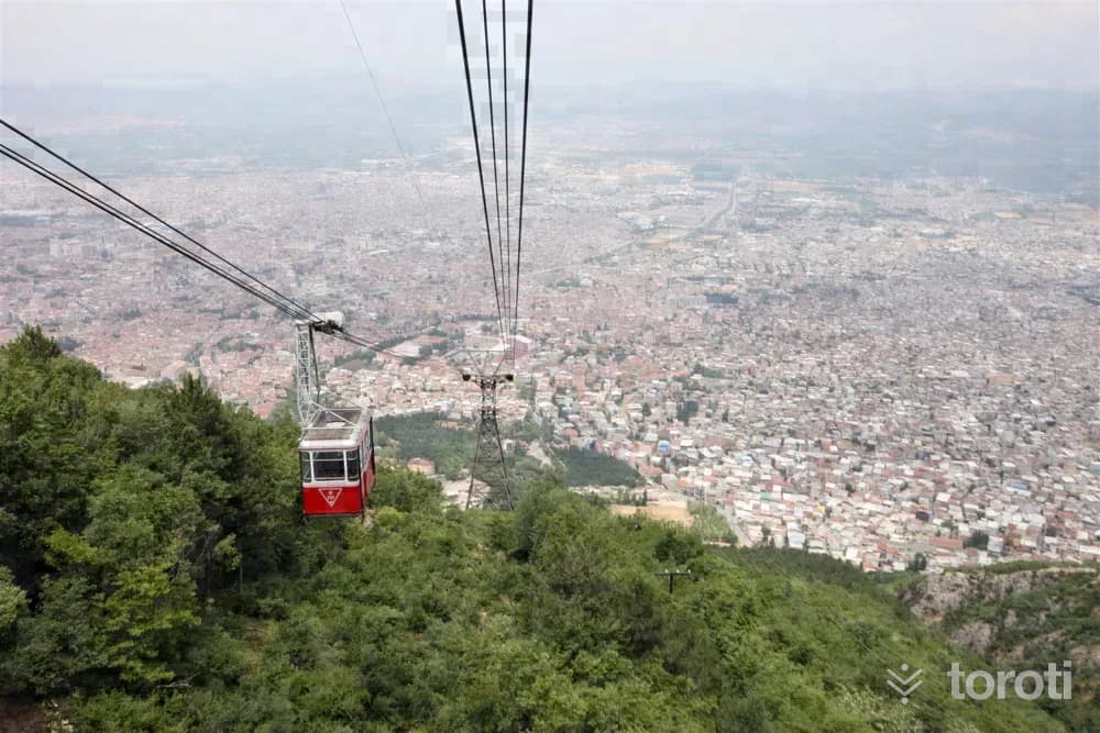
Bursa Teleferik
Bursa Teleferik, Turkey’s first cable car, operated with the same technology from the day it opened (29 October 1963) until 2012. On 7 June 2014, its technology, infrastructure and stations were completely renewed, setting out to offer a completely different journey. General Information The Tefferüç central station facility serves with its automation-guided system, spacious passenger reception hall, 240-vehicle car park, shops and cafes.
45 minutes
Molla Arap Cami
It was commissioned in the 16th century by Mevlana Mehmed, who was known by the title Molla Arap. The mosque, which has nine domes, serves as an example of the multi-domed mosques that came after bursa Ulu Cami. The mosque, which was recently restored in accordance with its original form, is open for worship. Near the mosque, there is a tomb known to belong to Molla Arap.
20 minutes
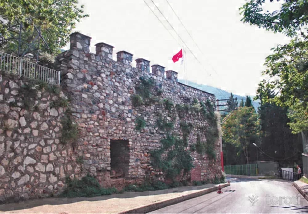
Balabancik Kalesi / Balabanbey Kalesi
Gazi Osman Bey planned to turn toward Bursa after Bilecik, İnegöl, Sakarya and Yenişehir. Since Bursa Kalesi, surrounded by steep rocks, could not be easily taken, Osman Gazi built two observation points, which we call havale towers, one on the hill to the east of the city and the other near the hot springs to the west of the city, and blockaded the city by controlling the entrances and exits.
45 minutes
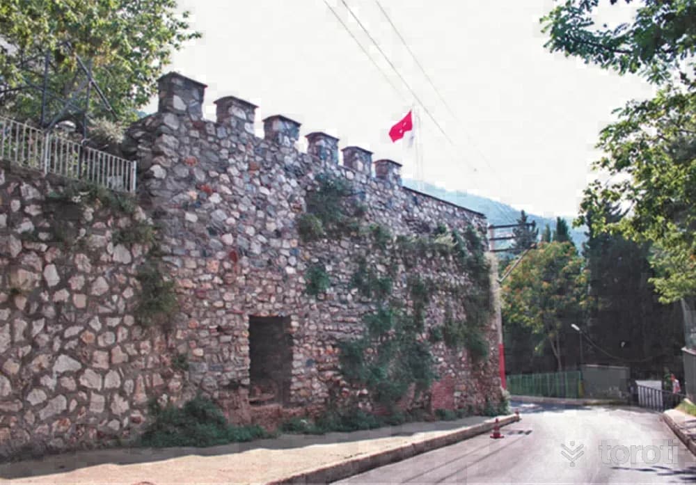
Balabancik Ve Gazi Aktimur Hisari
Gazi Osman Bey planned to turn toward Bursa after Bilecik, İnegöl, Sakarya and Yenişehir. Since the Bursa fortress, surrounded by steep rocks, could not be taken easily, Osman Gazi built two observation points, which we call havale towers, one on the hill to the east of the city and the other near the hot springs to the west of the city, and blockaded the city by controlling the entrances and exits.
45 minutes
Kartepe and Maşukiye
~105 km as the crow flies8 places to see
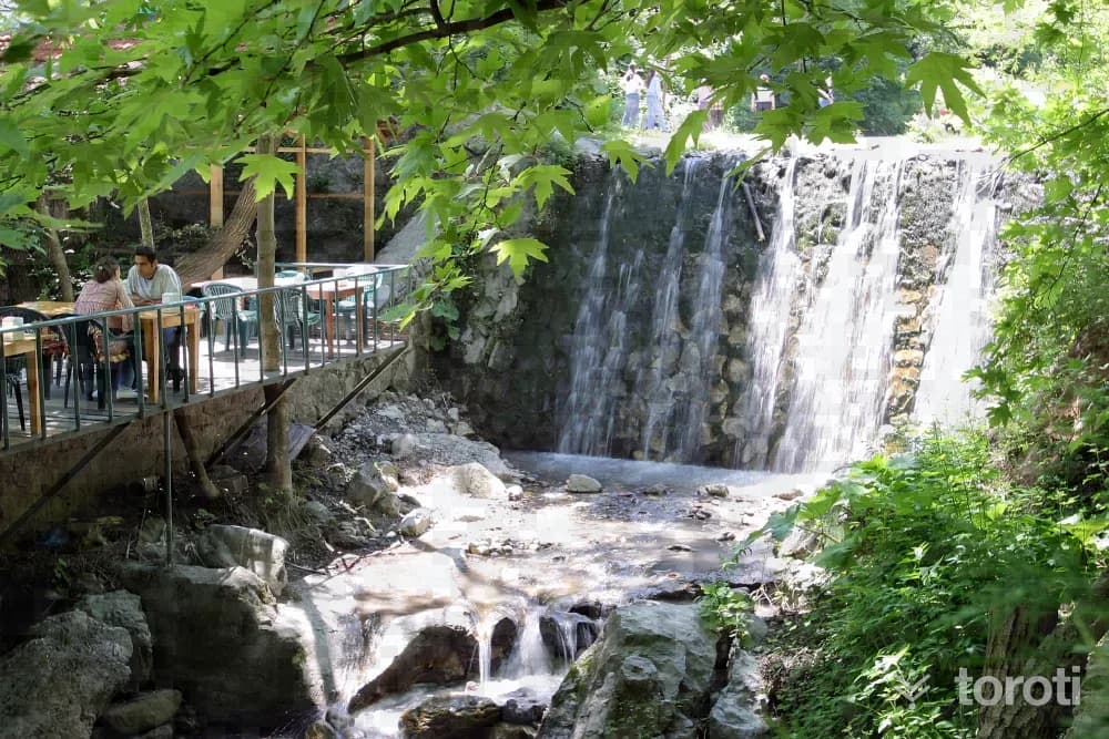
Maşukiye -kartepe
One of Kocaeli’s green paradise towns is Maşukiye. The town is 120 kilometers from İstanbul and 20 kilometers from İzmit. Reached by passing along a lush green road lined on both sides with meat-grill and trout restaurants, Maşukiye is covered with apple, walnut, and cherry trees. The name of Maşukiye comes from mâşuk, meaning lover. When the road to Kartepe is followed from Maşukiye, Alabalık Vadisi is reached.
45 minutes
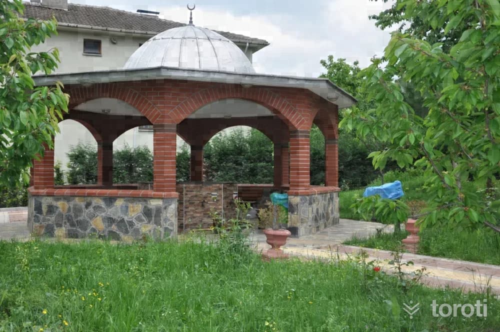
Hikmetiye Camii-derbent
The mosque, located in Derbent, one of the charming areas of Kartepe District, was built by second Abdulhamit in 1317 according to the Hijri calendar and in 1899 according to the Gregorian calendar, after the death of Habibe Hanım, who was an official working in the palace of the Ottoman sultan second Abdulhamit.
45 minutes
Haciyakup Çayiri Kartepe Zirvesi
Kartepe, the Samanlı Mountains and Kocaeli's highest point (1602 m.), it is possible to observe Bursa Uludağ and the entire Samanlı range from the Summit Point and to watch the Gulf of İzmit and Lake Sapanca from a bird's-eye view. Kartepe has become a center of attraction in terms of ski tourism in recent years. The journey, which begins after passing Kuzu Yayla located just below the summit point of Kartepe, ends within the borders of Sakarya.
45 minutes
Altıoluk Eskiyayla
The route, which starts from a place near the summit of Kartepe, ends at Eski Yayla (Öküzyatağı), located within the borders of Sakarya's Pamukova district, after Altıoluk Yaylası. Thus, we walk the Samanlı Mountains from the northern direction (İzmit Gulf) toward the southern direction (Sakarya Valley). The journey, which begins after passing Kuzu Yayla, located just below the summit point on Kartepe, ends within the borders of Sakarya.
45 minutes
Sapanca
~115 km as the crow flies8 places to see
Rüstempaşa Camii
The mosque, bearing the name of Rüstem Paşa, one of the former Ottoman viziers who served as grand vizier for fifteen years during the time of Kanuni Sultan Süleyman, was built by Mimar Sinan between 1550-1560. The külliye, consisting of a mosque, imaret, bath and caravanserai, which Mimar Sinan built in Sapanca for Grand Vizier Rüstem Paşa, is among the important works of the XVIth century that have not survived to the present day. The mosque underwent changes over time and was built for the second time in Rumi 1146.
45 minutes
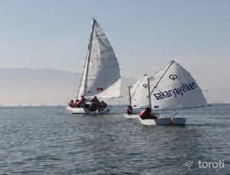
Yelken Sporu
Sailing: It is a sport practiced depending on the wind.
45 minutes
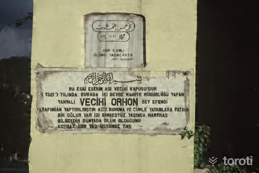
Vecihi Kapisi
Vecihi Kapısı is among the historical works remaining from Ottoman architecture. It is rumored that the historic Silk Road passed through the place where the gate, said to have been built by Mimar Sinan, is located.
45 minutes
Su Kayağı
Sapanca Gölü, a large part of which is in our province, is located here. Today, water skiing has become a popular sport in many countries where environmental conditions such as calm seas, rivers, and lakes are suitable. The Vali Yazıcıoğlu water skiing competitions, first held in 2004, continue to be organized every year at Sapanca Gölü. Athletes from many parts of Turkey participate in the championship.
45 minutes
Lake Abant
~200 km as the crow flies8 places to seehot springs
Abant Gölü
Abant Lake is a natural lake located southwest of Bolu, offering breathtaking beauty throughout the year.
60 minutes
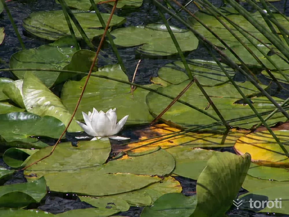
Abant Tabiat Gölü
Abant Nature Lake is a natural lake located in the southwest of Bolu. With its rich vegetation and various activities, it is an ideal destination for nature lovers.
180 minutes
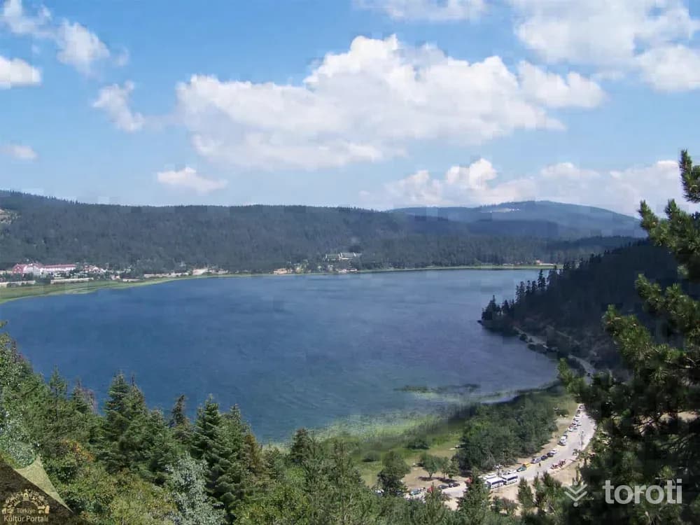
Abant Gölü Milli Parkı
Abant Lake National Park is a popular holiday destination located southwest of Bolu, known for its natural beauty. It offers different landscapes throughout the year and is ideal for activities like hiking and picnicking.
180 minutes
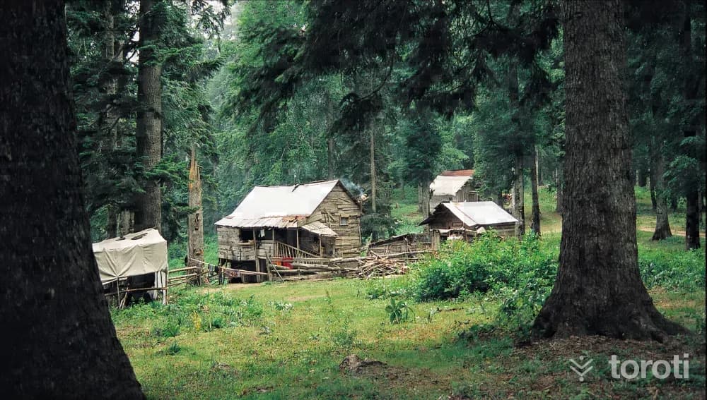
Sinekli Yaylası
Sinekli Plateau, located 33 km from Düzce, is at an altitude of 1450 m and covers an area of 100 decares. It can be reached via Beyköy, or by the route of Samandere Waterfall Natural Monument or Bolu, Abat Lake Nature Park. The group of Sinekli, Kütüklü and Sakarca Plateaus is located around Kızılkaya Hill between the borders of Bolu and Düzce, to the north of Abant Lake Nature Park, and the distance between them is 1-3 km.
45 minutes
Bolu and Lake Gölcük
~225 km as the crow flies8 places to see
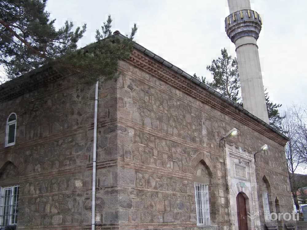
Ilica Musa Paşa Camii
According to its inscription, the mosque, located on sheet 4, parcel 368 in Karacasu Town, was commissioned in H. 916 (A.D.1510-1511) by Musa Paşa, son of Kızıl Ahmet Bey, son of İsfendiyar. Damaged in the 1944 earthquake, the mosque was rebuilt in 1960 to its original dimensions except for its monumental portal, and its old inscription was reinstalled on the mosque exactly as it was. It is a small, single-space mosque with a square plan and a dome. It was built with alternating rubble stone and brick. Only the main entrance portal was made of cut stone.
45 minutes
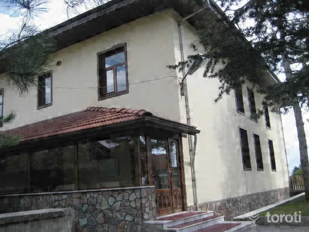
Aktaş Cami
The mosque, with a rectangular plan and a flat wooden ceiling, has an enclosed last congregation area. There is a women's gallery with wooden railings and latticework. To the right of the entrance is the muezzin's gallery. It has a muqarnas mihrab and a wooden minbar. In the mosque, rectangular windows with wooden jambs were used. There is a tomb adjoining the left facade of the mosque and a fountain to its north. It is covered externally with a hipped roof. It has wide wooden eaves.
20 minutes
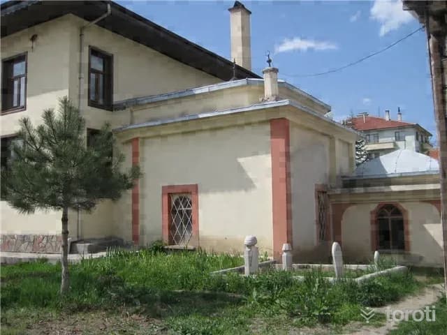
Aktaş Türbesi
It is located in Semerkant Neighborhood of Bolu central district. It is adjacent to the left side facade of the mosque, has a square plan, and additions covered with vaults were made in front of it and on its right side. There are 3 bronze finials on its roof. Inside the tomb, there are 5 sarcophagi.
45 minutes
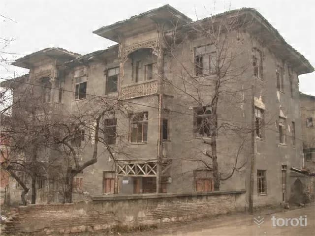
Gülezler Konağı
The mansion, located in Karaçayır Mahallesi, Kurtuluş Sokak, on sheet 17, block 236, parcel 1, at the corner where two streets intersect, has a ground floor + 2 upper floors. Its restitution was carried out in 2009. It is the largest mansion in Bolu. It is located within a garden. On the entrance facade, there are two double-leaf wooden doors on the ground floor. Starting from the 1st floor, there are projections aligned with the doors and supported by wooden posts, and above these projections, on the 2nd floor, there are balconies with wooden railings.
45 minutes
Gerede: Esentepe and Mount Arkut
~270 km as the crow flies6 places to seeskiing
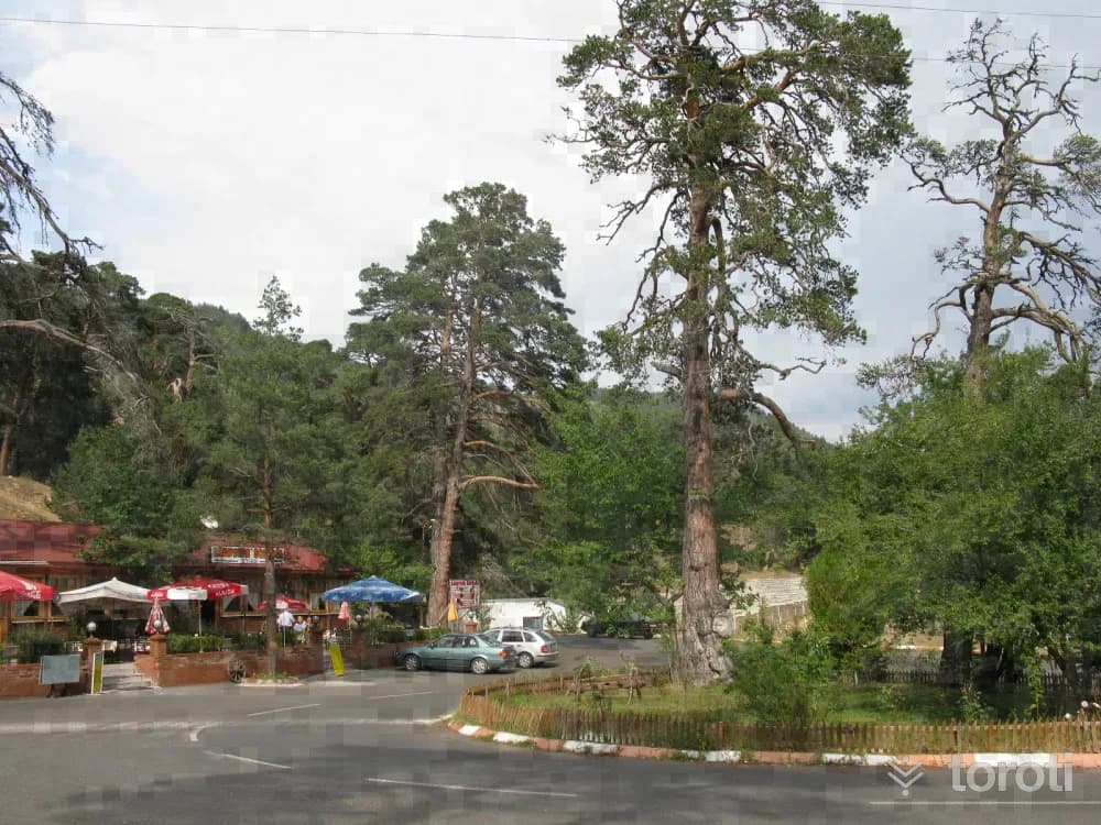
Gerede Esentepe Mesire Alanı
Esentepe Recreation Area is located north of Gerede at an altitude of 1,300 meters, noted for its panoramic district views and centuries-old pine trees. In winter, the area offers opportunities for winter sports, skiing, and cross-country skiing nearby.
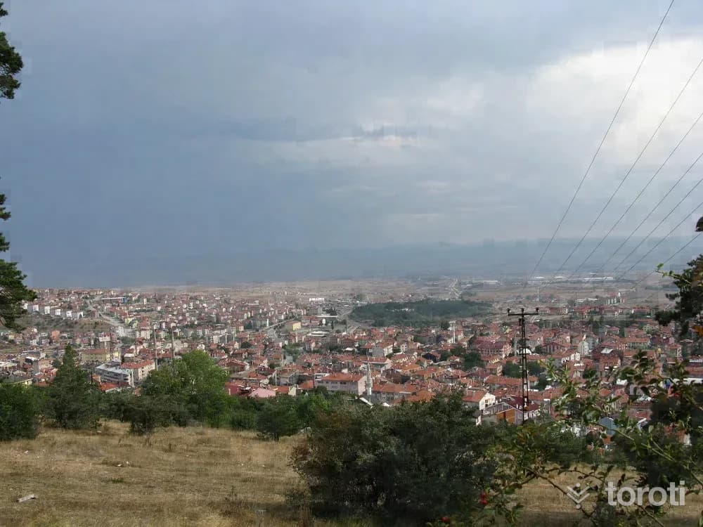
Gerede
Yukarı Tekke Mosque: The mosque located in Gerede District was built by Abdullah Efendi in 1844, according to its inscription. A mausoleum of cut stone is located at the eastern corner of the rectangular-planned mosque built of adobe. Yukarı Tekke Tomb: It is next to the mosque known by the same name in Gerede district. It was built in 1900. Hacı Halil Efendi Tomb: It was built in 1843 in Gerede Seviller Neighborhood with an octagonal plan and a dome. Inside the tomb, II.
45 minutes
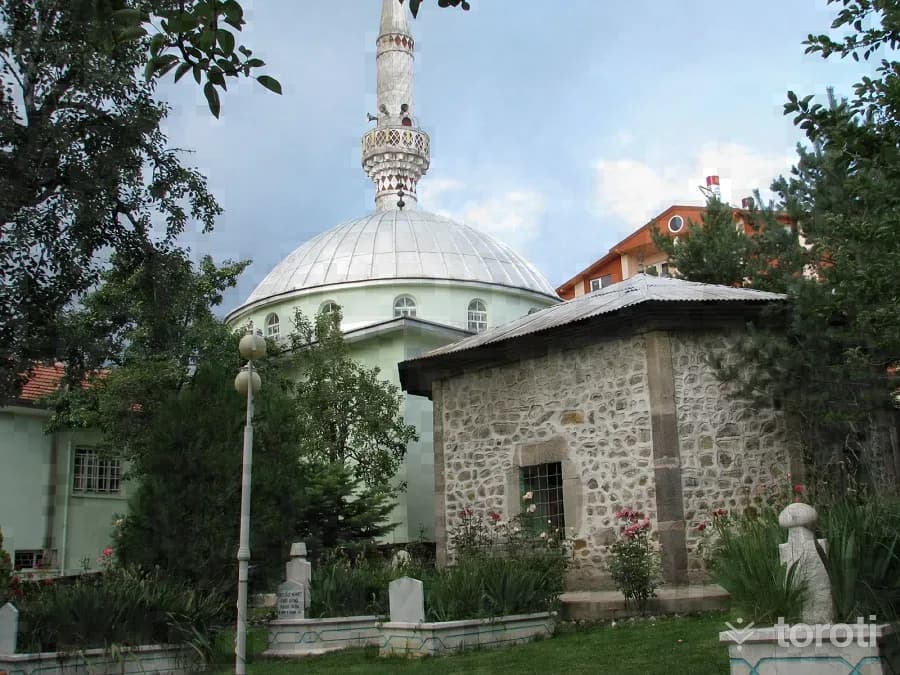
Gerede Aşağı Tekke Camii Ve Türbesi
In Bolu Province, in Gerede District, in Seviller Neighborhood, Aşağı Tekke Camii and its Tomb and a small graveyard are located within the mosque courtyard. The exact construction date of Aşağı Tekke Camii is not known. The mosque, which was completely destroyed in the 1944 earthquake, was rebuilt with local means and opened for worship in 1957. The rectangular-planned mosque is covered with a dome. The railings of the women's gallery on its north side feature wood craftsmanship.
45 minutes
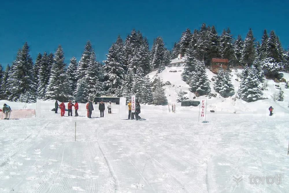
Gerede Arkut Dağı Kayak Merkezi
Arkut Mountain Ski Center is located 4 km north of Gerede at an altitude of 1,800 meters and offers slopes suitable especially for beginners, cross-country skiing, and alpine skiing. In winter it is used for skiing from January to March, while in summer the area supports camping, trekking, mountain biking, and off-road activities.
Safranbolu
~310 km as the crow flies8 places to see
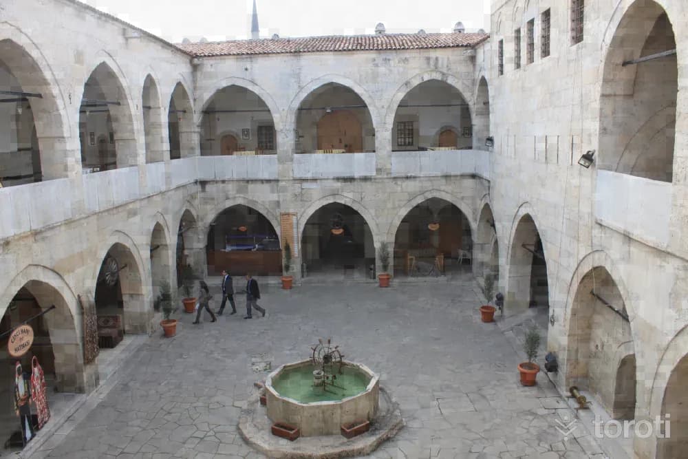
Cinci Hanı
One of the hundreds of large and small caravanserais established on the historic Silk Road stretching from China to the lands of Anatolia over the centuries is Cinci Han in Safranbolu. Cinci Han was built in 1645 by Karabaşzade Hüseyin Efendi of Safranbolu (Cinci Hoca). Although its architect is not known for certain, it is thought to have been built by Koca Mimar Kazım Ağa.
45 minutes
Ulu Cami (St. Stephanos Kilisesi)
Located in Kıranköy Semti, which in the past was a Greek Quarter of Safranbolu, Aziz Stefan Kilisesi was converted into a mosque after the Greeks went to Greece in the 1920s and opened for Muslim worship under the name Ulucami.
30 minutes
Mümtazlar Konağı
Mümtazlar Konağı is a beautiful example of traditional Ottoman-Turkish architecture, built in 1888.
30 minutes
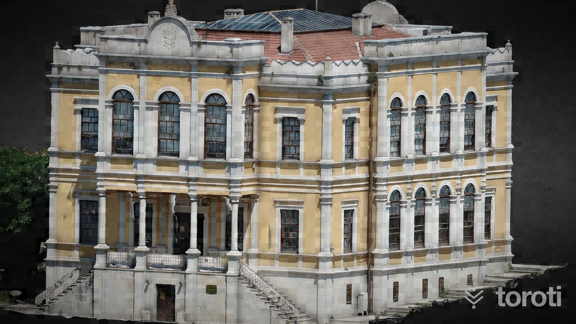
Safranbolu Kent Tarih Müzesi
The Safranbolu City History Museum is an important museum showcasing the daily life of Safranbolu in a historic building.
45 minutes
From other cities
More winter themes