
Places to visit
Things to do in Sapanca
16 destinations, each with a description, how long it takes and where it sits on the map.
In short
toroti’s catalogue holds 16 described destinations within Sapanca, Sakarya. The themes that come up most: Nature, Local culture, Faith heritage.
Altıoluk Eskiyayla
The route, which starts from a place near the summit of Kartepe, ends at Eski Yayla (Öküzyatağı), located within the borders of Sakarya's Pamukova district, after Altıoluk Yaylası. Thus, we walk the Samanlı Mountains from the northern direction (İzmit Gulf) toward the southern direction (Sakarya Valley). The journey, which begins after passing Kuzu Yayla, located just below the summit point on Kartepe, ends within the borders of Sakarya.
45 minutes
Haciyakup Çayiri Kartepe Zirvesi
Kartepe, the Samanlı Mountains and Kocaeli's highest point (1602 m.), it is possible to observe Bursa Uludağ and the entire Samanlı range from the Summit Point and to watch the Gulf of İzmit and Lake Sapanca from a bird's-eye view. Kartepe has become a center of attraction in terms of ski tourism in recent years. The journey, which begins after passing Kuzu Yayla located just below the summit point of Kartepe, ends within the borders of Sakarya.
45 minutes
Su Kayağı
Sapanca Gölü, a large part of which is in our province, is located here. Today, water skiing has become a popular sport in many countries where environmental conditions such as calm seas, rivers, and lakes are suitable. The Vali Yazıcıoğlu water skiing competitions, first held in 2004, continue to be organized every year at Sapanca Gölü. Athletes from many parts of Turkey participate in the championship.
45 minutes
Sapanca-erdemli-kadipinar
Sapanca "Erdemli-Kadıpınar" Length: 7 km Difficulty Level: 1/5 Features: The starting point of the route is the road to Sapanca Soğucak plateau. Along the route there are linden, chestnut and pine trees. Facilities: At the start of the route there is drinking water, trout farms and restaurants.
45 minutes
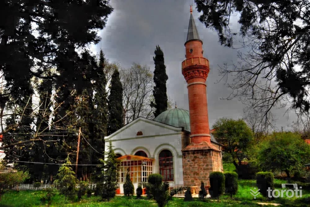
Rahime Sultan Camii
Located in Uzunkum, Sapanca, immediately behind Uzunkum Village Primary School, it was commissioned in 1892 by Peruste Rahime Sultan, the fourth wife of Abdülmecit. The building, constructed in rubble stone and brick masonry style, has arched windows on its front facade. Its minaret, which was damaged in the 17 August earthquake, collapsed and was later rebuilt. Rahime Sultan Camii has a dome, and its interior is decorated with carvings; today, it is one of the few mosques that has preserved its original structure.
45 minutes
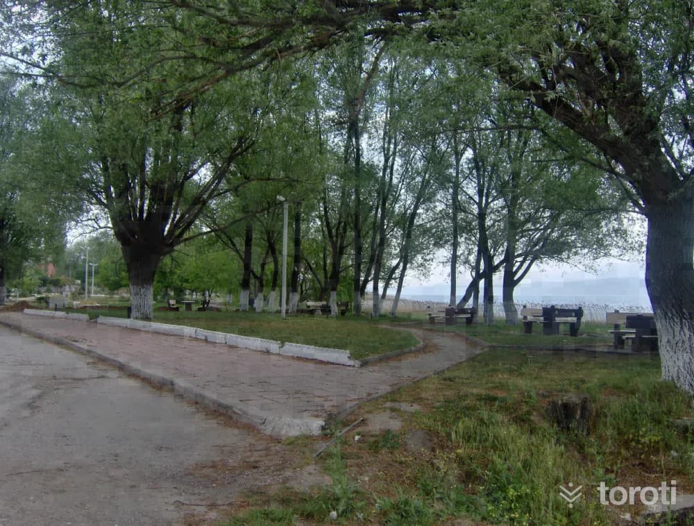
Sapanca Gölü
It is a freshwater lake located in the eastern part of the Marmara Region, in the eastern half of a long depression connecting the Adapazarı Plain with the İzmit Gulf Trough. The shores of Sapanca lie in Sakarya province in the east and in Kocaeli at the western end. Its basin is 252 square kilometers. Its surface area is 47 square kilometers. Its east-west length is 17 kilometers. Its north-south width is 5 kilometers. Its elevation above sea level is 31 meters. Its deepest point is 61 meters. The lake takes its name from the district established on its southern shore.
45 minutes
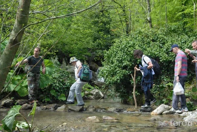
Sapanca-soğucak Şelalesi
It is possible to hike at Soğucak Waterfall at any time of the year. Throughout the hike, the path passes through a forest of chestnut, beech and linden trees. On hikes taken in June, the scent of linden accompanies you. Red-spotted trout grow naturally in İstanbul Stream. As you get closer to the waterfall, hornbeam and pine trees appear before you.
45 minutes
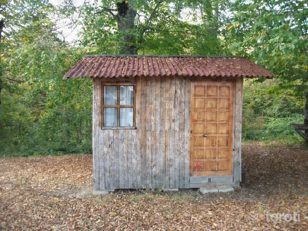
Soğucak Yaylası
Soğucak Plateau, which has an area of about 900 dönüm, is at an altitude of 1.100 meters and is 17 kilometers from Sapanca. From the direction of Sapanca-Muradiye Village, it is possible to reach the plateau with a journey of about 35 minutes by following the road that branches off to the right before arriving at Erdemli Village. Its busiest period is during the plateau festivities, which coincide with the second week of July.
45 minutes
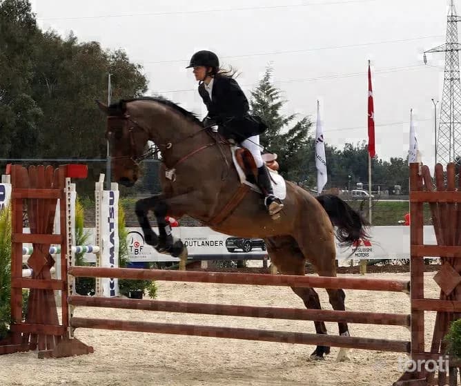
Sapanca Kirkpinar Beldesi At Biniciliği Ve Yarişlari
It is the Horse Racing Track located in Kırkpınar Town of Sapanca District in our province. It is a competition area prepared in advance according to the breed of the horses and the distance they will run. Equestrianism, which is one of the ancestral sports, consists of organizations held together with competitors invited from surrounding provinces in order to observe and evaluate the latest condition of the horses bred by horse breeders in the region.
45 minutes
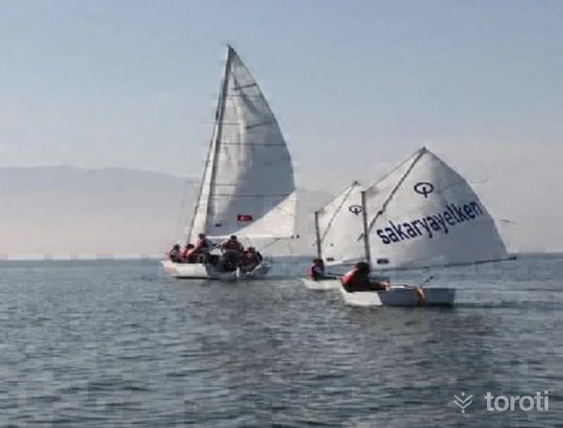
Yelken Sporu
Sailing: It is a sport practiced depending on the wind.
45 minutes
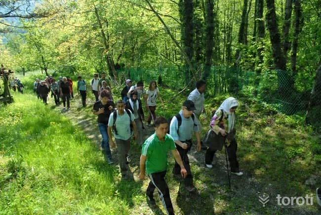
Soğucak Şelalesi
Throughout your walk at Sapanca Soğucak Waterfall, you pass along the path through the forest consisting of chestnut, beech and linden trees. On walks taken in June, the scent of linden accompanies you.
45 minutes
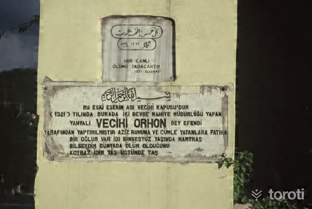
Vecihi Kapisi
Vecihi Kapısı is among the historical works remaining from Ottoman architecture. It is rumored that the historic Silk Road passed through the place where the gate, said to have been built by Mimar Sinan, is located.
45 minutes
Sapanca Yanik Dere Doğa Yürüyüşü
Sapanca Yanık Dere Nature Walk Length: 5 km Difficulty Level: 2/5 Features: Yanık Deresi, which joins Karaçam Deresi at the beginning of the route and Abaşın Deresi at the end, flows into Sapanca Lake. Hornbeam and chestnut trees are dense along the route we walk. It is a very colorful walking trail. As the path advancing into the forest descends past the water reservoirs to the point where it joins the stream bed, Güdük Tepe appears to the southwest.
45 minutes
Rüstempaşa Camii
The mosque, bearing the name of Rüstem Paşa, one of the former Ottoman viziers who served as grand vizier for fifteen years during the time of Kanuni Sultan Süleyman, was built by Mimar Sinan between 1550-1560. The külliye, consisting of a mosque, imaret, bath and caravanserai, which Mimar Sinan built in Sapanca for Grand Vizier Rüstem Paşa, is among the important works of the XVIth century that have not survived to the present day. The mosque underwent changes over time and was built for the second time in Rumi 1146.
45 minutes
Sapanca-nailiye-balkaya
Sapanca "Nailiye-Balkaya" Length: 5 km. Difficulty Level: 1. Features: The route starts by continuing from the Balkaya entrance and turning right beside the 3rd mass housing villas. Karanlık stream passes through the middle of the route. The route continues uphill for 1,7 km and descends by first joining the Balkaya road to the west and then to the northwest. There are hornbeam, chestnut, linden and pine trees along the route.
45 minutes
Sapanca, Akçay, Fevziye, Küçük Ve Büyük Yayla Yürüyüş Parkuru
Sapanca, Akçay, Fevziye, Küçük and Büyük Yayla Hiking Trail Length: 7.5 km Difficulty Level: 3/5 Features: Along the hiking trail, you encounter branches of the Sakarya Nehri and the magnificent view of Sapanca Gölü. The İl Ormanı, located between the borders of Sapanca and Arifiye District and providing unlimited oxygen with its proximity to the center, is also visible. There are linden trees in the forest.
45 minutes