
Stops along the way
Stops between İzmir and Denizli
269 km, roughly 3 hours of driving. The stops below are ordered as you pass them — the same road in both directions.
In short
The drive between İzmir and Denizli is 269 km and takes roughly 3 hours. There are 332 described places within 20 km of this route; it crosses 4 provinces, and the densest stretch is in İzmir (80 places).
There are 332 places within 20 km of this corridor; the 48 below are spread evenly along the drive.
- No image
1
Nif Dağı Antik Kazı Alanı
Kemalpaşa, İzmir
The Nif Mountain Archaeological Site, known as Olympos in ancient times, hosts remnants of various cultures.
2
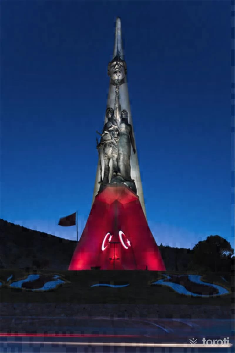
Kuvayı Milliye Anıtı
Yunusemre, Manisa
The Kuvayı Milliye Monument is a composition that elevates Atatürk's revolutions and progressive thoughts alongside the people.
- No image
3
Çeşnigir Camii
Şehzadeler, Manisa
Çeşnigir Mosque, built in 1474 by Çeşnigir Sinan Bey, who was freed by II. Mehmed, is one of the oldest mosques in the city.
- No image
4
Muradiye Camii ve Külliyesi
Şehzadeler, Manisa
The Muradiye Mosque and Complex was built between 1583-1592 on behalf of Sultan Murad III and is based on a design by Mimar Sinan.
- No image
5
Hisar Camii
Konak, İzmir
Hisar Mosque is the largest and most impressive mosque in Izmir, built in 1592. It features typical characteristics of classical Ottoman architecture.
6
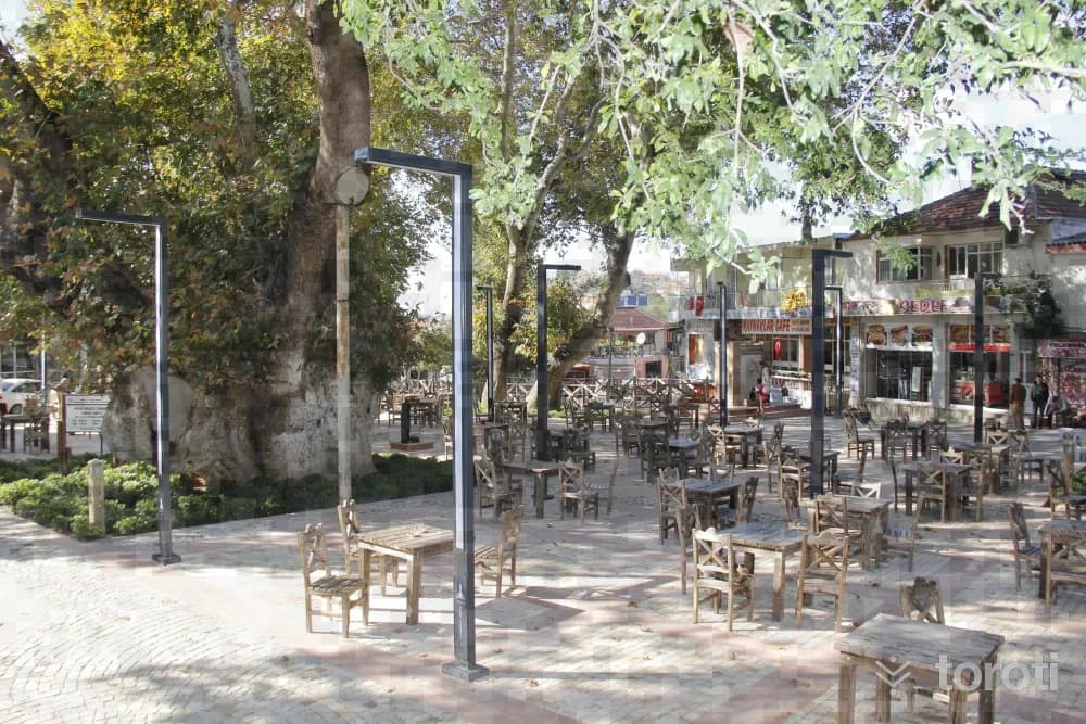
Bin Yillik Tarihi Çinarlar
Buca, İzmir
In Buca Kaynaklar Merkez Mahallesi, in the square where the village mosque is also located, there are 5 plane trees that have completed a thousand years. It is the route used by mountaineers to ascend Nif Dağı. Breakfast halls, and the opportunity to have tea, coffee, food and rest under the trees can be found.
7
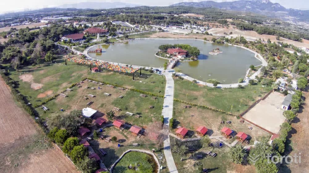
Buca Göleti
Buca, İzmir
Buca Göleti is a large social facility area located in the Buca district of İzmir. It offers various activities with a 30,000 square meter artificial lake, a theater, picnic areas, and children's play units.
8
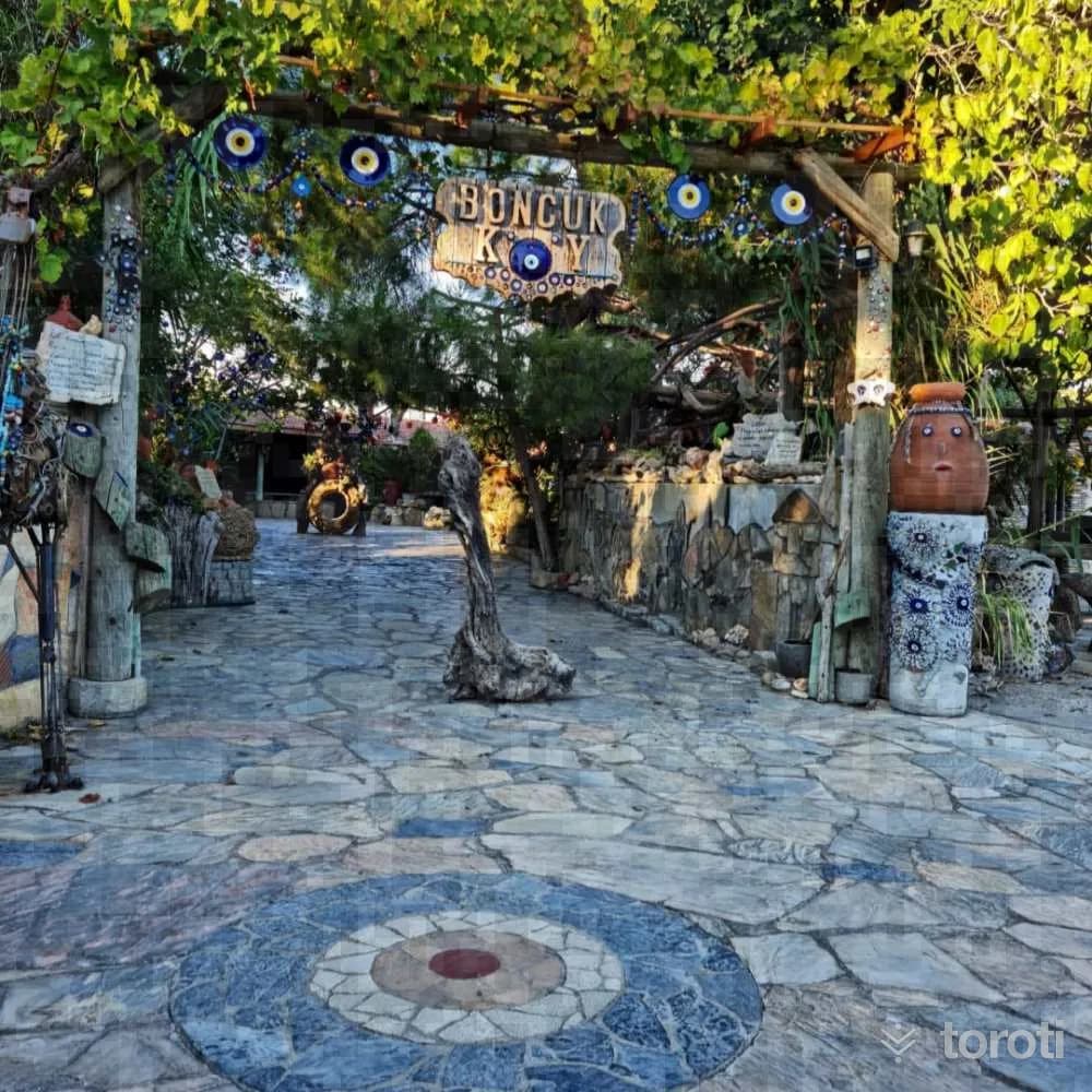
Boncukköy
Menderes, İzmir
Boncukköy is a village famous for its evil eye beads and glass art. Efforts continue to promote the challenging yet beautiful craft of evil eye bead making.
9
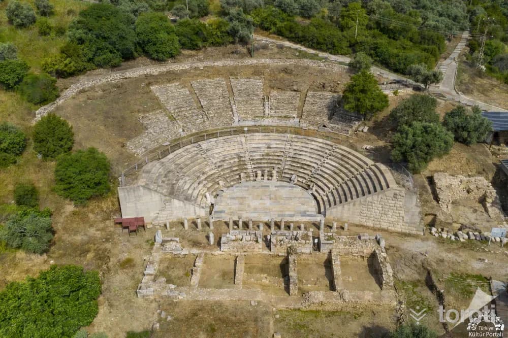
Metropolis Örenyeri
Torbalı, İzmir
Metropolis is an ancient settlement located 45 km east of Izmir, featuring remnants from the Hellenistic period and a theater that offers historical richness.
- No image
10
Jeep Ve Atv Safari
Selçuk, İzmir
Jeep and ATV safari services are offered in Selçuk and Menderes districts. It is possible to experience an unforgettable adventure amidst natural beauty.
11
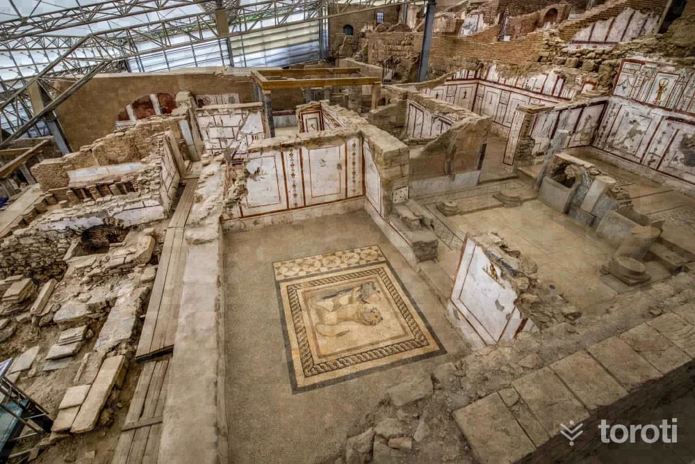
Efes Yamaç Evler
Selçuk, İzmir
The Terrace Houses of Ephesus are a well-preserved settlement of seven houses from the Roman period of the ancient city of Ephesus.
12
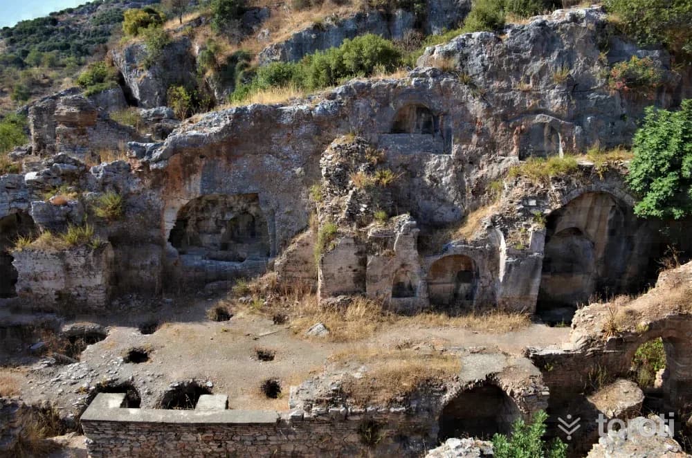
Yedi Uyuyanlar Mağarası
Selçuk, İzmir
The Cave of the Seven Sleepers is a tourist site located near the ancient city of Ephesus, significant in both Islam and Christianity.
- No image
13
Trajan Çeşmesi
Selçuk, İzmir
The Trajan Fountain is a historical structure located in the Ancient City of Ephesus, built in the 2nd century AD.
- No image
14
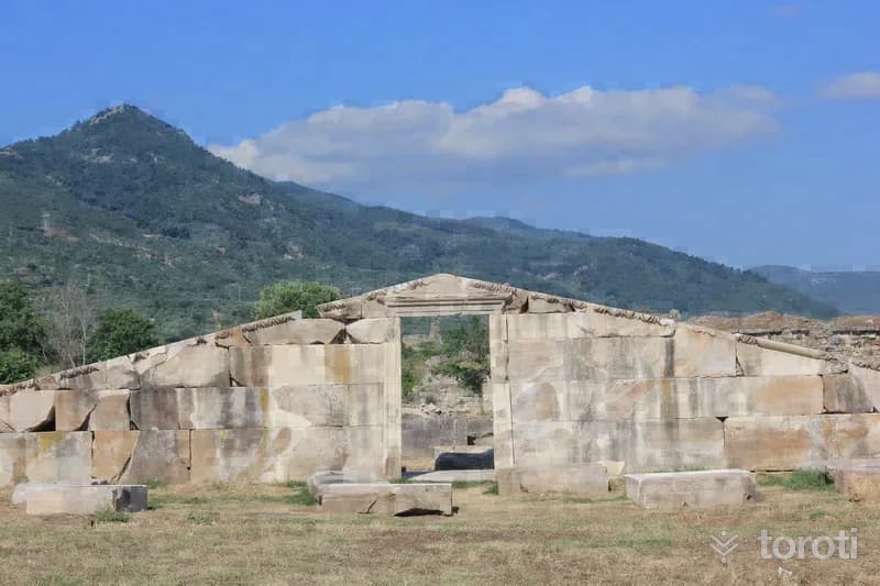
Şirince Köyü
Selçuk, İzmir
Şirince Village is known for its historical and natural beauty. It is notable for its high level of wine production.
15
Magnesia Antik Kenti
Germencik, Aydın
The Ancient City of Magnesia is a historical settlement located in Germencik, Aydın. This city, known for its significance as a trade center in ancient times, is recognized for the works of architect Hermogenes.
- No image
16
Aydın Arkeoloji Müzesi
Efeler, Aydın
The Aydın Archaeology Museum showcases stone artifacts from ancient cities within the borders of Aydın province.
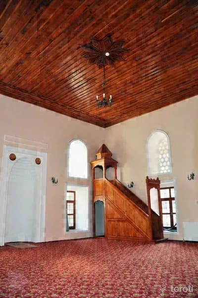
17
Nasuhpaşa Küllliyesi
Efeler, Aydın
Nasuhpaşa Külliyesi is a historical madrasa located in Aydın. It was restored and opened to visitors in 2010.
- No image
18
Cemal Bey Hamamı
Efeler, Aydın
Cemal Bey Hamamı, also known as Bey Hamamı, is a historic structure located near the Nasuh Paşa Complex. It is currently in a dilapidated state, with traces indicating it was once decorated.
- No image
19
Alihan Baba Türbesi
Efeler, Aydın
The Alihan Baba Tomb belongs to Alihan Baba from Horasan, who established significant structures and foundations in the Aydın and Tire region.
- No image
20
Eski Yeni (Hasan Çelebi) Cami
Efeler, Aydın
The Eski Yeni Mosque, built before 1585, is a historic place of worship. Its square plan and single dome are notable features.
21
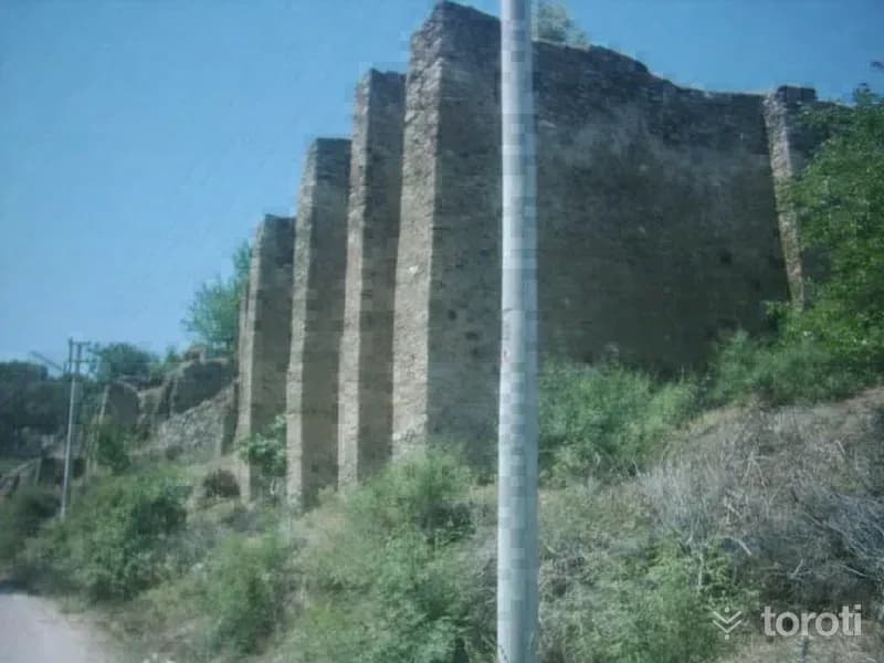
Cincin Kalesi
Koçarlı, Aydın
Cincin Castle is a historical structure located in the Koçarlı district, built to ensure the safety of the Cihanoğulları.
- No image
22
Gümrükönü Hamamı
Efeler, Aydın
Gümrükönü Hamamı is a beautiful example of Ottoman baths built in the 16th century.
- No image
23
Süleyman Bey Camii
Efeler, Aydın
Süleyman Bey Mosque is a historical mosque built in the classical Ottoman style.
- No image
24
Ramazan Paşa Camii
Efeler, Aydın
Ramazan Paşa Mosque is a historic mosque that has undergone two construction phases. The original structure was commissioned by Ramazan Paşa in 1595, while the current building was constructed in 1901.
- No image
25
Çavuş Köprüsü
Efeler, Aydın
Çavuş Bridge is a historical bridge built with cut stone material, located over the Tabakhane stream.
26
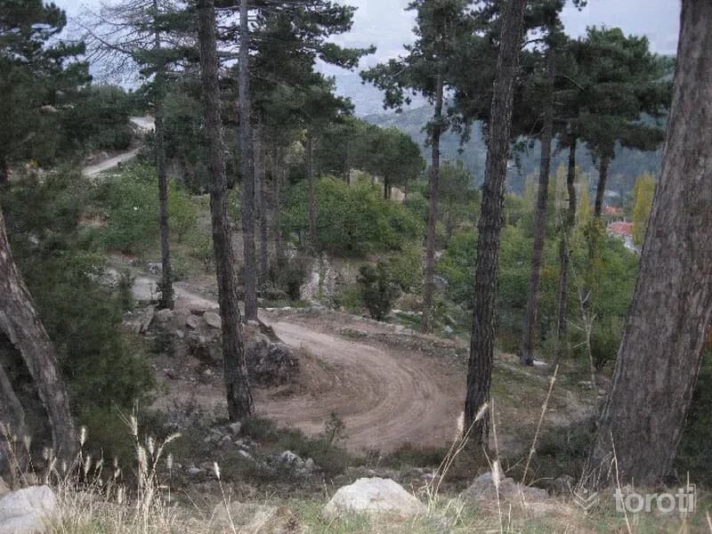
Doğa Yürüyüşü (trekking) - Madran Yaylası
Çine, Aydın
It is on Madran Dağı, which is Aydın's highest mountain at 1792 metres and is located to the east of Çine District. The plateau, where activities such as day trips and trekking can be done, is an important destination for the local people during the heat of the summer season.
27
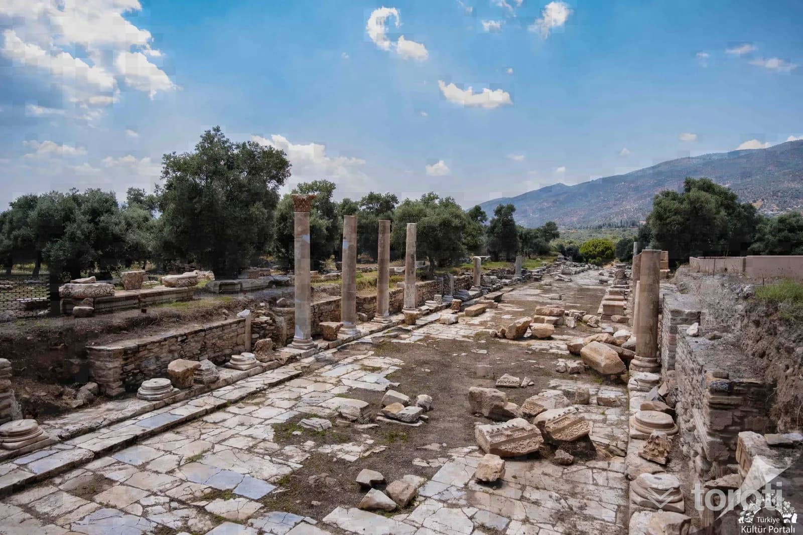
Nysa Antik Kenti
Sultanhisar, Aydın
The source for the history of the ancient city of Nysxa (Nisa), established on slopes full of olive groves on the foothills of Malgaç Dagi to the north of the Sultanhisar district, is the geographer Strabo. The city, consisting of two parts due to the flood bed, was founded by Seleucid King Antiochus I on the site of an older settlement called Atymbra and was named after the king's wife.
28
Yörük Ali Efe Evi Müzesi
Yenipazar, Aydın
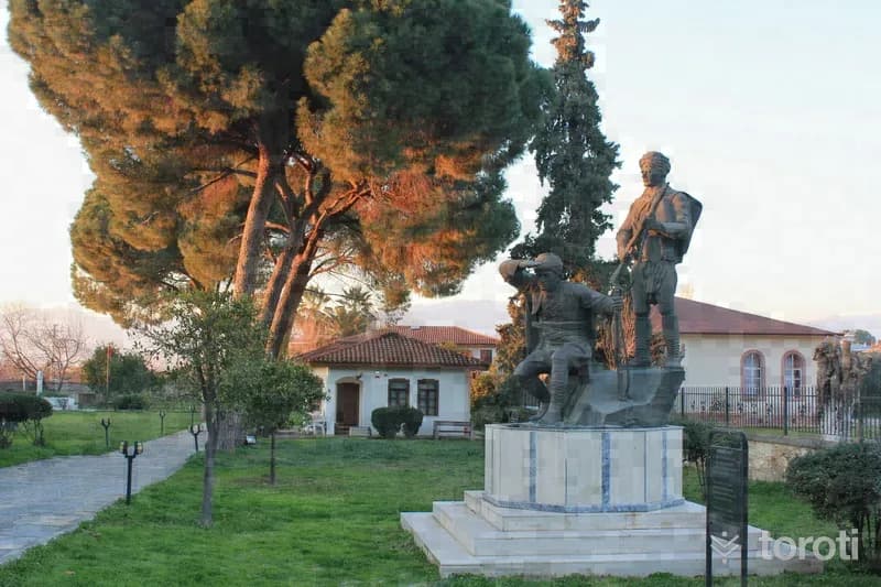
The house in the district center of Yenipazar where National Hero Yörük Ali Efe lived from his return from İzmir until his death was completely destroyed in a fire that broke out in the 1980s. In 1995, the proposal made by the Aydın Governorship to the Ministry of Culture was accepted, and Yörük Ali Efe’s heirs donated the house to the Ministry of Culture on the condition that it be turned into a museum. The allocation procedures were completed in 1999.
29
Donduran Kulesi
Yenipazar, Aydın
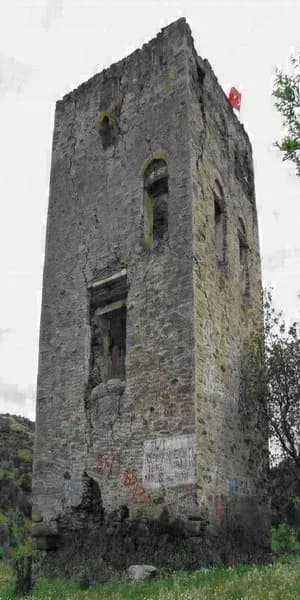
It is located to the south of Donduran Mahallesi. It was built of rubble stone, brick, and in places marble spolia material. The square space adjoining the west façade of the tower, which consists of two adjoining square spaces, is smaller in size. Donduran Kulesi, a cubic structure, consists of two floors and a terrace floor. The wooden floor structures are not extant because they burned. On the east wall of the second floor there is a fireplace with a triangular pediment. On the terrace floor there are loopholes in the walls.
- No image
30
Donduran Kalesi
Yenipazar, Aydın
It is located within the borders of Donduran Village in Yenipazar District. Strabo, one of the writers of Antiquity, mentions Orthosia as a Carian settlement. The city, which was attacked by the Cimmerians in the 7th century B.C., was freed from this domination as a result of the Lydian King Alyattes defeating the Cimmerians and, in the 6th century B.C., passed into the hands of the Lydians, then joined the Ionian league and, like many Anatolian cities, came under Persian rule.
31
Arpaz Kalesi
Nazilli, Aydın
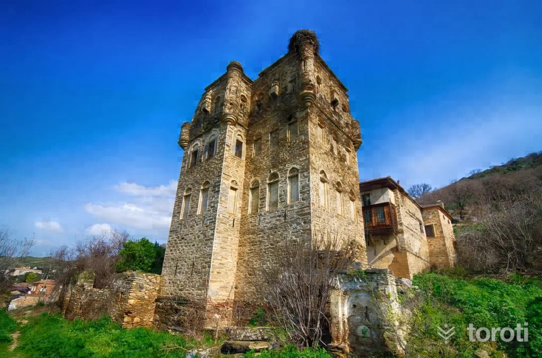
The group of structures located in Esenköy, connected to Nazilli, was established on the foothills of Harpasa Castle, a Carian city. In some sources, the name of this place is also mentioned as Arpaz Tower. It was commissioned by the Arpaz Beys in the early 19th century. However, Ottoman Period remains dating to the 17th and 18th centuries have also been encountered here. Based on this, it can also be thought that the castle was built in an earlier period and later renovated.
- No image
32
Mastaura Antik Kenti
Nazilli, Aydın
It is a small ancient settlement located 1 km. north of Bozyurt Village in the Nazilli district. Among the structural remains visible today, the stage building formed with a two-tiered arched terrace in the northwest of the city is partially preserved today, and the orchestra section is covered with olive trees. The graves, half exposed, in the necropolis area located in the southeast of the city display characteristics of the Roman Period.
- No image
33
Karacasu Etnografya Müzesi
Karacasu, Aydın
The museum, which opened to visitors in 2007, exhibits ethnographic works related to the district’s ceramics, hot iron, leather and other handicrafts from past to present.
34
Doğa Sporları - Karabağlar Kanyonu
Karacasu, Aydın
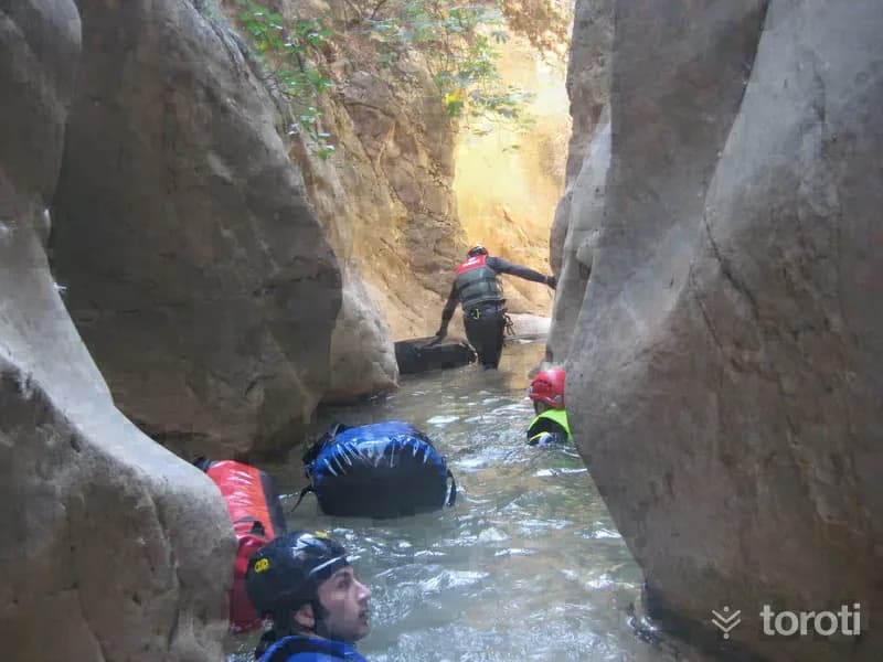
Karabağlar Canyon Karabağlar Canyon is a water-filled canyon and is 2,5 km long. It joins Görle Canyon in Aşağı Görle Village. The canyon entrance is located on the road between Karacasu Karabağlar village and Aşağı Görle Village, and its water flows into Kemer Dam Pond. In the canyon, whose depth is shallow at the beginning, the depth reaches 50 m. as you proceed. Its width narrows in some places to the point that only one person can pass through. There are 3 waterfalls in the canyon that require rope descent.
- No image
35
Buldan Çarşı Cami
Buldan, Denizli
The mosque was built in the 17th century. The structure, built of stone material, is covered with a flat wooden ceiling and a hipped roof. Together with the registered inn located right next to it, the building constitutes an important document regarding the texture of Buldan's old bazaar.
36
Sarayköy Tekke-tirkaz Hamamlari
Sarayköy, Denizli
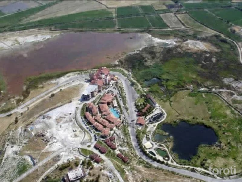
The district is established on the Menderes Plain and is located on the Denizli- Aydın- İzmir Highway. It is 22 km from Denizli city center and 220 km from the Aegean Sea. There are important geothermal facilities in the district. Foremost among these is the geothermal area in Hamamaltı locality near Karataş Village.
37
Attudda Antik Kenti (Hisarköy)
Sarayköy, Denizli
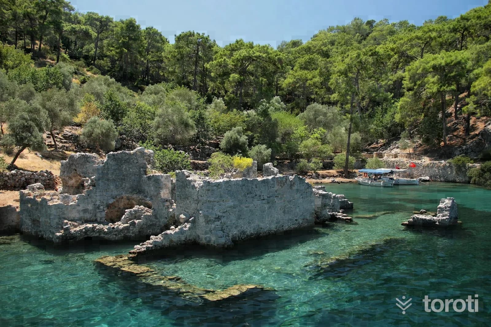
It is located within the borders of Sarayköy district and approximately 17 km. southwest of the district. In the ancient period, it was a border city between Caria and Phrygia. The shortest road connecting Tripolis and Laodikeia in the Çürüksu valley to Aphrodisias passes through Attuda. Although there is no definite information about the city's first establishment, it is estimated that it was contemporary with the cities founded in the Lykos valley and was established in the Hellenistic period.
38
Hisar Köyü Attouda Antik Kenti
Sarayköy, Denizli
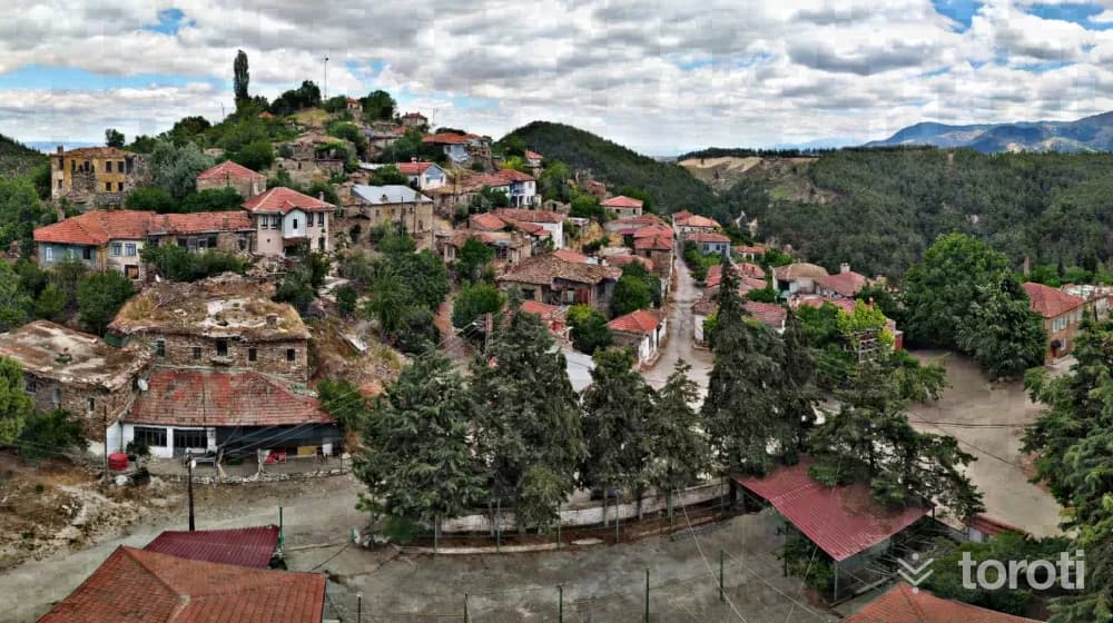
The Ancient City of Attouda, located in Sarayköy district of Denizli province, lies within the boundaries of a historic village settlement now known as Hisar, whose history dates back to the Seljuk Period. The settlement, established on a hill with steep cliffs on three sides to the north of Salbakos (Babadağ) Mountain, has the appearance of a natural fortress and is quite well protected.
39
Tripolis Antik Kenti
Buldan, Denizli
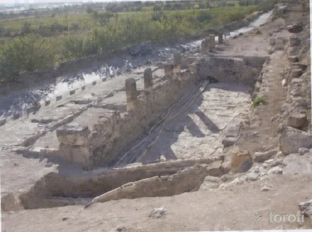
Tripolis Ancient City; it was established on a slope on the bank of the Menderes River. It is one of the ancient cities with access to the Aegean through the valleys opening to the west and north, and to Central Anatolia and the Mediterranean through the Çürüksu Plain and its valleys to the southeast. It is 30 kilometers from its contemporary Laodikeia, established in the Çürüksu Valley to the south of the city, and 20 kilometers from Hierapolis.
- No image
40
Gölemezli Termal Turizm Merkezi
Pamukkale, Denizli
The Akköy- Gölemezli Thermal Tourism Center Area is located adjacent to the boundaries of the Pamukkale Special Environmental Protection Area, in the northwest of this region, and greenhouse cultivation based on geothermal heating is carried out in the region.
- No image
41
Hierapolis Hamam Bazilika
Pamukkale, Denizli
The bath, located next to the Frontinus gate and built in the 3rd century A.D., had the south-facing calidarium wall demolished after the 5th century and an apse added, thus transforming the bath into a three-aisled basilica. The barrel vault belonging to the previous structure was also replaced by 3 domes.
- No image
42
Hierapolis Antik Kenti
Pamukkale, Denizli
Denizli ilinin 18 km. kuzeyinde yer alan Hierapolis antik kentinin Arkeoloji literatüründe “Holy City” yani Kutsal Kent olarak adlandırılması, kentte bilinen bir çok tapınak ve diğer dinsel yapının varlığından kaynaklanmaktadır. Kentin kuruluşu hakkında bilgilerin kısıtlı olmasına karşın; Bergama Krallarından II. Eumenes tarafından MÖ. II.
- No image
43
Ahi Sinan Türbesi
Merkezefendi, Denizli
Ahi Sinan organized the tradesmen of Denizli and brought them together under one roof. He made very great contributions to the Ahi culture in Denizli and took his place in history. In the 13th century, he was serving in the lodge bearing his own name to the west of the present-day Kaleiçi Çarşısı. It is known from written sources that after his death, his tomb was also built within this lodge and that it remained in service until 1876.
- No image
44
Hatipoğlu Cami
Pamukkale, Denizli
The structure, which was built right at the beginning of the 20th century, is a building that needs to be preserved due to its location, dimensions, use of local materials, and facade arrangement.
- No image
45
Laodikya Antik Kenti
Merkezefendi, Denizli
Laodikeia Ancient City was established at a very favorable geographical point and to the south of the Lykos River. The name of the city appears in ancient sources mostly as “Laodikeia on the banks of the Lykos.” According to other ancient sources, the city was founded by Antiochos II between 261-263 BC, and the city was given the name of Antiochos's wife, Laodike.
46
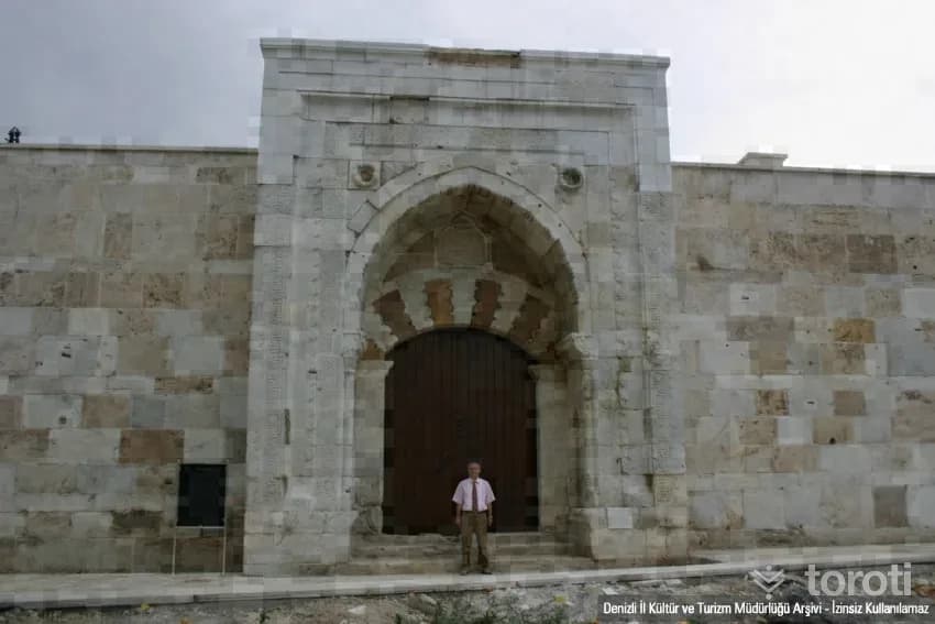
Akhan Kervansarayı
Pamukkale, Denizli
Akhan Caravanserai, one of the last caravanserais of the Anatolian Seljuks in the west and bearing two inscriptions, is a rather small inn although it conforms to the plan of the sultan hans. The inn has two inscriptions. Its enclosed section was completed in 1253 (H. 651), and the courtyard in 1254 (H. 652). It was commissioned by Governor Seyfettin Karasungur bin Abdullah. The inscription mentions the name of II. İzzettin Keykavus.
47
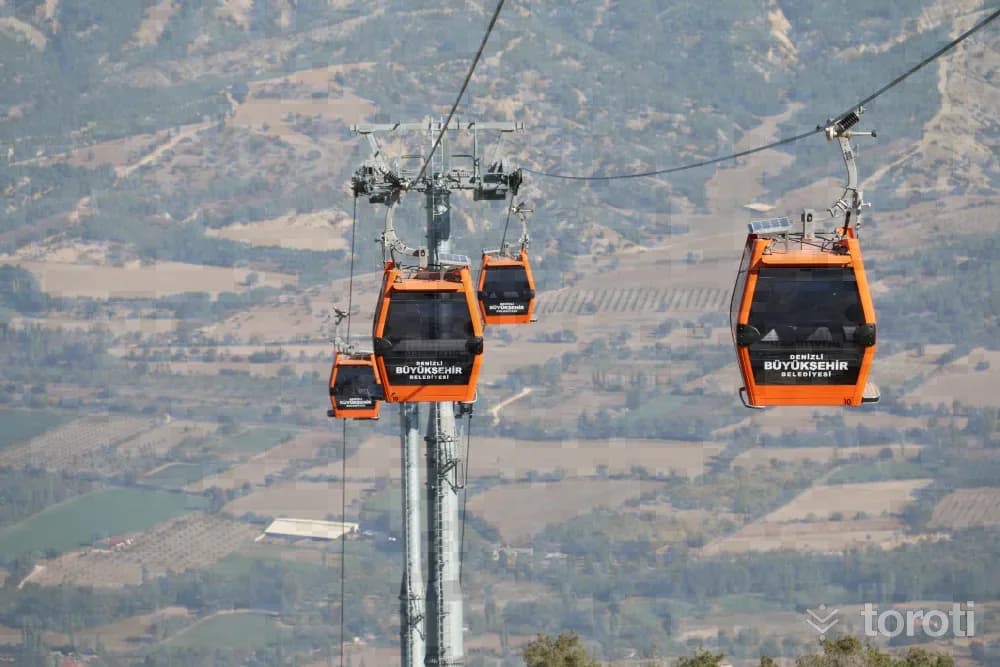
Denizli Bağbaşi Yaylası
Pamukkale, Denizli
Denizli Bağbaşı Yaylası attracts great interest in all 4 seasons of the year. Visitors enjoy cooling off at an altitude of 1400 meters. Those who go up to Bağbaşı Yaylası not only spend time as they wish, but also find the opportunity to stay here in bungalow houses and tents and enjoy local flavors together with their loved ones. The area, which is one of the centers of plateau tourism, draws attention especially for being the preference of guests coming from outside the city.

48
Honaz Dağı
Honaz, Denizli
Although Denizli province is in the Aegean Region on Turkey’s geographical map, the climate of the Aegean Region is not seen completely in climatic terms. Since it is at the point of passage from the coastal areas to the inland regions, the continental climate of the inland regions is felt, albeit slightly. Slightly lower temperature differences than the climate of the Aegean Region can be seen. Since the mountains in Denizli province generally extend perpendicular to the sea, they are open to winds coming from the sea. Winters are mild and rainy.
Move the stops into your own plan, split them across days, and add places to sleep and eat.
Frequently asked
- How far is it between İzmir and Denizli, and how long does it take?
- Driving between İzmir and Denizli is roughly 269 kilometres and takes about 3 hours without stops.
- Where is it worth stopping between İzmir and Denizli?
- There are 332 described places within 20 km of the road between İzmir and Denizli. toroti lists 48 of them spread evenly along the drive, in the order you pass them; Nif Dağı Antik Kazı Alanı comes early on, and Honaz Dağı sits near the end.
- Which provinces does the İzmir to Denizli route cross?
- The route between İzmir and Denizli crosses İzmir → Manisa → Aydın → Denizli. The stretch richest in places to visit is in İzmir.
- Should I take the toll highway or traditional route between İzmir and Denizli?
- Toll motorways save driving time between İzmir and Denizli, whereas traditional state roads pass directly through historic town centers, local culinary stops, and scenic nature viewpoints.
- How should breaks be scheduled between İzmir and Denizli?
- For a drive of around 3 hours, taking a break every 2 to 2.5 hours is recommended. The catalogued attractions in İzmir and neighboring provinces offer memorable stopovers compared to generic highway rest areas.