
Places to visit
Things to do in Sakarya
60 destinations, each with a description, how long it takes and where it sits on the map.
In short
toroti’s catalogue holds 60 described destinations within Sakarya. The themes that come up most: Faith heritage, Nature, Local culture, History, Museum, Culture.
Districts of Sakarya
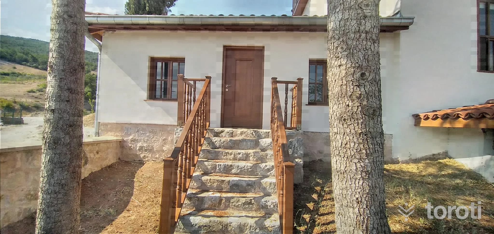
Karaca Ahmet Sultan Türbesi
It is a tomb adjacent to the village mosque located within the boundaries of Paşalar Köyü. It is rumored that the tomb lived in the Akhisar (Pamukova) district under the patronage of Çandarlı (Cendereli) Kara Halil Hayrettin Paşa, who served as grand vizier and military judge during the reign of I.Murat, one of the sultans of the Ottoman Empire, and that he was a great saint.
20 minutes
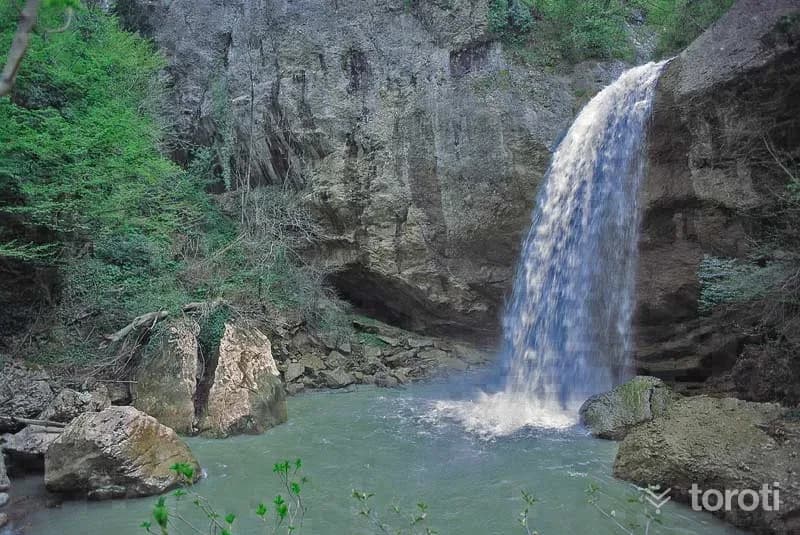
Doğançay Şelalesi
Doğançay Waterfall is 600 metres above sea level. The road leading to the waterfall is also used as a hiking-trekking trail. It ranks among the top places to see in Sakarya. With its unspoiled nature, it offers its visitors a visual feast.
45 minutes
Altıoluk Eskiyayla
The route, which starts from a place near the summit of Kartepe, ends at Eski Yayla (Öküzyatağı), located within the borders of Sakarya's Pamukova district, after Altıoluk Yaylası. Thus, we walk the Samanlı Mountains from the northern direction (İzmit Gulf) toward the southern direction (Sakarya Valley). The journey, which begins after passing Kuzu Yayla, located just below the summit point on Kartepe, ends within the borders of Sakarya.
45 minutes
Kuzuluk Orman İÇİ Dinlenme Yeri
It is located on the Adapazarı-Akyazı-Mudurnu road, 8 kilometers from Akyazı and 34 kilometers from Adapazarı. It has an area of 11,85 hectares. It was established in 1996. In the area; there are facilities such as a countryside casino, toilet, fountain, entrance control booth, and children's playground. The forest recreation area, covered with beech and oak forest, has a development plan.
45 minutes
Haciyakup Çayiri Kartepe Zirvesi
Kartepe, the Samanlı Mountains and Kocaeli's highest point (1602 m.), it is possible to observe Bursa Uludağ and the entire Samanlı range from the Summit Point and to watch the Gulf of İzmit and Lake Sapanca from a bird's-eye view. Kartepe has become a center of attraction in terms of ski tourism in recent years. The journey, which begins after passing Kuzu Yayla located just below the summit point of Kartepe, ends within the borders of Sakarya.
45 minutes
Su Kayağı
Sapanca Gölü, a large part of which is in our province, is located here. Today, water skiing has become a popular sport in many countries where environmental conditions such as calm seas, rivers, and lakes are suitable. The Vali Yazıcıoğlu water skiing competitions, first held in 2004, continue to be organized every year at Sapanca Gölü. Athletes from many parts of Turkey participate in the championship.
45 minutes
Çark
A mill was built on today’s Çark Suyu between 1581-1585 to meet the needs of Ada Karyesi. In place of this mill, which served for nearly 250 years, in 1734 the philanthropist Devoğlu Mustafa had a primitive “water wheel”/“çark” built and ditches-canals opened, and the water of Çark was carried to the Orta Camii fountain and to Adapazarı as drinking water.
20 minutes
Sapanca-erdemli-kadipinar
Sapanca "Erdemli-Kadıpınar" Length: 7 km Difficulty Level: 1/5 Features: The starting point of the route is the road to Sapanca Soğucak plateau. Along the route there are linden, chestnut and pine trees. Facilities: At the start of the route there is drinking water, trout farms and restaurants.
45 minutes
Kent Park
Located in the city center, Kentpark, created by transforming 160 thousand m² of rubble into greenery, was turned into a place where people can breathe and escape the exhausting city life. With an approximately 4.500-meter walking area, all surfaces in Kentpark were grassed while preserving the natural environment and trees. The park has a 14.000 m² pond.
60 minutes
Avluburun Yankilise-esme
This hiking trail with a view of Sapanca Lake passes through fruit orchards. During the period from April to October, it continues with cherries, plums, pears, walnuts, figs and quinces in turn. The starting point of this trail is in the area located just at the exit of Avluburun Village.
45 minutes
Belengerme Yaylası
Belengerme Plateau is located in the Taraklı district. It is one of the plateaus visited by those seeking peace with its quiet nature. When viewed from Belengerme Hill, the entirety of the natural wonder Karagöl Plateau can be seen.
60 minutes
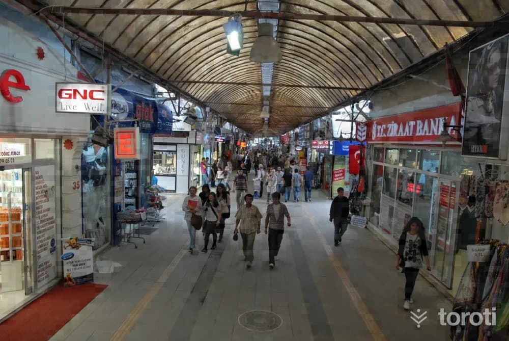
Uzun Çarşı
Adapazarı is not only the junction point of three continents, but also the heir to three separate empires. Of the Bithynians, who gave the river the name of the “queen-goddesses Sangaryus,” and the famous II, who had the Jüstinyanus Bridge (known among the people as Beşköprü) built.
45 minutes
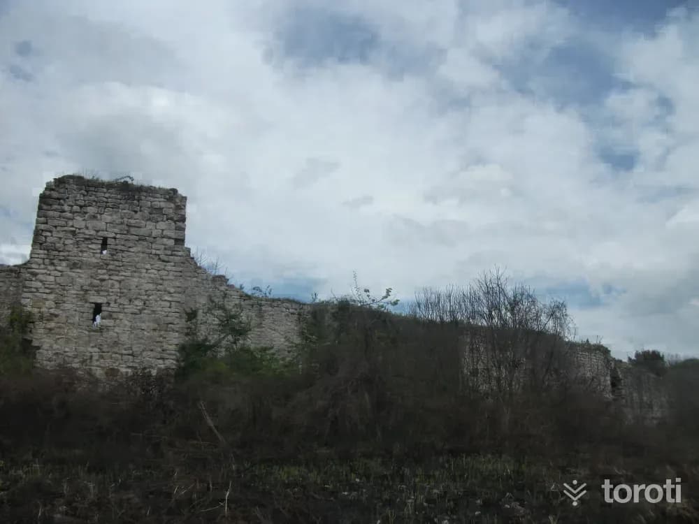
Harmantepe Kalesi
Harmantepe Castle, located to the north of Adapazarı Harmantepe Village, was built on a small natural hill. While its surroundings were marshy and swampy, they were later transformed into fertile agricultural land thanks to the canals opened on both sides. To reach the castle, it is necessary to turn onto the field road branching off to the left from the road going from Küçük Söğütlü to Akçakamış Village. Access is a little difficult in rainy weather.
45 minutes
Ii. Bayezid Köprüsü
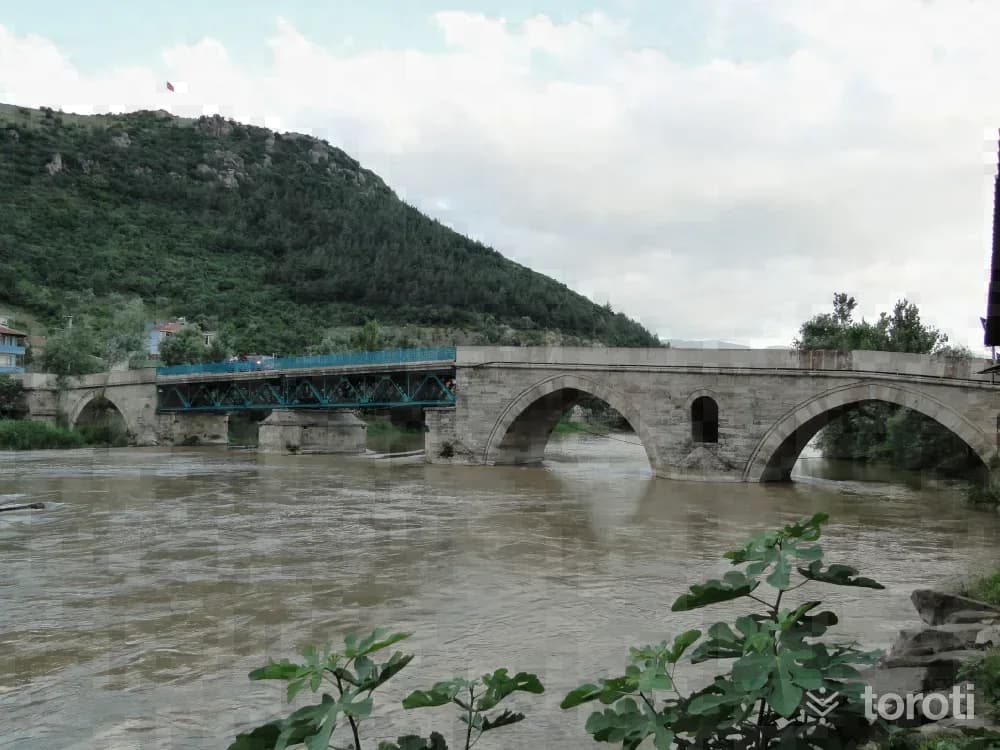
It is a bridge made of large cut stones over the Sakarya River, on the section connecting Ali Fuat Paşa Township to Geyve District. Its inscription states, “This bridge was commissioned in H. 901 (A.D. 1495) by II. Bayazıd, the son of Fatih, who opened a new era in history.” There are nine small arches on the Ali Fuat Paşa side of the bridge.
45 minutes
Şeyh Müslihiddin Camii
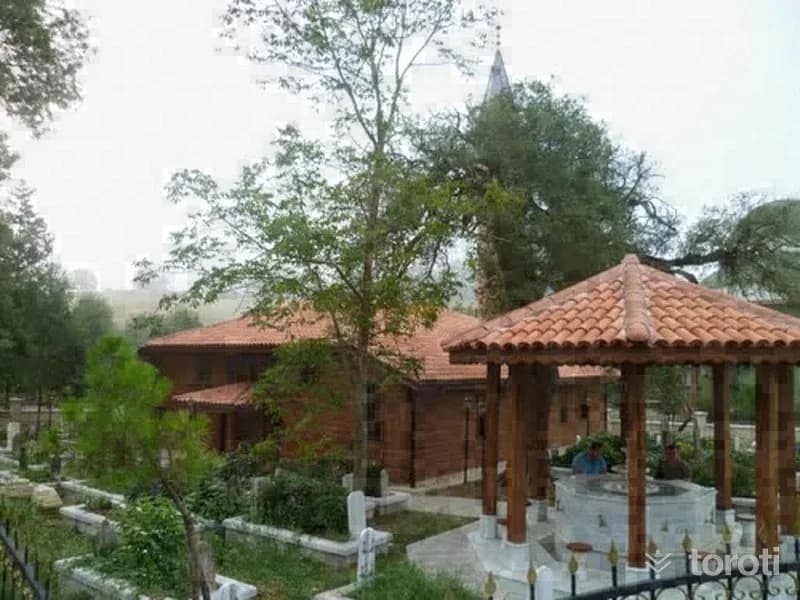
The most important historical monument located in Şeyhler is Şeyh Muslihiddin Camii, located in what is today called Büyük Kaynarca Köyü. The construction of this mosque, which gave its name to the subdistrict, was carried out by Şeyh Muslihiddin of the Âhi organization in the XIVth century. As a structure, Şeyh Muslihiddin Camii is recorded in the General Directorate of Foundations Archive, in register number 1767, H.
45 minutes
Ağa Camii
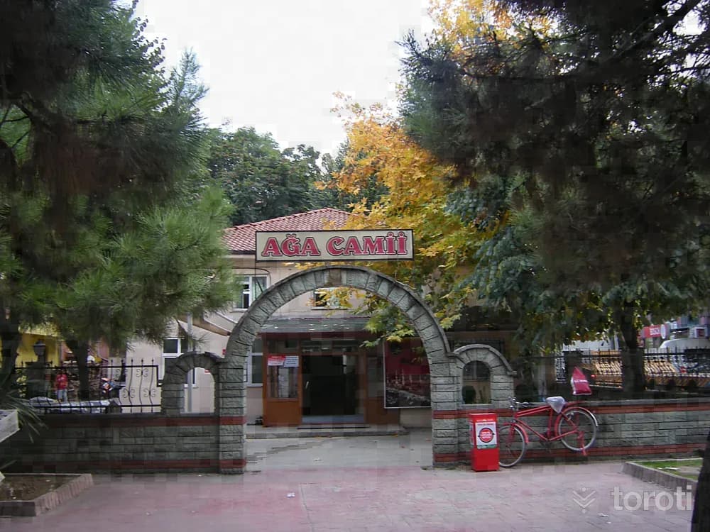
A simplicity is also noticeable inside Ağa Camii, located on Kömürpazarı Bankalar Caddesi. Its walls are not ornate, and there are religious inscriptions within frames. The structure, built on a stone foundation, is masonry. It is one of the small mosques in Adapazarı. It was built in the form of two storeys, and its minaret was added later. The mosque, said to be 200 years old, has a roof covered with tiles and does not have a dome.
45 minutes
Karincali Dede Türbesi
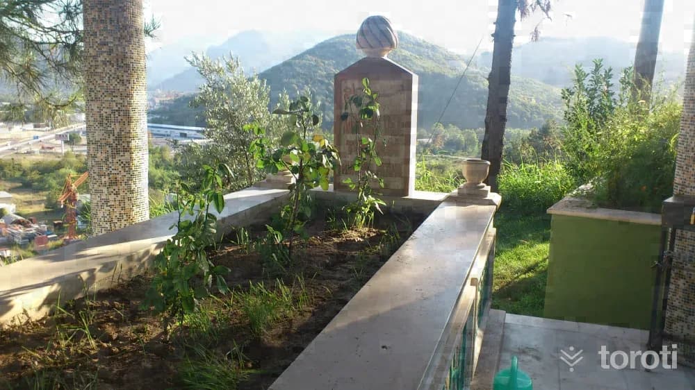
It is said that the tomb, located on a high rock in the Adliye Köyü area of the E-25 Highway connecting Adapazarı to Bilecik, took its name from a Turkmen saint who established superhuman relations with ants and almost spoke with them. According to the legend, the inhabitants of a village overrun by ants apply to Karınca Baba. They ask him to save their village from these ants. This person comes to the village, prays, and ensures that the village is rid of the ants.
45 minutes
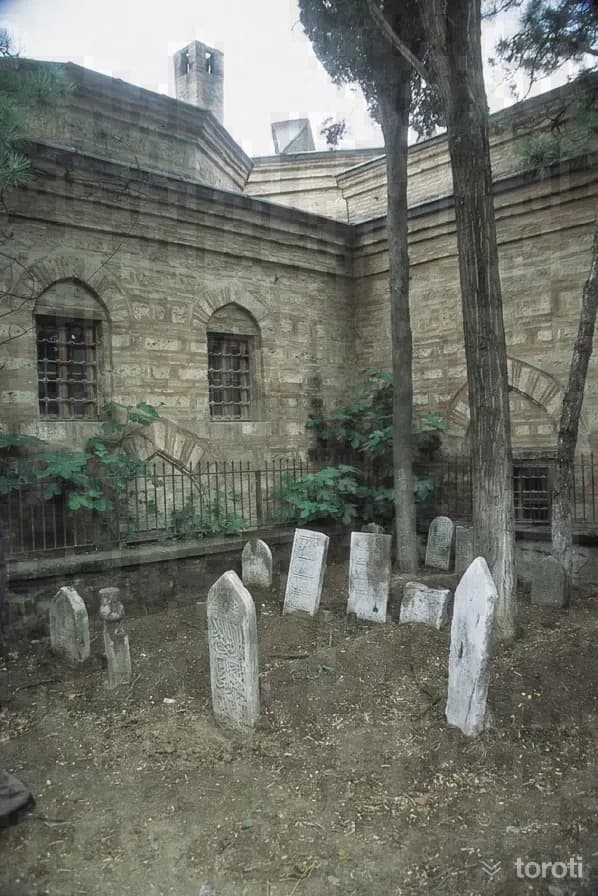
Sinan Bey Zaviyesi / Elvanbey İmareti
The name of the square-planned structure is “Geyve Elvan Bey İmareti” and it is one of the charitable foundations commissioned in 1450/1451 by Elvan Bey, the son of Çeşnigirbaşı (Aşçıbaşı) Paşacık Ağa, who was born to Mutahhara Hatun, the daughter of Sultan Veled, the son of Mevlana Celalettin Rumi (his father Sinan Bey was in the period of Fatih Sultan Mehmed). In some sources, however, this structure is referred to as “Geyve Sinan Bey Zaviyesi”.
45 minutes
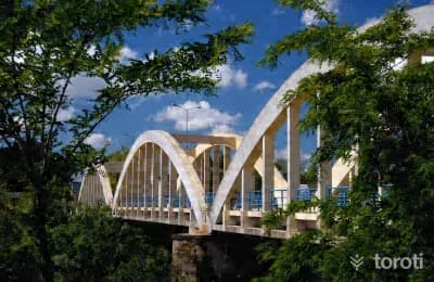
Sakarya Köprüsü
It was built in 1937 for 93 thousand liras. The “Sakarya Köprüsü,” which was stated by the Minister of Public Works of the period, Ali Çetinkaya, to have been built “By Atatürk’s direct order,” was constructed in 1936-37. While coming to Adapazarı by road via Bolu in July 1934, Atatürk, who crossed the wooden Tavuklar Köprüsü, now located near Kumköy, likely saw the inadequacy of the bridge and gave the order for “the construction of a solid and safe concrete bridge.
45 minutes
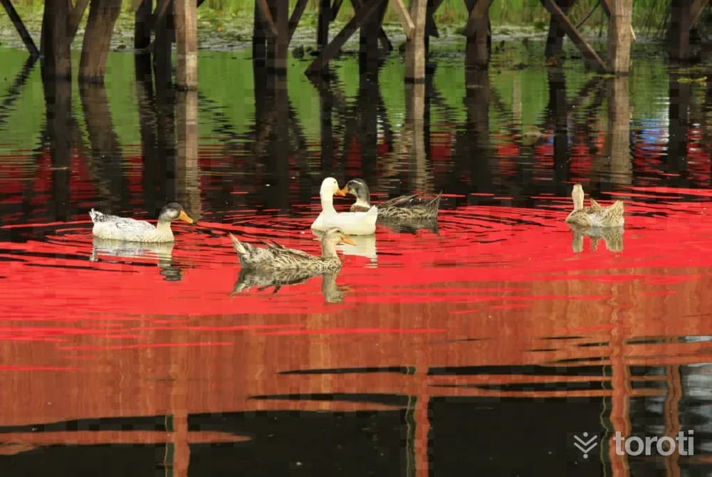
Acarlar Longozu
Covering an area of 1,562 hectares, Acarlar Lake is one of Sakarya’s important tourism centers. Acarlar Lake Flooded Forest is a first-degree natural protected area. Located within the conservation area, Acarlar Flooded Forest dries up in the summer months and forms with accumulated water in winter. The surface area of the flooded forest is 1,562 hectares, and its depth reaches up to 1,5 meters. The lands of the flooded forest, whose waters recede in summer, are used by villagers as agricultural land.
45 minutes
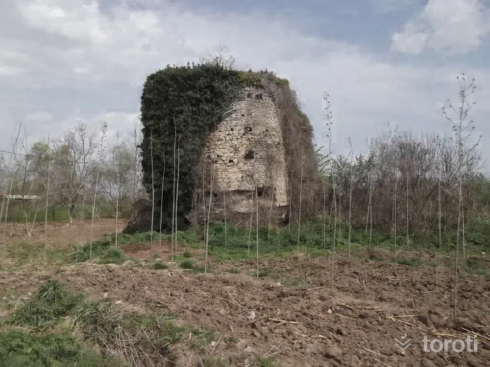
Seyifler Kalesi
To the north of Ferizli District, to the south of Seyifler Village, at the point where the Sakarya River comes close to Çark Suyu, the two semicircular bastions in the western and northern sections of the castle ruins are still standing.
45 minutes
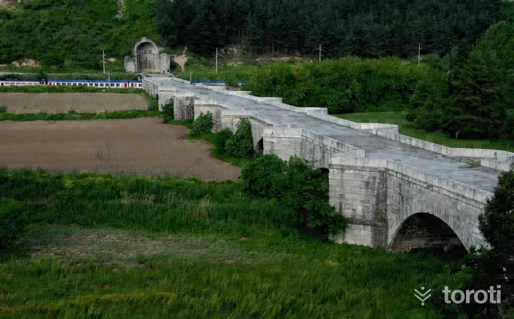
Justinianus Köprüsü
This stone bridge, commissioned by the Byzantine Emperor Justinianus (527-565) in AD 558-560, is 365 meters long, 9.85 meters wide, and has a total of 12 arches. At the western end of the bridge there are wheel ruts, and at the eastern end there are the remains of an apsidal structure and a vaulted structure related to the bridge. Previously, the bridge, which was called “pons” (bridge) in Latin, had no other distinctive name of its own.
45 minutes
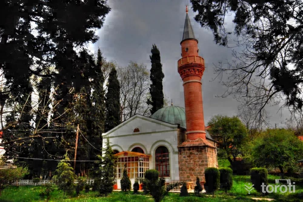
Rahime Sultan Camii
Located in Uzunkum, Sapanca, immediately behind Uzunkum Village Primary School, it was commissioned in 1892 by Peruste Rahime Sultan, the fourth wife of Abdülmecit. The building, constructed in rubble stone and brick masonry style, has arched windows on its front facade. Its minaret, which was damaged in the 17 August earthquake, collapsed and was later rebuilt. Rahime Sultan Camii has a dome, and its interior is decorated with carvings; today, it is one of the few mosques that has preserved its original structure.
45 minutes
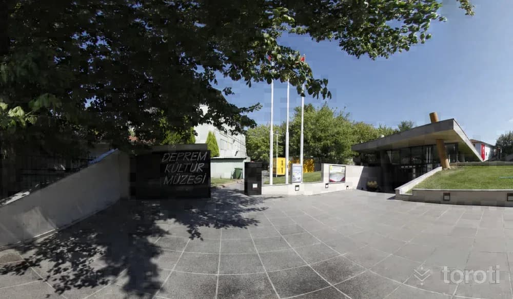
Adapazari Deprem Ve Kültür Müzesi
The Earthquake Museum, located on Kavaklar Caddesi in Cumhuriyet Mahallesi in central Sakarya and affiliated with Adapazarı Municipality, has a usage area of 450 square meters.
45 minutes
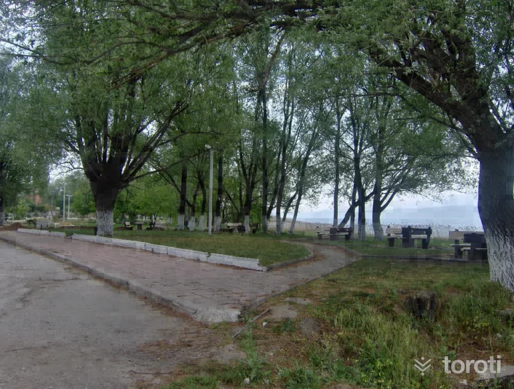
Sapanca Gölü
It is a freshwater lake located in the eastern part of the Marmara Region, in the eastern half of a long depression connecting the Adapazarı Plain with the İzmit Gulf Trough. The shores of Sapanca lie in Sakarya province in the east and in Kocaeli at the western end. Its basin is 252 square kilometers. Its surface area is 47 square kilometers. Its east-west length is 17 kilometers. Its north-south width is 5 kilometers. Its elevation above sea level is 31 meters. Its deepest point is 61 meters. The lake takes its name from the district established on its southern shore.
45 minutes
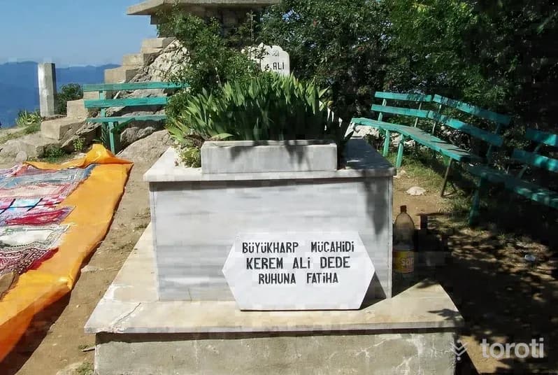
Keremali Türbesi
Keremali Tomb is located on Keramali Plateau in the Akyazı district. Various legends are told about Keremali Tomb: When four of the seven saintly brothers who rendered great services in the Islamization of Anatolia died, the remaining Kerem, Ali and Hasan came by boat to the foot of present-day Keremali Hill. Although Kerem and Ali got off the boat, Hasan did not. The others shouted after him, “Stop Hasan,” but Hasan did not stop and disappeared into the water.
45 minutes
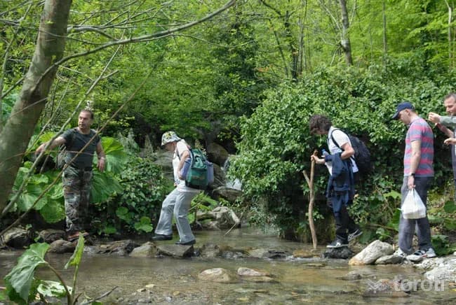
Sapanca-soğucak Şelalesi
It is possible to hike at Soğucak Waterfall at any time of the year. Throughout the hike, the path passes through a forest of chestnut, beech and linden trees. On hikes taken in June, the scent of linden accompanies you. Red-spotted trout grow naturally in İstanbul Stream. As you get closer to the waterfall, hornbeam and pine trees appear before you.
45 minutes
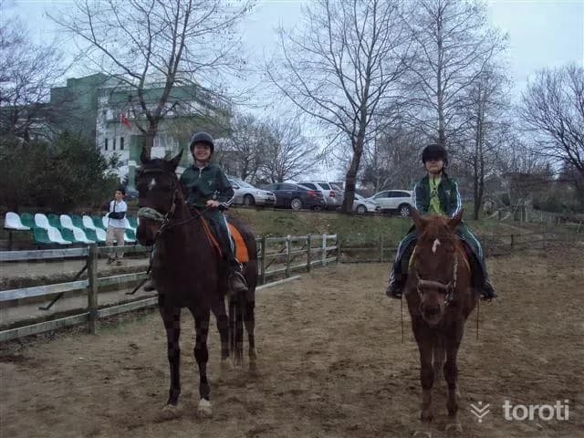
Akyazi Akbalik Yariş Alanı
Features of Akyazı Akbalık Race Area: These are organizations held together with competitors invited from surrounding provinces in order to observe and evaluate the latest condition of the horses bred by horse breeders in the region. Track: It is the race area prepared in advance according to the breed of the horses and the distance they will run. (1000/2000 Meters) In addition, the Akbalık Oil Wrestling is also held in this area.
45 minutes
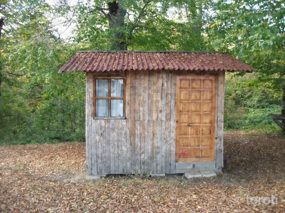
Soğucak Yaylası
Soğucak Plateau, which has an area of about 900 dönüm, is at an altitude of 1.100 meters and is 17 kilometers from Sapanca. From the direction of Sapanca-Muradiye Village, it is possible to reach the plateau with a journey of about 35 minutes by following the road that branches off to the right before arriving at Erdemli Village. Its busiest period is during the plateau festivities, which coincide with the second week of July.
45 minutes
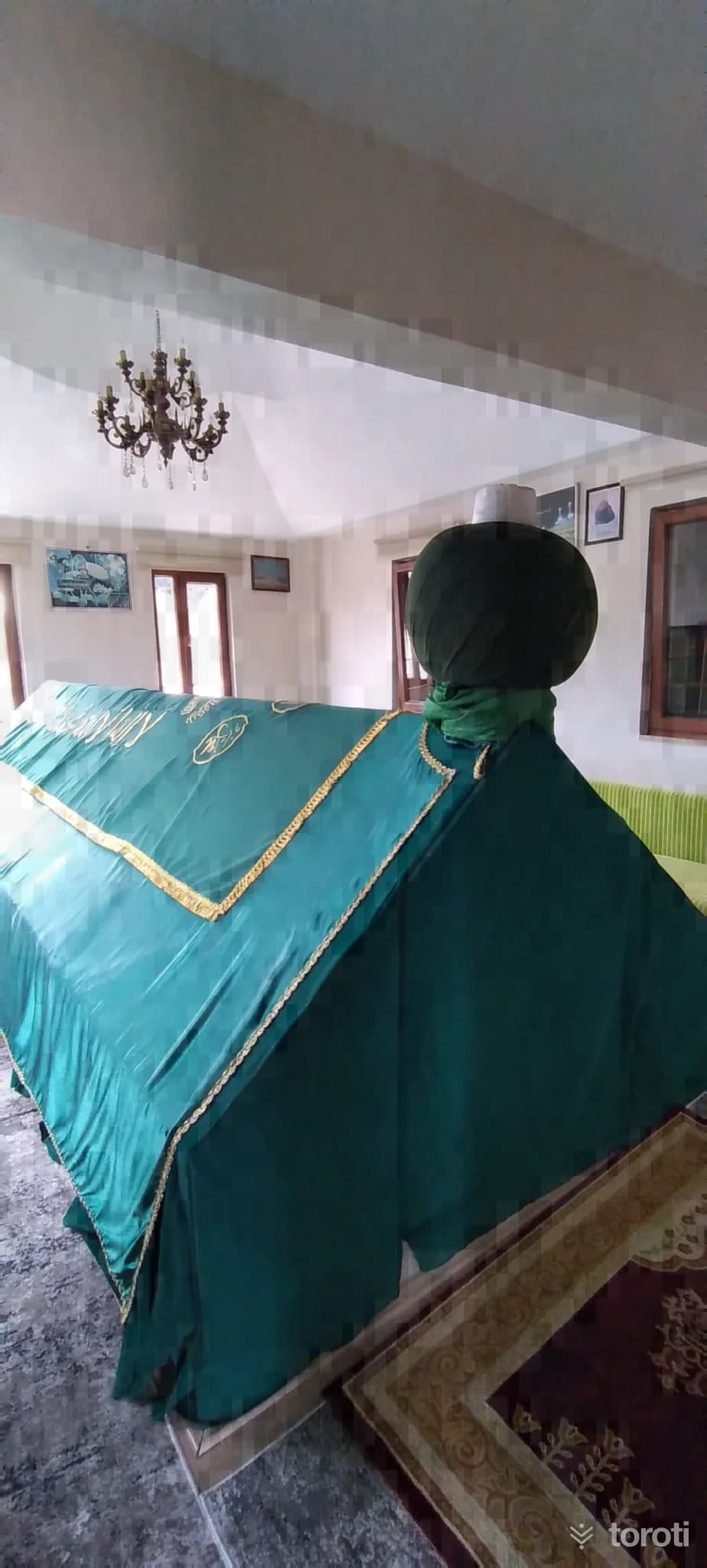
Sakar Dede Söylencesi ve Türbesi
According to the legend; one day, a saint named Sakar Dede happened to come to Adapazarı. While crossing Beşöprü over the Sakarya River, he was stopped and asked to pay a crossing tax. Although the saint said that he had no money and could not pay, no one paid any attention. He asked for permission to pass, but not only was permission not granted, he was also insulted. The Dede pointed with his hand in the direction of Kirazca Köyü and began to recite.
20 minutes
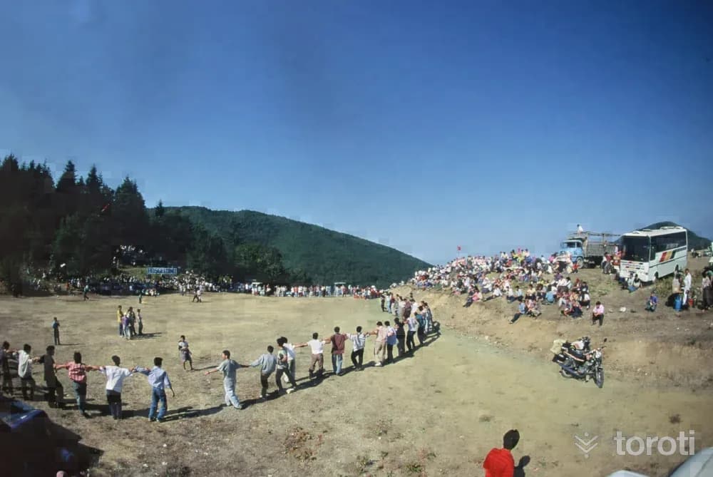
Kirca Yaylası
In the plateau, in the spring and summer months, there are abundant mountain violets and boxwood trees. While proceeding from Kırca Yaylası (855 altitude) toward Ali Fuat Paşa Kaymakamsuyu Cave along the stream bed, very valuable maples can be seen. When the main four-way junction is reached, after 600 meters Kirca Yaylası appears before us with its wide area. It is a route consisting of untouched areas within greenery, and there is also the possibility of passing to Sapanca Soğucak Yaylası.
45 minutes
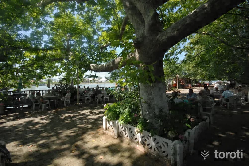
Yenimahalle (sakarya Nehri Ağzi)
It is the settlement in Karasu located exactly at the point where the Sakarya River flows into the sea. One side of the settlement divided into two by the river is called “Yenimahalle” and the opposite side is known as “İhsaniye.” A large majority of those settled in Yenimahalle consist of families who migrated from the Eastern Black Sea Region, generally from Trabzon. At the entrance of the neighborhood, a very সুন্দর road paved with cobblestones extends all the way to the sea.
45 minutes
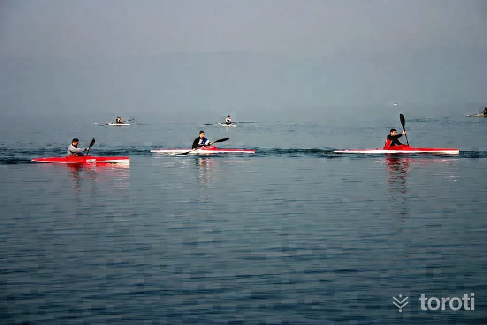
Akarsu Kanosu (mudurnu Çayi)
It is a 2-stage activity area starting from Dokurcun Town of Akyazı District and continuing to Kuzuluk Town. Course 1: 20 km between Akyazı Dokurcun and Beldibi village. Course 2: 12 km between Beldibi and Kuzuluk town. Course Features: It is a suitable and safe environment with a beautiful natural texture for those new to this sport.
45 minutes
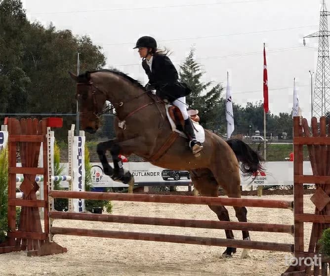
Sapanca Kirkpinar Beldesi At Biniciliği Ve Yarişlari
It is the Horse Racing Track located in Kırkpınar Town of Sapanca District in our province. It is a competition area prepared in advance according to the breed of the horses and the distance they will run. Equestrianism, which is one of the ancestral sports, consists of organizations held together with competitors invited from surrounding provinces in order to observe and evaluate the latest condition of the horses bred by horse breeders in the region.
45 minutes
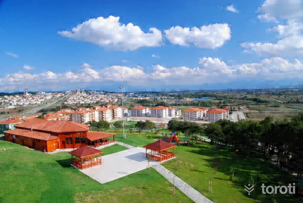
Adapazari Yenikent Parkı
The park area established in Yenikent by Sakarya Metropolitan Municipality was built on a total area of 35 dönüm. In the park, where many activities can be carried out together, visitors can do their sports in the area with basketball and volleyball courts and fitness equipment. In the park, 33 thousand square meters of which is green area, there is also a walking path 1,5 kilometers long. Yenikent Parkı brings vitality to the region.
45 minutes
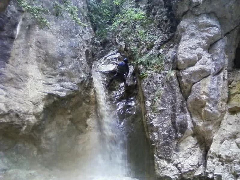
Harkköy Kanyonu
Taraklı; with 60 percent of its surface area covered by forests; with its geographical structure, vegetation, natural wonder picnic areas, the Hark canyon and Cave starting from Tuzla Köyü, Karagöl Yaylası, Güngörmez Waterfall, Kemer Bridge, Acısu, Hıdırlık Hill, Gürleyik Stream, Belengermesi, Hamza Spring, Çile Spring, Ak Fountain and Çoban Fountain, it is a truly charming Anatolian district worth seeing.
45 minutes
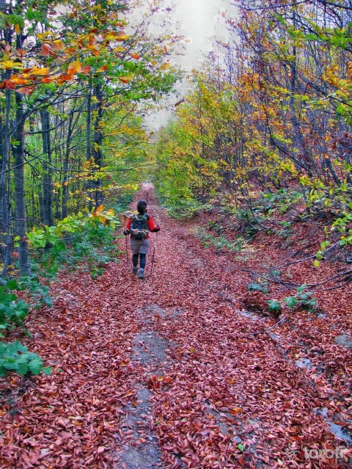
Kirpiyan Yaylası
Kirpiyan Yaylası is among the places frequently visited by nature lovers in summer and winter with its magnificent natural vegetation. The plateau is one of the important routes preferred by nature walkers. In the summer months, animal husbandry is carried out on the plateau by the local people. In Kirpiyan Yaylası, difficulties are experienced in transportation in the winter months due to heavy snow. It is one of the most beautiful places you can choose for a picnic with your family in Sakarya.
45 minutes
Acelle Yaylası
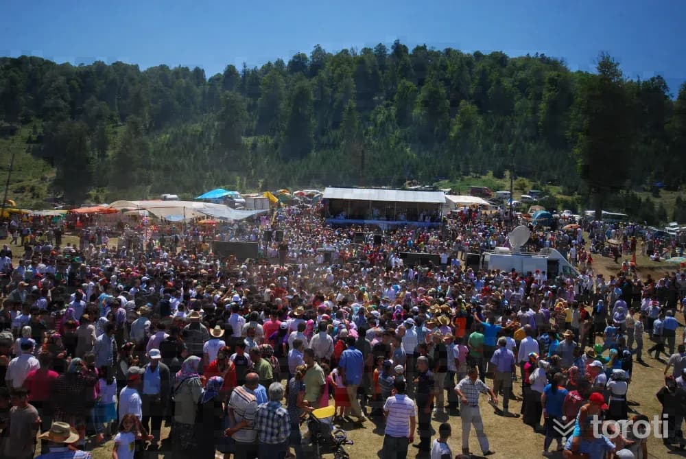
Acelle Yaylası has vegetation consisting of broad-leaved and coniferous trees. There are also dwarf trees consisting of rhododendron and boxwood in the forest interiors. Ground mushrooms and tree mushrooms such as Kanlıca and kuzugöbeği can be found. Enişte Deresi passes right through the middle of the plateau.
45 minutes
Ralli
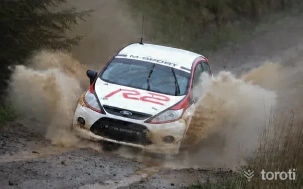
Korucuk Neighborhood Rally Cross Track Location: Behind the Korucuk Neighborhood Family Health Center Features: These are time-based organizations in which obstacles such as hills, mounds, and water channels are created with construction machinery in order to increase the difficulty level of the ground. Track Length: 2.5 km. It is a track that from time to time continues on the foothills by going off-route. Equipment: Helmet, special fireproof clothing, gloves, boots designed to minimize impacts.
45 minutes
Ağaç Baba Söylencesi ve Türbesi
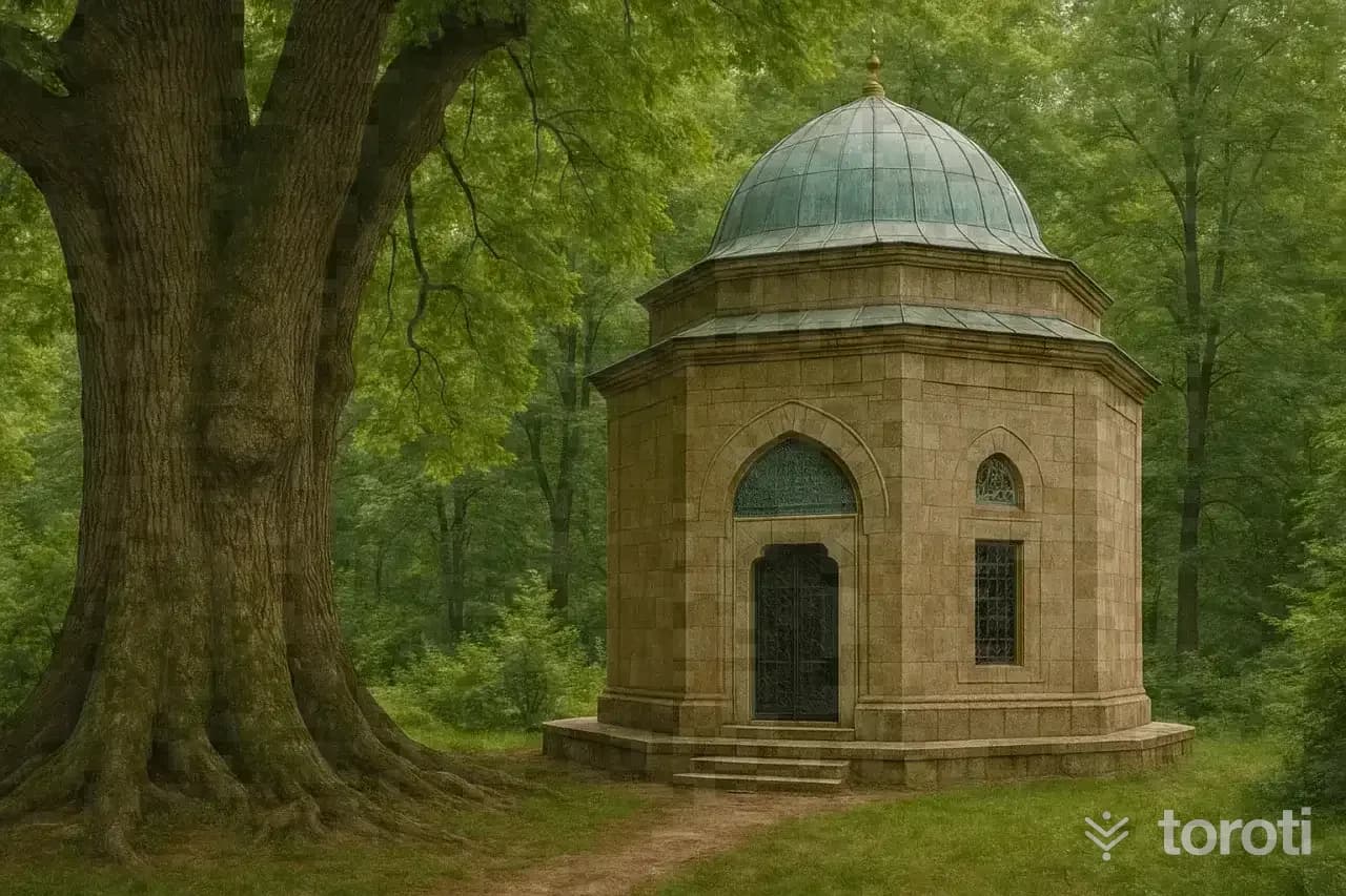
Ağaç Baba would go down to the forest in spring and grow saplings and trees in empty fields. Those who cut down or harmed the trees planted and grown by Ağaç Baba could not escape a thousand and one troubles and disasters. Therefore, no one could lay a hand on the forests. As he was dying, Ağaç Baba's last wish was this: “After me, if you want your children to be happy and your lands to be fertile, do not touch my trees. If you want to find happiness in both worlds, plant trees like I did.
20 minutes
Çiğdem Yaylası
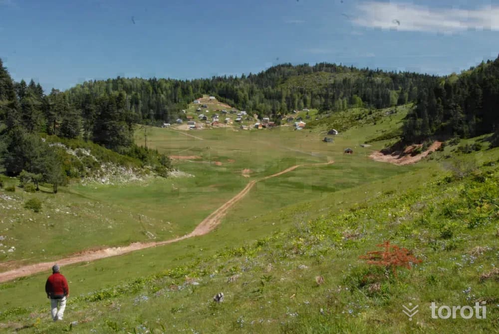
Çiğdem Yaylası, where houses notable for their structure are located, has been listed among Turkey’s ten most beautiful plateaus by a large jury consisting of tourism professionals, travelers and writers. With its wide area covered with grass called topukotu, and its small and gently sloping hills, the plateau has a very pleasant view. Plateau festivals are held on the plateau every year in the second week of July.
45 minutes
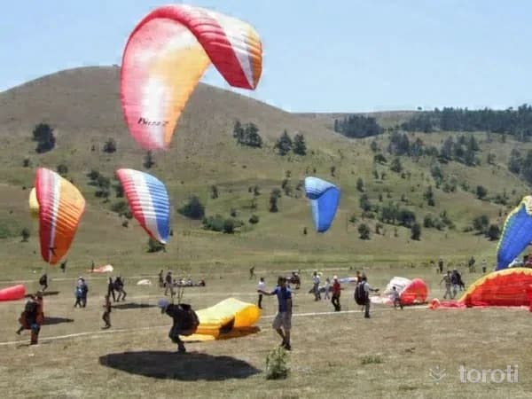
Karagöl Yaylası Yamaç Paraşütü
Sakarya Taraklı Karagöl Yaylası Paragliding Features: It has quite a large area, and its perimeter is approximately 10 km. In this region, the prevailing wind blows from the north-northwest directions. On the same hill, there is also a takeoff area for north-east winds.
45 minutes
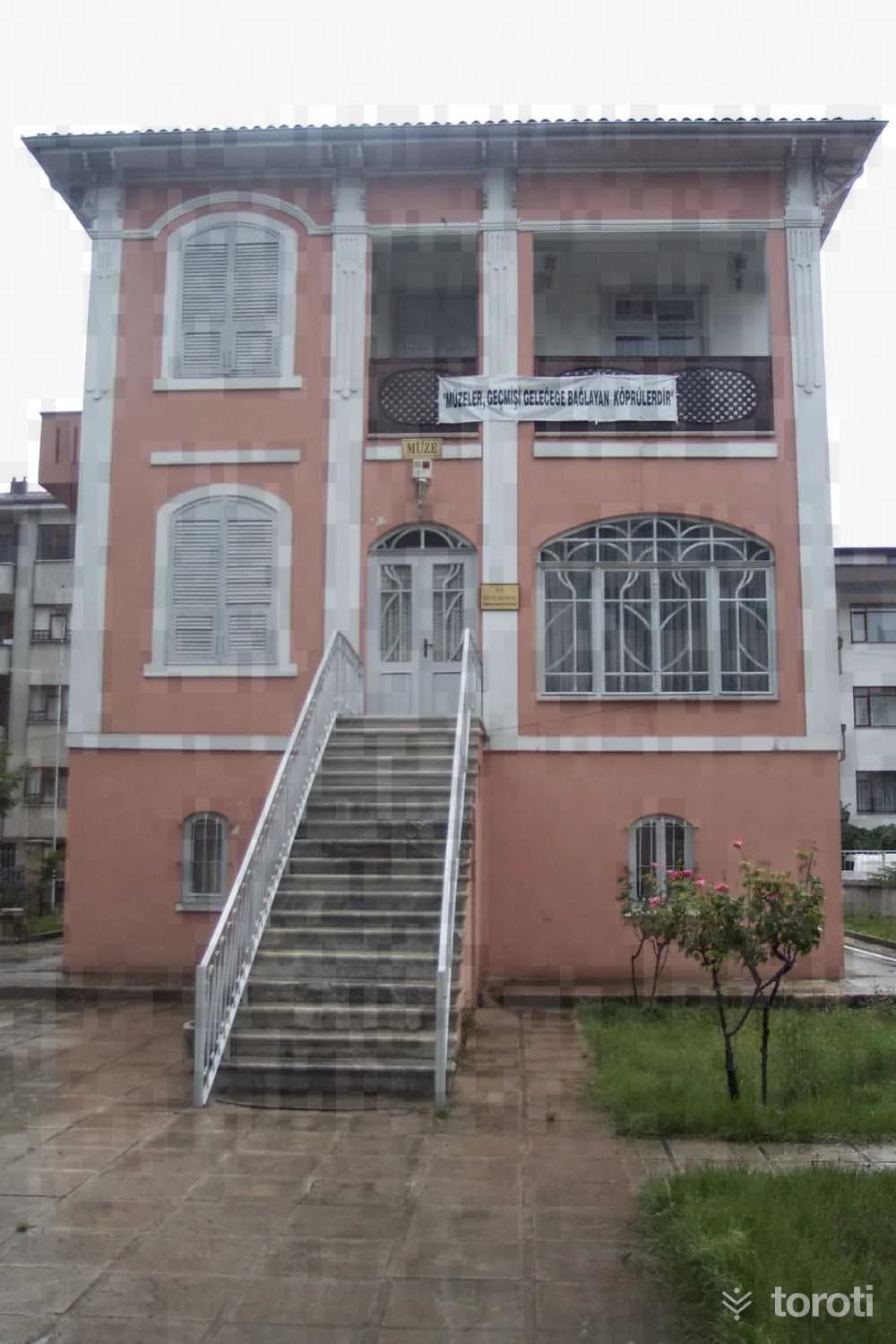
Sakarya Müzesi (Atatürk Evi)
The residence, built as three storeys including the ground floor by Major Baha Bey, the head of the Military Recruitment Office of the period, between 1910-1915, was later purchased by Atatürk’s close friend and Member of Parliament Hasan Cavit Bey. The house where Mustafa Kemal Atatürk met his mother on 17 June 1922 and where they stayed for 3 days was heavily damaged in the earthquake that occurred in 1967.
45 minutes
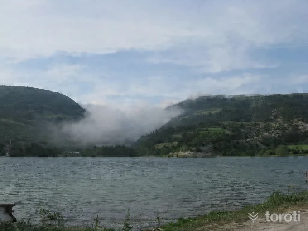
Göynük Çubuk Gölü
It is 11 kilometers north of Göynük district. Çubuk Gölü, on the shore of which lies Çubuk Köyü and which is surrounded by beautiful pine forests, is 15 hectares in size and has an average depth of 13 meters. It is permitted to catch very delicious carp and trout in the lake with a fishing rod.
45 minutes
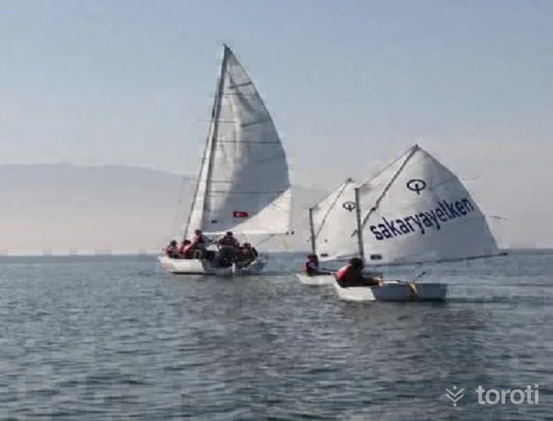
Yelken Sporu
Sailing: It is a sport practiced depending on the wind.
45 minutes
Karasu Plaji
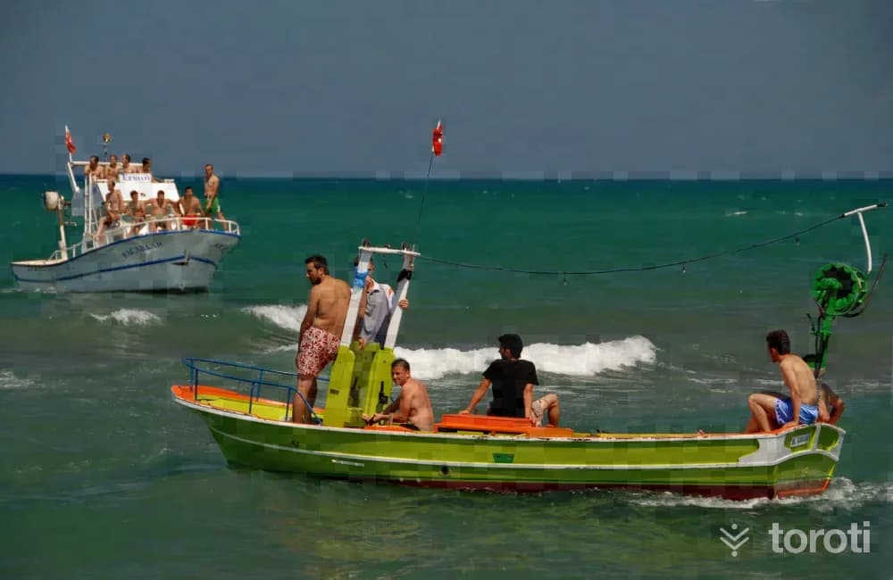
Karasu Beach, located 55 km from Sakarya Center, has the title of Turkey's second longest coastline, and there are also two Blue Flag beaches. The length of the coast is approximately 20 kilometers. It is said among the public that its sands are beneficial for the healing of some rheumatic diseases. Accommodation: Hotel and pension management is especially common during the summer period.
45 minutes
Maden Deresi Ve Şelalesi
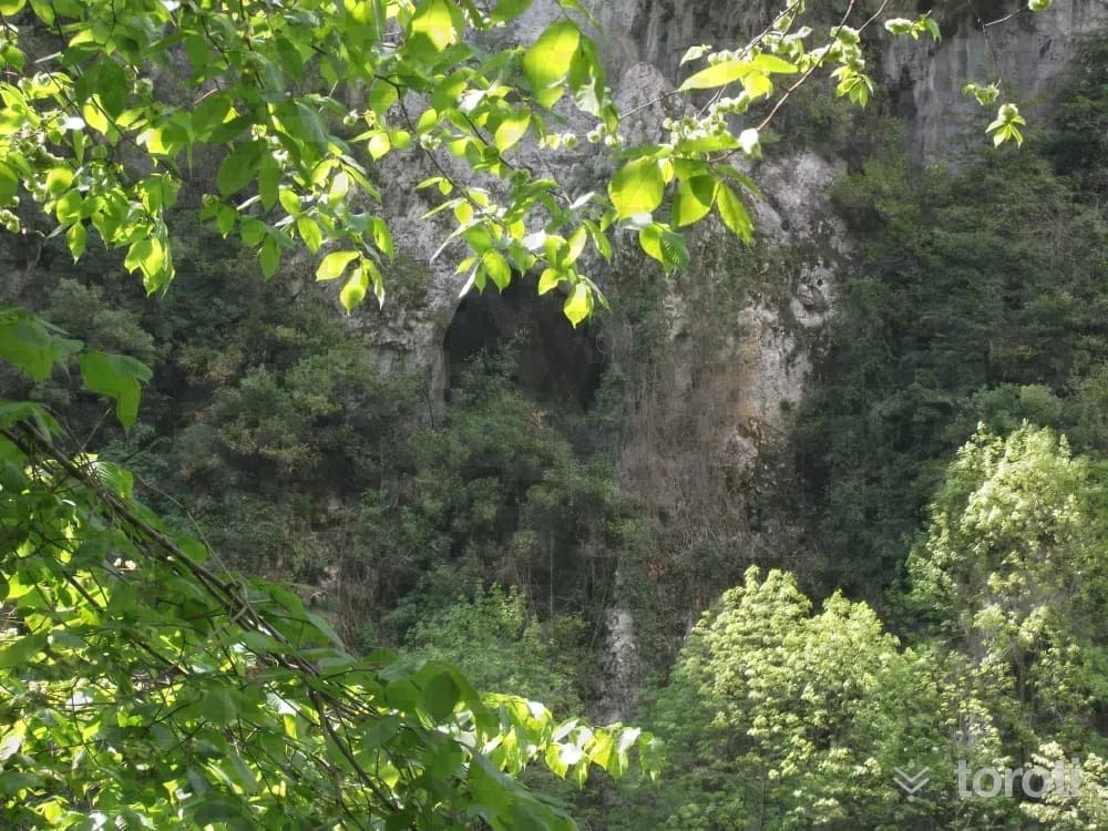
Maden Deresi and Waterfall, located in Sakarya's Kocaali District, is a beautiful alternative for nature lovers. It is an ideal place to listen to the sound of the stream, take walks in a lush green environment, and set up a lovely countryside table. You can also try the picnic areas, trout facilities, and fish restaurants in the area. Entrance to the picnic areas is subject to a fee.
45 minutes
Sultanpinar Yaylası
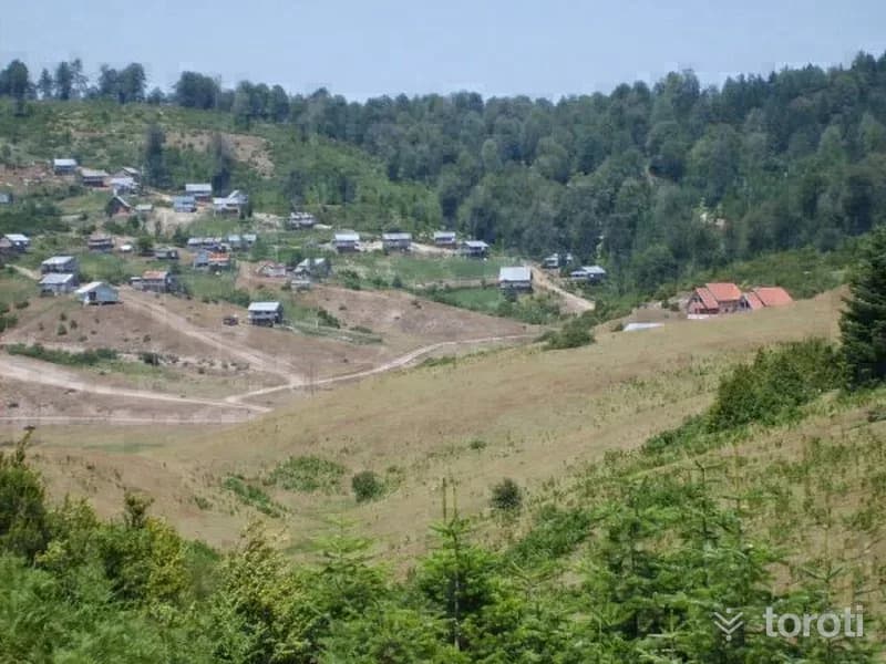
Sultanpınar Plateau is a plateau reached via Adapazarı Akyazı. The plateau is at an altitude of 1200 meters. Together with the many plateaus in its surroundings, it has the appearance of a plateau. There is mixed forest on the lower boundaries of the plateau, and fir forest on the upper boundaries. Sultanpınar Plateau is in a wide and flat area surrounded by forest and offers a very green and peaceful environment.
45 minutes
Seyyid Karaman Baba Türbesi
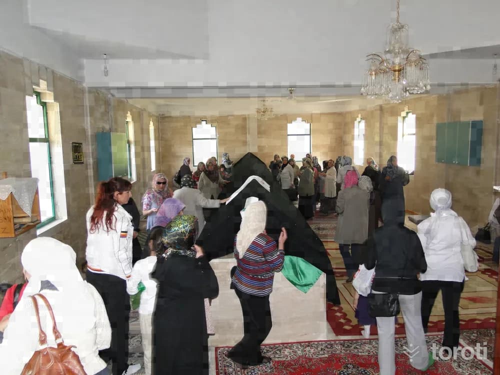
He is among the “Horasan Erenleri” and the “Alp Erenleri.” His real name is “Can Baba.” The nickname Kara was given to him by Hacı Bektaş Veli because of the black clothes he wore and the black cap on his head. In the region, Karaman Baba is also referred to as “Seyyid Karaman Baba” because he is descended from the Prophet’s lineage.
45 minutes
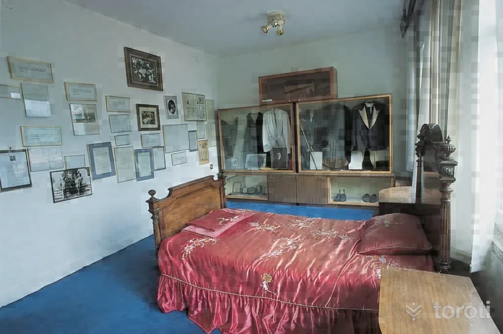
Özel Alifuatpaşa Kuva-i Milliye Müzesi
The building, constructed as a single-storey structure in 1956, was used as the municipal building for a long time. The building, to which a second floor was added in 1983, was repaired with the resources provided by the Sakarya Governorship, converted into a private museum, and opened to visitors on 30 October 1989.
45 minutes
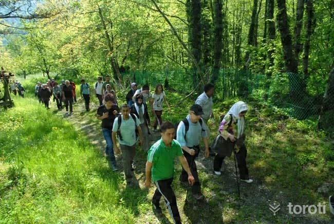
Soğucak Şelalesi
Throughout your walk at Sapanca Soğucak Waterfall, you pass along the path through the forest consisting of chestnut, beech and linden trees. On walks taken in June, the scent of linden accompanies you.
45 minutes
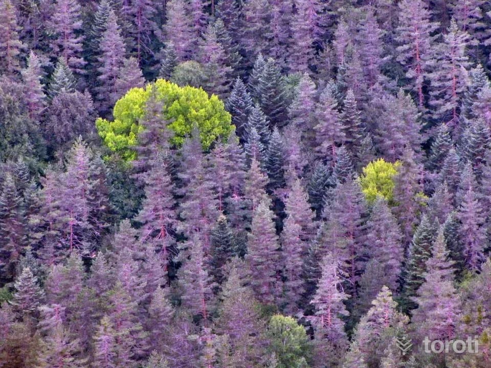
Davlumbaz Yaylası
Davlumbaz Yaylası is located to the west of Sülüklü Göl. With its nature that rivals Sülüklü Göl, the plateau is one of the most beautiful places in Sakarya. This uniquely beautiful plateau, named Davlumbaz by the local people, is one of the places in Sakarya that must be seen.
45 minutes
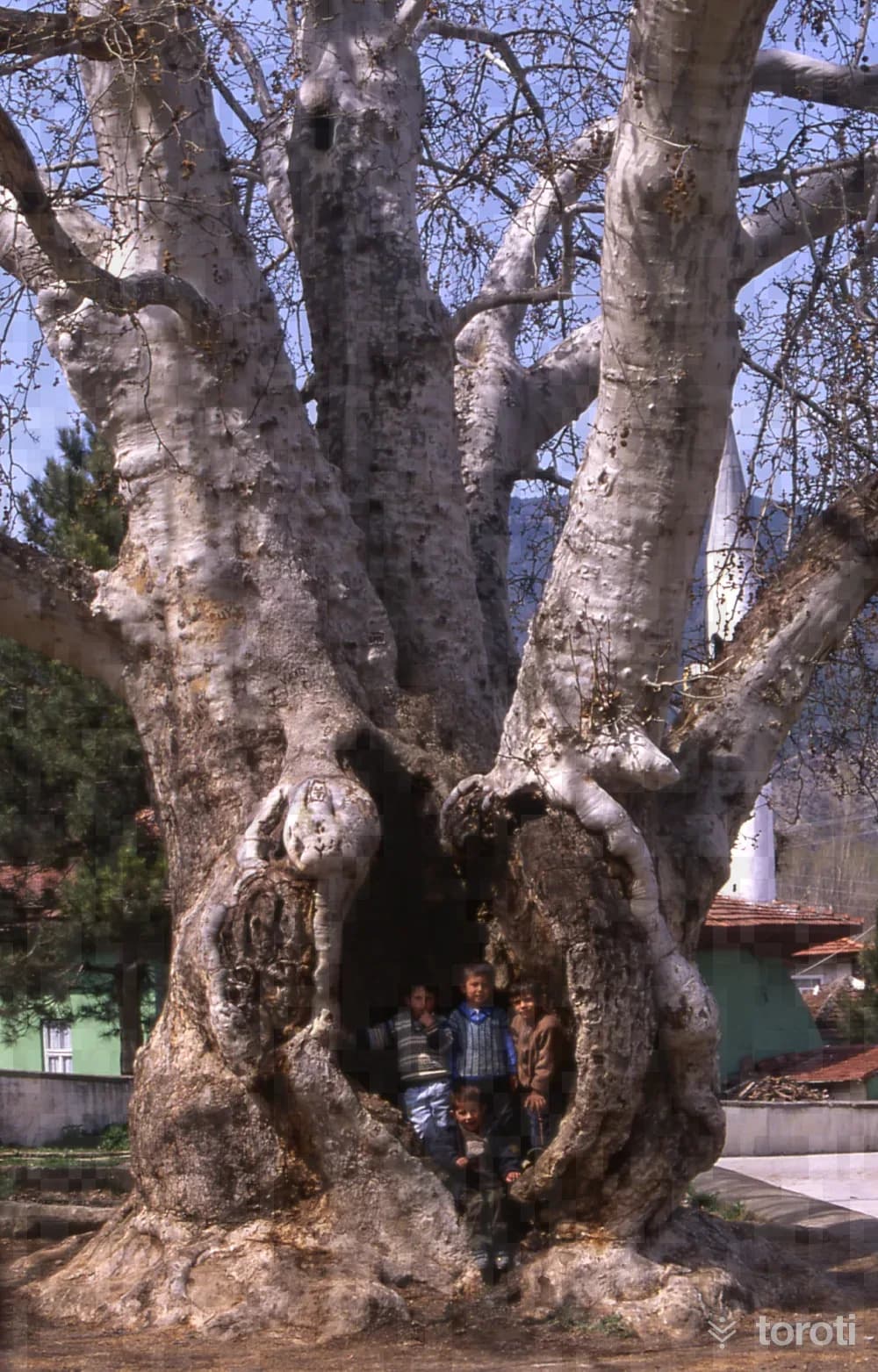
Çinar Ağaci
The 700-year-old plane tree located in Taraklı, famous for its historic Ottoman wooden houses, attracts great interest. Those who see the size of the historic plane tree, which attracts as much attention as the historic houses in terms of district tourism, are astonished. The plane tree, which can only be encircled by 11 people holding hands, is carefully protected by the municipality.
45 minutes
Pamukova Kirca Yaylası
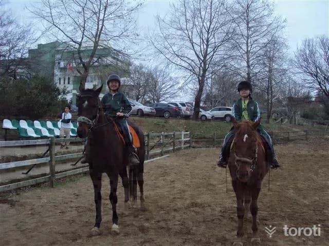
Pamukova Kırca Plateau is located within the borders of Pamukova District of our province. It is 13 km from Karapınar Village of Pamukova and 30 minutes away. Around the plateau are the villages of Menekşe oruç and Menekşe Solak. Festivals are held on the plateau every year in July. Its distance from the city center is 55 km.
45 minutes
Paşalar Kalesi
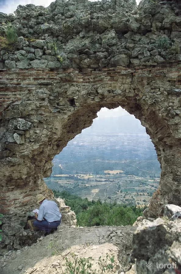
The construction technique of Paşalar Kalesi, which virtually overlooks the Pamukova and Geyve plains stretching from Geyve to Mekece, and the fact that Late Roman period grave steles and architectural pieces used in its fortification walls were employed as spolia, indicate that it is a Byzantine period structure.
45 minutes
Macerapark
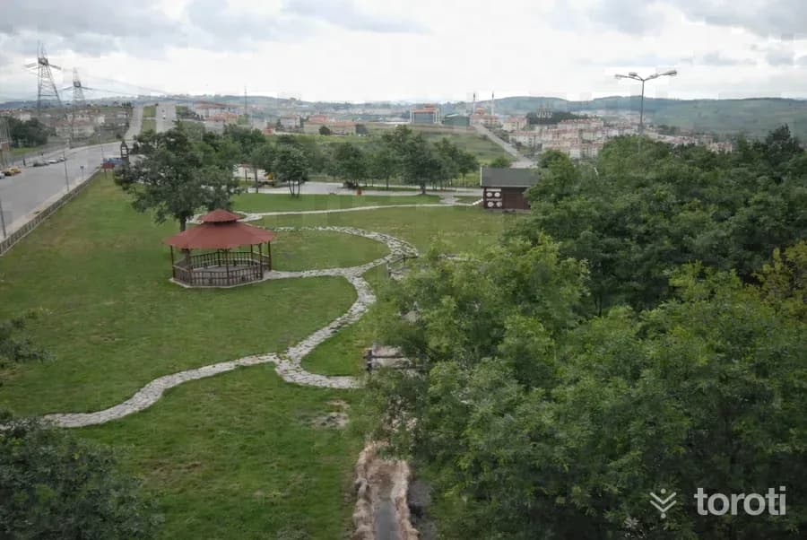
The “Learning by Experience Adventure Park” built in Yenikent City Forest has been opened for service. The courses prepared for children in the 12 - 18 age group include a confidence wall, climbing tower, tree path, multi-walking course, giant ladder and tree steps.
45 minutes
Reisler Okçular Gölü
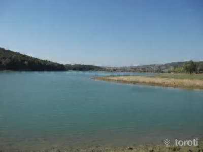
At Reisler Okçular Gölü Recreation and Picnic Area, you can light your barbecue, lie in a hammock, play volleyball, fish, and tour the area around the lake by bicycle. Weddings are also held here. Its surroundings are encircled by pine and oak trees and natural forest vegetation.
45 minutes
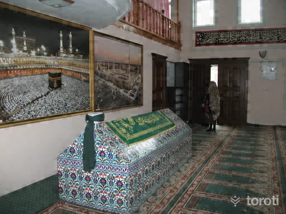
Selman Dede Türbesi
According to the belief regarding the tomb in Uludere, which is visited for various illnesses and for prayers for rain, it is said that the water left there is gone by the next morning. It is also rumored that a white-haired old man worships with this water.
45 minutes
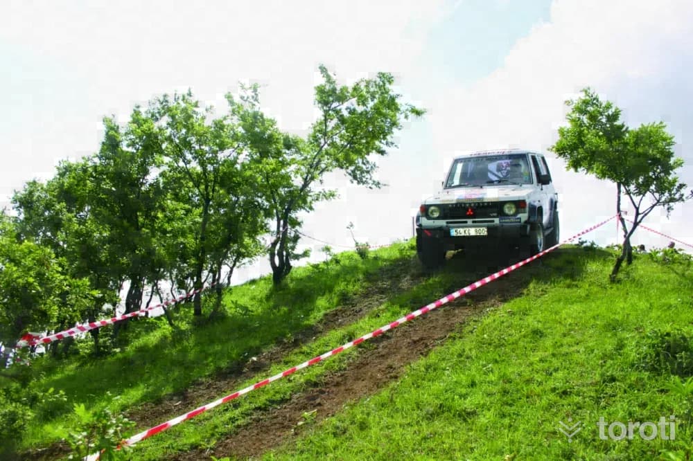
4x4 Serdivan Tepeleri Of-road Ve Motocross Parkuru
Location: Serdivan District, Kırantepe Location Features: It is a track on Serdivan Hill with plenty of natural bends, descents and ascents.
45 minutes
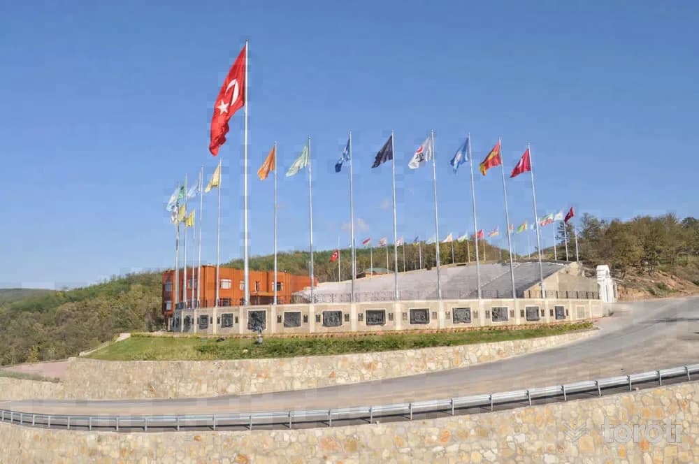
Hendek Bayraktepe
Bayraktepe is a celebration area for important days and nights, and also a picnic area. There is a museum inside where historical artifacts are exhibited. In addition, Hendek Şehitliği is also in this area.
45 minutes