
Places to visit
Things to do in Geyve
9 destinations, each with a description, how long it takes and where it sits on the map.
In short
toroti’s catalogue holds 9 described destinations within Geyve, Sakarya. The themes that come up most: Nature, Local culture, Museum, Culture.
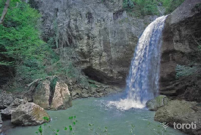
Doğançay Şelalesi
Doğançay Waterfall is 600 metres above sea level. The road leading to the waterfall is also used as a hiking-trekking trail. It ranks among the top places to see in Sakarya. With its unspoiled nature, it offers its visitors a visual feast.
45 minutes
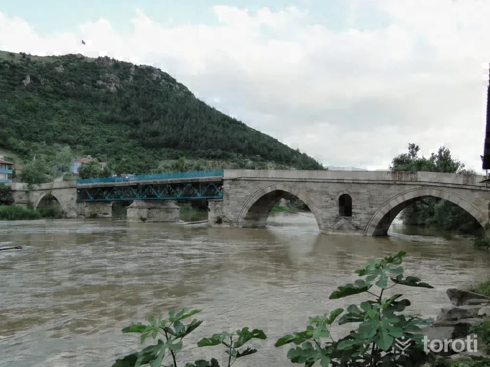
Ii. Bayezid Köprüsü
It is a bridge made of large cut stones over the Sakarya River, on the section connecting Ali Fuat Paşa Township to Geyve District. Its inscription states, “This bridge was commissioned in H. 901 (A.D. 1495) by II. Bayazıd, the son of Fatih, who opened a new era in history.” There are nine small arches on the Ali Fuat Paşa side of the bridge.
45 minutes
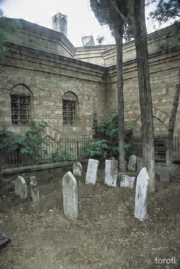
Sinan Bey Zaviyesi / Elvanbey İmareti
The name of the square-planned structure is “Geyve Elvan Bey İmareti” and it is one of the charitable foundations commissioned in 1450/1451 by Elvan Bey, the son of Çeşnigirbaşı (Aşçıbaşı) Paşacık Ağa, who was born to Mutahhara Hatun, the daughter of Sultan Veled, the son of Mevlana Celalettin Rumi (his father Sinan Bey was in the period of Fatih Sultan Mehmed). In some sources, however, this structure is referred to as “Geyve Sinan Bey Zaviyesi”.
45 minutes
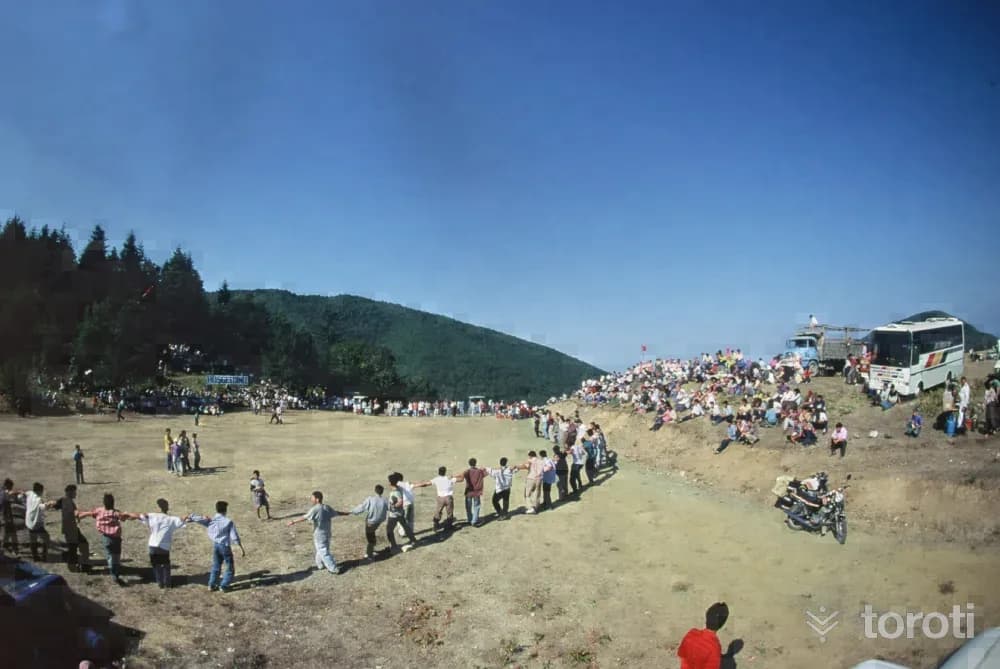
Kirca Yaylası
In the plateau, in the spring and summer months, there are abundant mountain violets and boxwood trees. While proceeding from Kırca Yaylası (855 altitude) toward Ali Fuat Paşa Kaymakamsuyu Cave along the stream bed, very valuable maples can be seen. When the main four-way junction is reached, after 600 meters Kirca Yaylası appears before us with its wide area. It is a route consisting of untouched areas within greenery, and there is also the possibility of passing to Sapanca Soğucak Yaylası.
45 minutes
Kirpiyan Yaylası
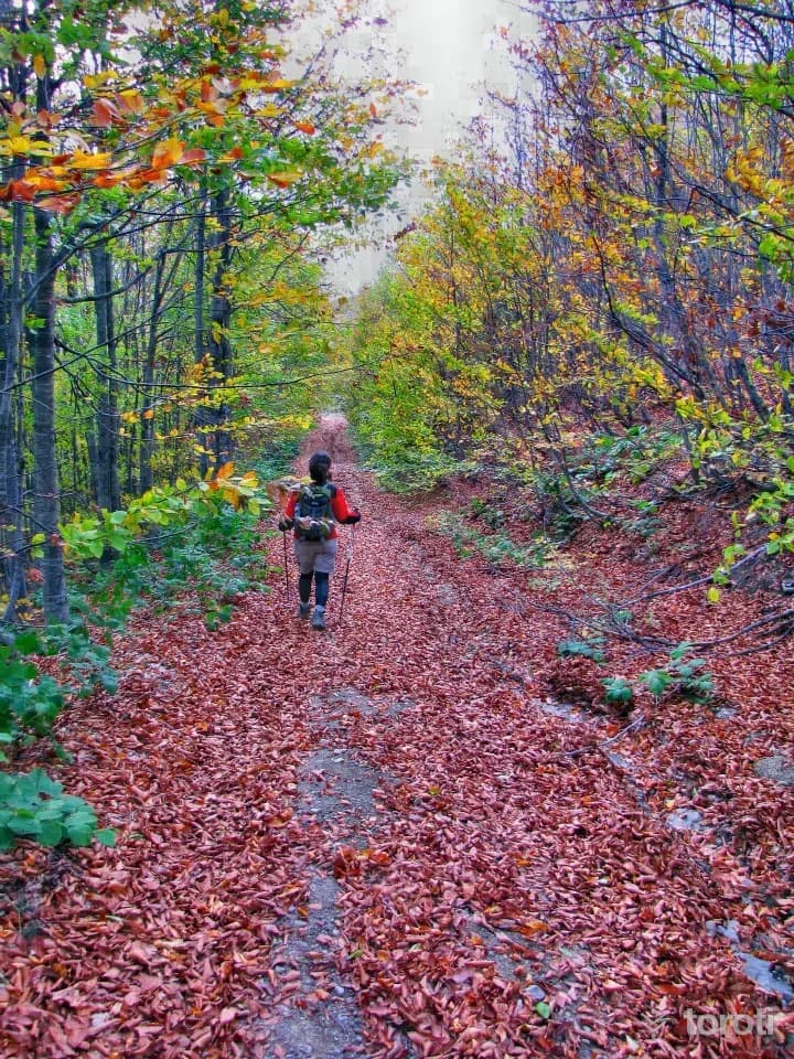
Kirpiyan Yaylası is among the places frequently visited by nature lovers in summer and winter with its magnificent natural vegetation. The plateau is one of the important routes preferred by nature walkers. In the summer months, animal husbandry is carried out on the plateau by the local people. In Kirpiyan Yaylası, difficulties are experienced in transportation in the winter months due to heavy snow. It is one of the most beautiful places you can choose for a picnic with your family in Sakarya.
45 minutes
Sultanpinar Yaylası
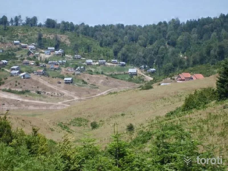
Sultanpınar Plateau is a plateau reached via Adapazarı Akyazı. The plateau is at an altitude of 1200 meters. Together with the many plateaus in its surroundings, it has the appearance of a plateau. There is mixed forest on the lower boundaries of the plateau, and fir forest on the upper boundaries. Sultanpınar Plateau is in a wide and flat area surrounded by forest and offers a very green and peaceful environment.
45 minutes
Özel Alifuatpaşa Kuva-i Milliye Müzesi
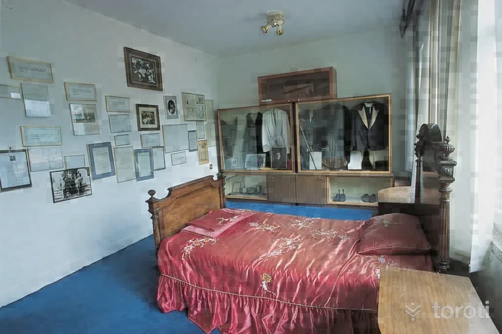
The building, constructed as a single-storey structure in 1956, was used as the municipal building for a long time. The building, to which a second floor was added in 1983, was repaired with the resources provided by the Sakarya Governorship, converted into a private museum, and opened to visitors on 30 October 1989.
45 minutes
Geyve-alifuatpaşa-hocalar Doğa Yürüyüşü
Geyve Ali Fuat Paşa-Hocalar: Length: 3,5 km. Difficulty Level: 2. Features: The walk begins by entering the path with sparse trees along the edge of the Kocadere bed. Gradually ascending, it continues from the Doğu Kaya ridge along the path covered with pine trees and reaches the Soğuk Çeşme area. When the old church ruins, where the main break of the route is given, are reached, the altitude is 350.
45 minutes
Geyve-setçe-belpinar-karagöl Yaylası
Length: 15 km. Difficulty Level: 3. Features: There are pine and oak trees along the walking route. There are abundant rhododendrons along the banks of Bıçkı stream. As the walk continuing from the stream bed rises at the 5th km toward the southeast along a forest path toward Belpınar village (725 r.k.), the group of trees around us turns into beech, fir and pine. There are hazelnut fields.
45 minutes