
Destination
Seyhan Barajı
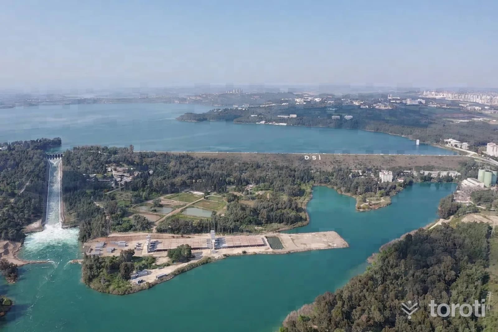
Seyhan Dam is located 15 km above Adana and was built to prevent flooding caused by the Seyhan River.
Seyhan Barajı and 6 places around it
Free · no sign-up needed
Highlights
- Nature
Good for
- Hiking
- Viewpoint
Suggested visit:30 minutes
It is an earth-fill type dam built 15 km upstream of old Adana in order to protect 850,000 dönüm of land and Adana from flooding that could be caused by the Seyhan River. It was put into service in 1956. It was completed in 974 days.
At a glance
- Type
- dam, hydroelectric power station
- Built / founded
- 1956
- On the water body
- Seyhan River
- Height
- 53.2 m
- Length
- 1568 m
Last updated: 21 October 2026
Location and surroundings
Seyhan Barajı sits within Çukurova, Adana. The toroti catalogue holds 51 described stops across Adana, 1 of them in Çukurova.
The nearest stop is Akça Mescit, 4.5 km to the south. Another 6 catalogued points lie within a 30 km radius.
The Ankara – Adana route passes 1.8 km away, so this works as a stop along the drive.
See Seyhan Barajı and its surroundings in one plan
- Order your stops on the map and spread them across days
- See driving and visiting time at a glance
- Get places around it suggested automatically
- Free — no sign-up needed to start
Other places nearby
Routes that pass close by
Frequently asked
- What is Seyhan Barajı?
- Seyhan Dam is located 15 km above Adana and was built to prevent flooding caused by the Seyhan River.
- Where is Seyhan Barajı?
- Seyhan Barajı is in Çukurova, Adana.
- How long does it take to visit Seyhan Barajı?
- The suggested visit time for Seyhan Barajı is about 30 minutes.
- What else is there to see near Seyhan Barajı?
- toroti’s catalogue holds other destinations within 30 km of Seyhan Barajı; the closest are Akça Mescit, Adana Müzesi, Adana Arkeoloji Müzesi.
- Is Seyhan Barajı on the way anywhere, and which route?
- Seyhan Barajı lies 1.8 km from the Ankara – Adana route, close enough to add to that drive with a short detour.