
Destination
Çamaş Kanyonu
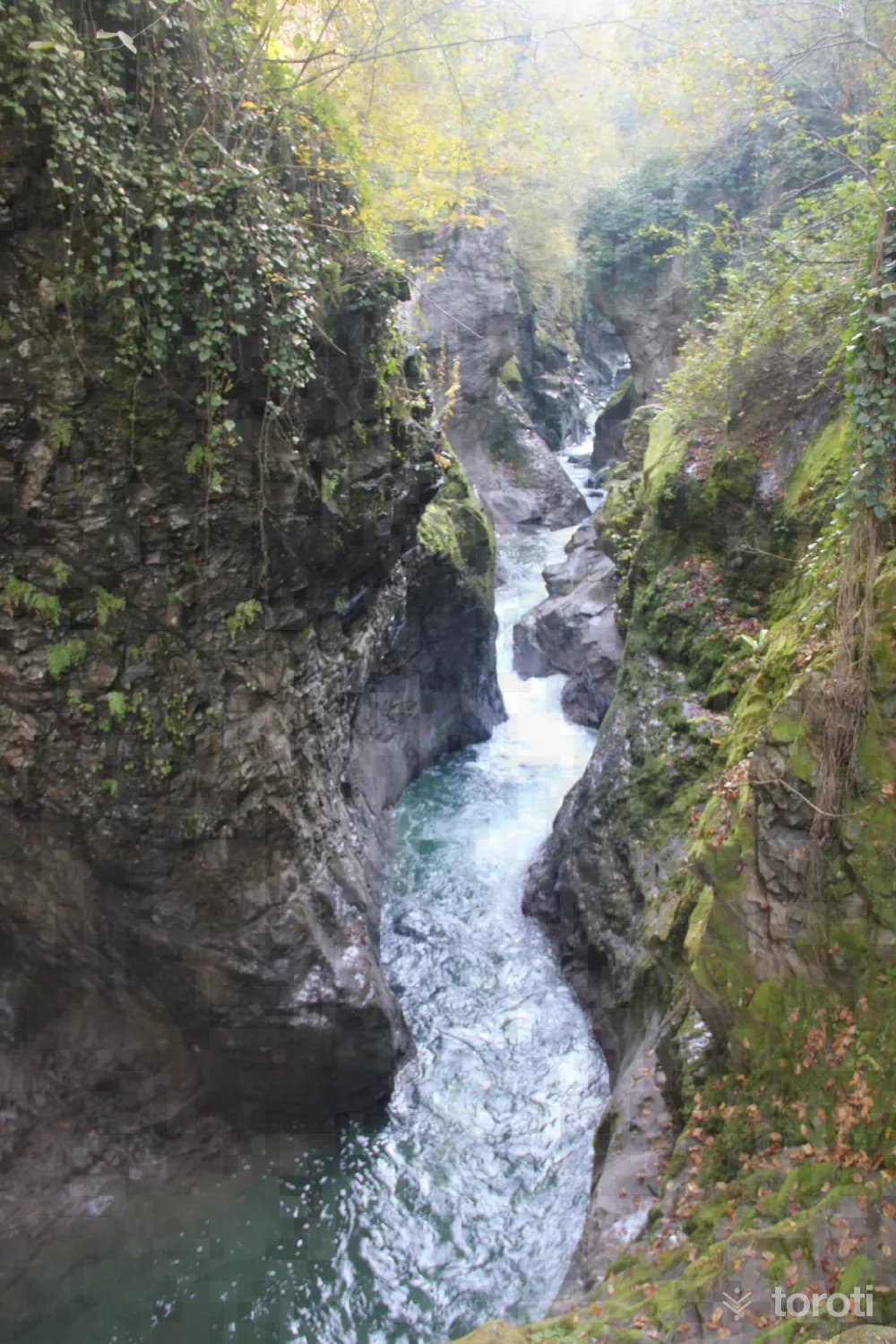
Çamaş Canyon is within the borders of Budak Village, 5 kilometers from the Çamaş district center.
Çamaş Kanyonu and 6 places around it
Free · no sign-up needed
Highlights
- Local culture
Suggested visit:45 minutes
Last updated: 19 October 2026
Location and surroundings
Çamaş Kanyonu sits within Çamaş, Ordu. The toroti catalogue holds 91 described stops across Ordu, 4 of them in Çamaş.
The nearest stop is Sucuali Kaya Mezarı, 2.5 km to the southwest. Another 6 catalogued points lie within a 30 km radius.
The Ankara – Trabzon route passes 11 km away, so this works as a stop along the drive.
See Çamaş Kanyonu and its surroundings in one plan
- Order your stops on the map and spread them across days
- See driving and visiting time at a glance
- Get places around it suggested automatically
- Free — no sign-up needed to start
Other places nearby
Routes that pass close by
Frequently asked
- What is Çamaş Kanyonu?
- Çamaş Canyon is within the borders of Budak Village, 5 kilometers from the Çamaş district center.
- Where is Çamaş Kanyonu?
- Çamaş Kanyonu is in Çamaş, Ordu.
- How long does it take to visit Çamaş Kanyonu?
- The suggested visit time for Çamaş Kanyonu is about 45 minutes.
- What else is there to see near Çamaş Kanyonu?
- toroti’s catalogue holds other destinations within 30 km of Çamaş Kanyonu; the closest are Sucuali Kaya Mezarı, Gelin Kayası Mesire Yeri, Kabakdağ Köyü.
- Is Çamaş Kanyonu on the way anywhere, and which route?
- Çamaş Kanyonu lies 11 km from the Ankara – Trabzon route, close enough to add to that drive with a short detour.