
Places to visit
Things to do in Gümüşhane
30 destinations, each with a description, how long it takes and where it sits on the map.
In short
toroti’s catalogue holds 30 described destinations within Gümüşhane. The themes that come up most: Local culture, Nature, History, Faith heritage.
Districts of Gümüşhane
Erikbeli Kiş Ve Kayak Sporları Turizm Merkezi
ERİKBELİ WINTER AND SKI SPORTS TOURISM CENTER: Erikbeli Winter and Ski Sports Tourism Center is located within the borders of Kürtün’s Özkürtün Town, at the end of the Süme Stream Valley, and at an altitude of 1800. It is a settlement known to have existed since the 1500s, and in periods when access was provided on foot, it was used by people as a place of accommodation.
45 minutes
Tekke Kuzağil Mesire Yeri (merkez)
TEKKE KUZAĞI RECREATION AREA Location: Tekke Beldesi Type: B
45 minutes
Soğuk Su Mesire(torul)
SOĞUK SU Recreation Area Location: Çayırlar The area and its surroundings, with their natural beauty and rich variety of plants and animals, almost enchant people, while its air, with an air-conditioning effect, offers people a healthy environment. There are pioneering facilities in the area and its surroundings.
45 minutes
Karşiyaka Mesire Yeri
KARŞIYAKA RECREATION AREA: Karşıyaka Recreation Area (Center) Location: Central District, Karşıyaka Neighborhood announcement date: 2006 Type: B
45 minutes
Zigana Yaylası
Zigana Plateau, reached by a 3,5 km. stabilized road after passing through the Zigana Tunnel located at the 50. km. of the Gümüşhane–Trabzon road, is at an altitude of 2032 m. Zigana has electricity, drinking water, an 800 m. teleski ski training facility, and a radio-telephone communication system, and a hotel, restaurant, and country coffeehouse are in operation.
60 minutes
Erikbeli Yaylası
It is known that Erikbeli Yaylası, located within the borders of Kürtün Municipality, has been used as a place of accommodation since the 1500s. Because it is very suitable for activities such as mountaineering, nature walks, and equestrian sports, it was declared a Tourism Center by the Ministry of Culture and Tourism in 1991.
60 minutes
Zigana Kayak Merkezi
Zigana ski center is 60 km from Trabzon and 40 km from Gümüşhane. The ski area is at 1900 - 2500 meters. There are 2 chairlifts. Their lengths are 1000 and 600 meters. The ski season starts in December and can continue until the end of March. The snow thickness is around 100-150 cm.
60 minutes
Sarıçiçek Evleri Yaylası
Its name during the Pontus period was İşkilas. In the 90s, at the request of the local administration and upon the villagers' demand, the village was given the name Sarıçiçek, inspired by the yellow bud flowers and daisies of the same color that had become the symbol of the village.
60 minutes
Tomara Şelalesi
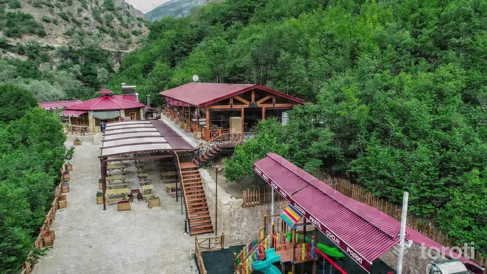
Tomara Şelalesi, spread over an area of 70 decares and at an altitude of 1380 metres, was designated as a Nature Park in 2011. Fed by underground waters, the waterfall cascades vigorously and magnificently from heights of approximately 25 metres and 15 metres, then continues its journey winding into a narrow and deep valley.
45 minutes
Sariçiçek Köy Odaları
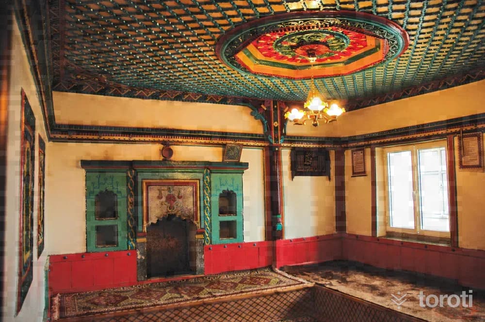
The decorations of the rooms, which are located in the village center about 40-50 meters apart from each other and whose dimensions are also very similar, preserve the characteristics of the day they were first built. The entrances of both rooms, which are surrounded by buildings, are on the west. Later, a simple small entrance space was added in front of each of them.
45 minutes
Krom Vadisi
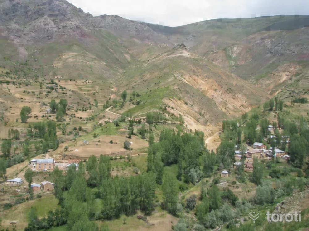
Its being situated on an important transit region since ancient times and lying between the important centers of the period such as İmera and İstavrit has made Krom Vadisi a constant center of attraction. It is said that Krom Vadisi hosted thousands of people centuries ago because it was also rich in mineral resources. There are 15 registered churches and chapels in the region.
45 minutes
Santa Harabeleri
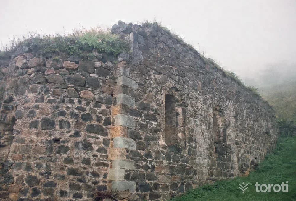
Santa Ruins is located approximately 82 kilometers from the city center of Gümüşhane, within the borders of Dumanlı Village of Yağmurdere Township. Santa was established on three separate slopes divided from each other by the valleys where the Santa Yanbolu Stream originates. The Santa Region was conquered during the period of Fatih Sultan Mehmet - between 1461-1476 - together with the whole of Trabzon and the Eastern Black Sea region, and was incorporated into the lands of the Ottoman Empire.
45 minutes
Zigana Dağı Çiğ Şehitleri Anıti
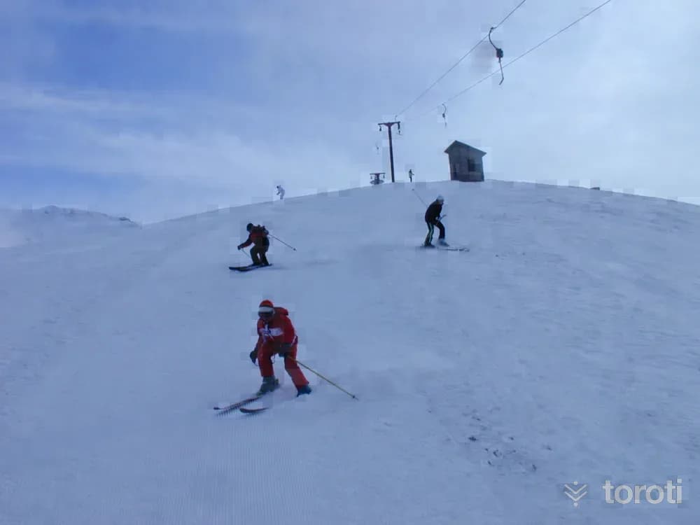
ZIGANA MOUNTAIN AVALANCHE MARTYRS MEMORIAL: About the martyrs… On Sunday, 25 January 2009, at 10.00 in the morning, seventeen beautiful people joyfully began walking on the 2.100-meter-high summit of Zigana. They were men and women. Some were in their twenties, some in their sixties. All were well educated and all were enlightened. Most were mountaineers. Some had come from Maraş.
45 minutes
Gümüşhane Konaklari
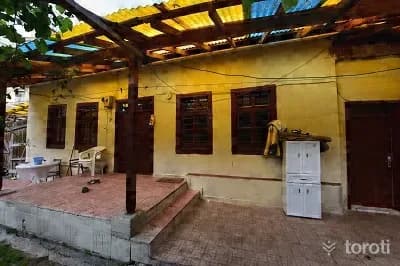
Gümüşhane Mansions are one of the most interesting elements of Gümüşhane’s original architecture. Old mansions (examples of civil architecture) are among our artistic values that have an important place in our national culture. In the artistic structure of Gümüşhane Mansions, which are a part of Turkish residential architecture, the effects of social conditions such as belief, customs, traditions and culture can be seen as much as those of natural conditions.
45 minutes
İmera Manastiri
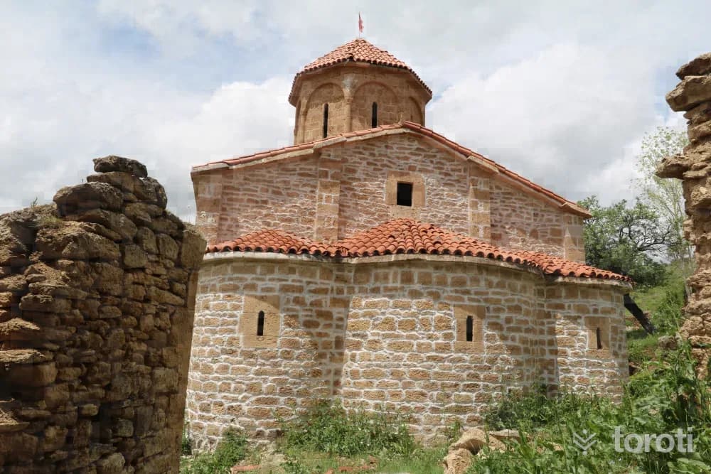
Gümüşhane, a mosaic of religions that has been home to various peoples with its mission throughout history, has been the cradle of many civilizations. There are 80 monasteries and churches and 24 chapels in Gümüşhane. İmera Monastery is also among the important monasteries of the period. The monastery is within the borders of Olucak Village in the central district and is 38 km from the city center. The structure, which is an Archaeological Site Area, is reached via the Karaca Cave junction in İkisu Village, in the direction of Yağlıdere Village.
45 minutes
Sultan Süleyman Han Camii
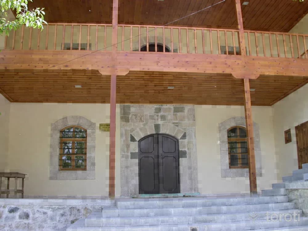
The common characteristic of Gümüşhane mosques is that they were built in the style of classical Ottoman architecture. Mosques, which are the most important element of the Islamic urban silhouette, unlike today, historically had many social and educational functions in addition to their role as places of worship. In Gümüşhane, there are a total of 27 registered mosques, primarily in Süleymaniye Mahallesi^nde (old Gümüşhane), including 2 Sultan Süleyman Han Camii and Küçük Camii.
45 minutes
Kayak
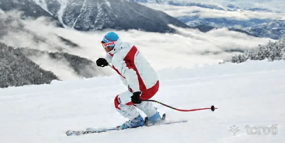
SKIING: In Gümüşhane, where the winter season lasts long, skiing was a pastime and entertainment activity, but with the emergence of athletes at the national team level in the 1940s, skiing became a priority sport in our province. In competitions held both at home and abroad, as well as in the Olympic Games, skiers from Gümüşhane achieve great successes on behalf of our province and our country, both individually and as a team.
45 minutes
Satala / Sadak Antik Kenti
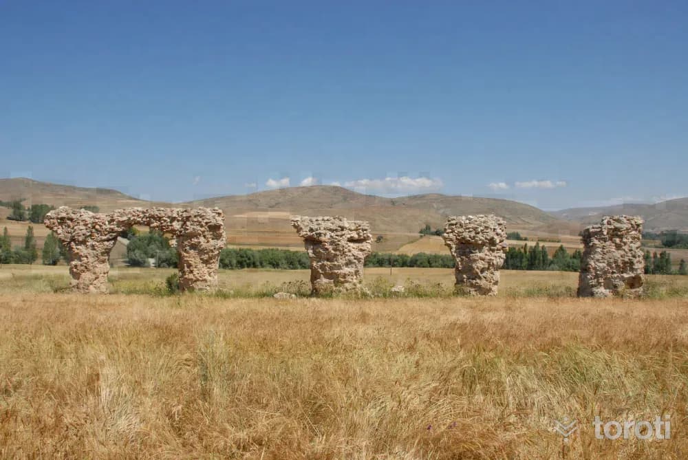
The ancient city, established on the eastern foothills of the Meşe İçi Mountains in Sadak Village, located 26 kilometres southeast of Kelkit District, is also a garrison city founded to protect the Euphrates border. Finds bearing the characteristics of the Roman Period are almost non-existent. Those visible on the surface are a few grave steles, a bath, a water arch, and castle walls. However, the present settlement area has been placed over a large part of the main city.
45 minutes
Aydinlar Kilisesi
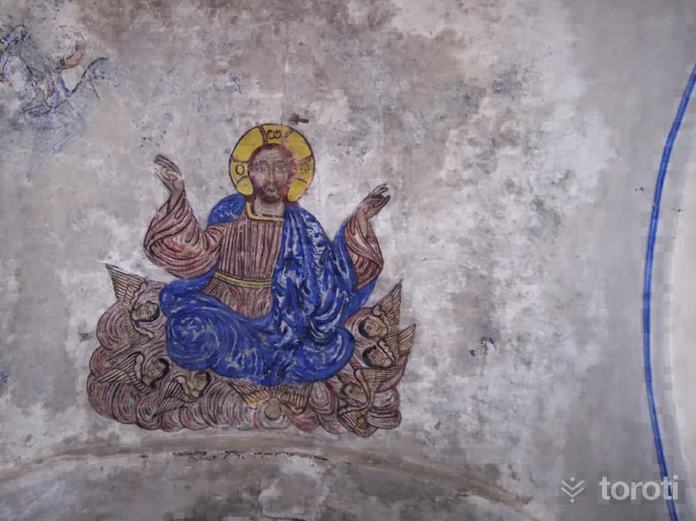
Aydınlar Church is located in Aydınlar Neighborhood of Atalar Village, Torul, and is 27 kilometers from the central district. Its walls were built of neatly cut stone and rubble stone. The church, whose upper part was constructed with a gable roof, has survived to the present day in a sound condition.
45 minutes
Çakilgöl Turizm Merkezi/merkez İlçe
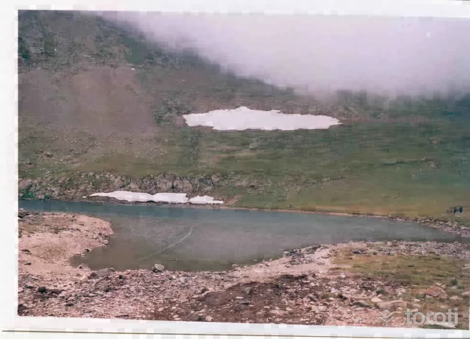
ÇAKILGÖL TOURISM CENTER: Çakılgöl is a glacial lake at an altitude of 2500 m on the Karahava plateau in Çorak Village of the Central District. The lake and the plateaus around it can be reached via the Zigana Winter and Ski Sports Tourism Center, or from the Central District by following the Gümüşhane-Bayburt main tour route through Arzular Town, Sarıçiçek, the Yağmurdere group road, and also via the Taşköprü plateau.
45 minutes
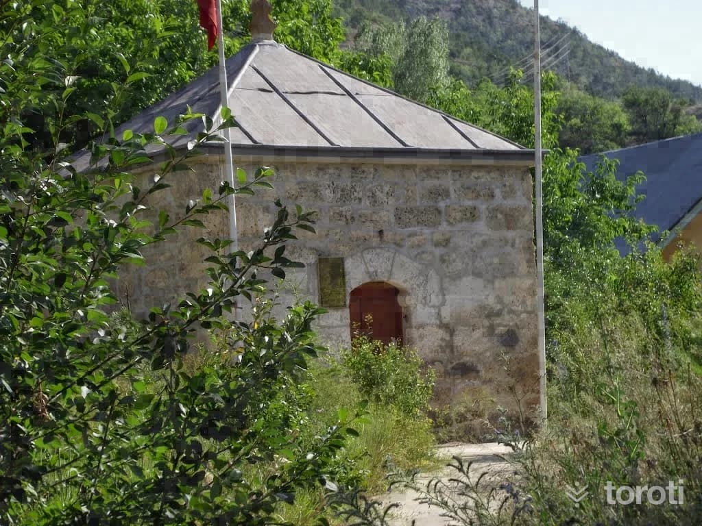
Pir Ahmet Baba Türbesi
It is understood from the inscription of the tomb, located in Pir Ahmed Village on the Gümüşhane-Erzurum highway, that it was built in 1550. The tomb, belonging to Pir Ahmed, was built of stone with a square plan. The tomb has two storeys, and there is a mummification chamber on the lower floor. On the upper floor is the Sheikh's sarcophagus.
20 minutes
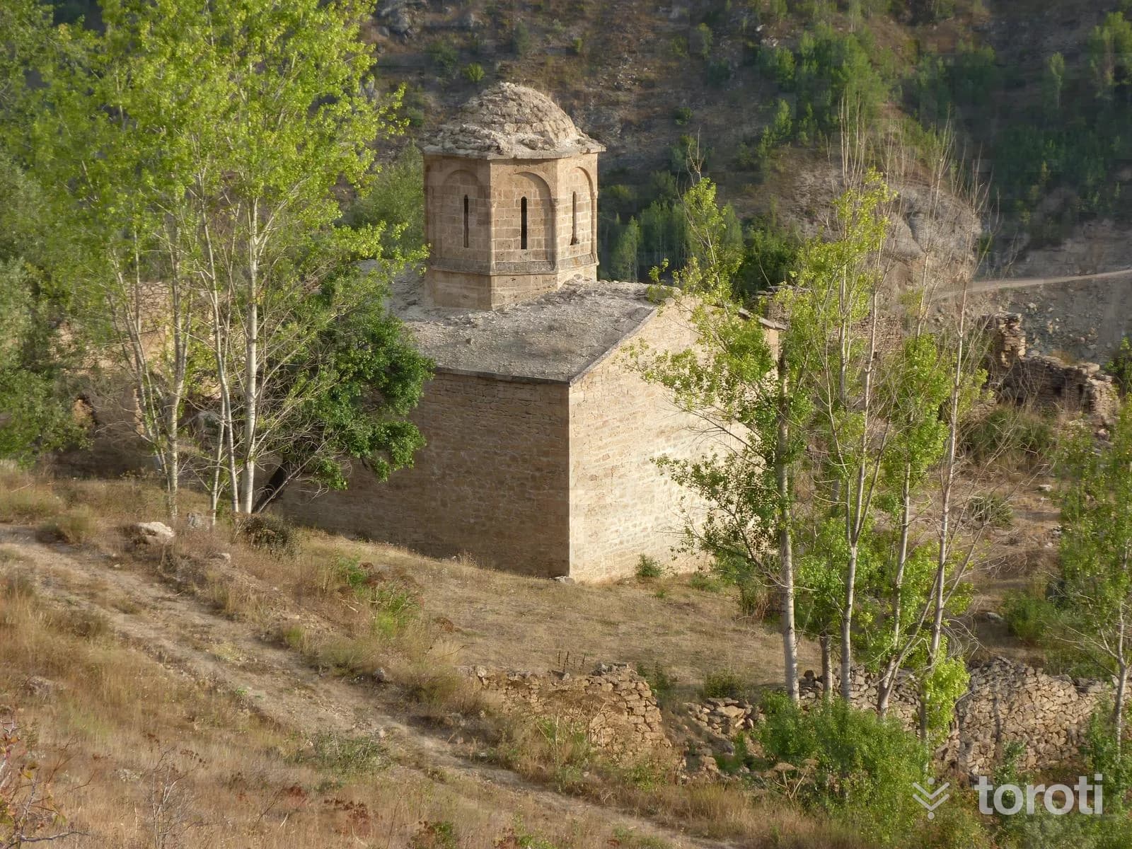
Alikinos Kilisesi
Kromni (Krom), an archaeological site, is 39 km from Gümüşhane city center and is located within the boundaries of Yağlıdere Village.
30 minutes
Yukarı Kulaca Mesire Yeri(Şiran)
YUKARI KULACA RECREATION AREA(ŞİRAN) Location: Yukarıkulaca Village Date of designation: 2005 Area: 50 Ha Type: B
45 minutes
4x4 Safari
4X4 SAFARI: There are more than 250 km of natural 4 X 4 safari routes in Gümüşhane. In Gümüşhane, which is the locomotive of plateau tourism in the Black Sea Region, the plateaus are connected to one another like the links of a chain.
45 minutes
Kabaktepe Şehitliği
After the First World War, the army under the command of Hacı Hamdi Paşa, who was responsible for the Trabzon region at that time, was assigned with the aim of raiding the Russian unit in Kabaktepe, which was administered from the Torul monastery, and a small raiding unit consisting of one Captain (Tosyalı Mehmet Yüzbaşı) and six privates volunteered from within the unit holding the Giresun and Trabzon line, carried out the raid, and the Russians, thinking that the Turkish Army had launched an attack, began to retreat and flee.
30 minutes
Kürtün Baraji Su Sporları
WATER SPORTS: The Kürtün and Torul dams, where water is retained within the Harşit Valley, are in a location suitable for water sports in the region. The sporting water sports activities held at Kürtün Dam are integrated with the highland festivals held in the region in July.
45 minutes
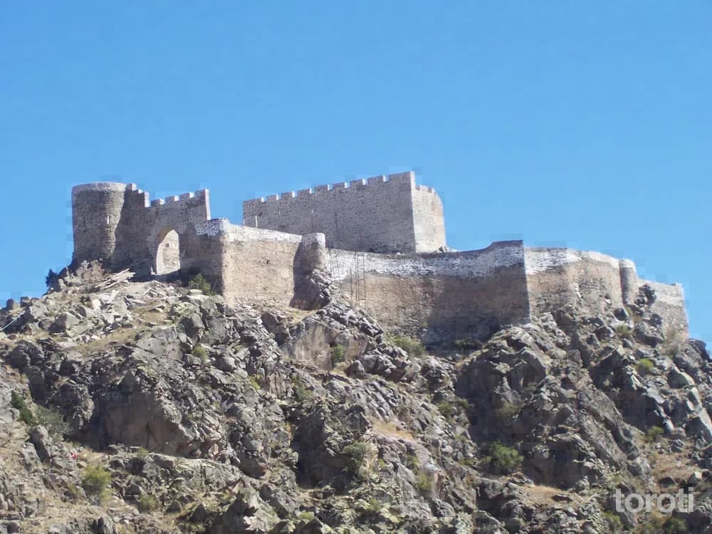
Kov Kalesi
There are 16 historical castles in Gümüşhane. The fact that many of the castles were positioned over settlement centers and passes is another proof of how important the region and the trade route were in the past. Among these castles, Kov Kalesi and Keçi Kalesi were restored in 2008. KOV (Esenyurt) VILLAGE CASTLE: The castle is within the borders of Esenyurt (Kov) Village in the Central District.
45 minutes
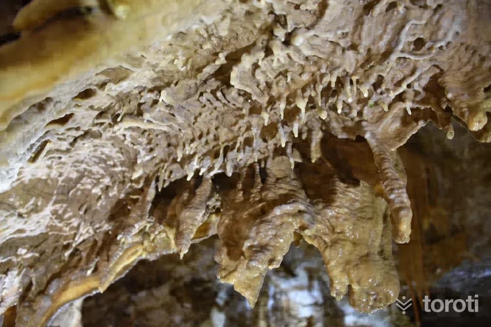
Karaca Mağarası
Karaca Mağarası, the hidden crown of Gümüşhane, the picture exhibition of the underground world, the mysterious world of caving, is located within the borders of Cebeli Köyü of Torul. The cave is 17 kilometres from the city centre. Access to the cave is provided by a double-lane asphalt road that tour buses can easily travel on.
45 minutes
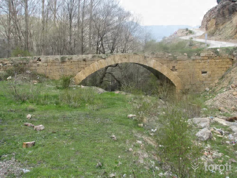
Süleymaniye Mahallesi / Eski Gümüşhane
Süleymaniye Mahallesi (Old Gümüşhane), located to the southwest of where the current city center is situated, is 4 kilometers from the provincial center. It has never lost its importance throughout history due to the richness of its silver and gold mines and its location on the historic Silk Road. Assyrians, Urartians, Medes, the Persian Kingdom, Macedonians, the Kingdom of Pontus, the Roman Empire, the Umayyads, the Seljuks and the Ottoman Empire ruled in the region.
45 minutes
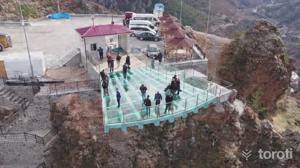
Torul Kalesi Cam Seyir Terası
The glass observation terrace, built on the summit at a close distance to Torul Kalesi, which is known to have been built in the Middle Ages and to have been incorporated into Ottoman lands during the reign of Fatih Sultan Mehmet, and which served defense and surveillance purposes, is, with its height of 240 meters above the ground, both one of the highest among its examples in Türkiye and one of the nearest and most accessible glass terraces with its distance of 2 kilometers to the highway. In Torul District, the 240-meter glass observation terrace was completed and opened to visitors.
45 minutes