Destination
Mihli Çayi
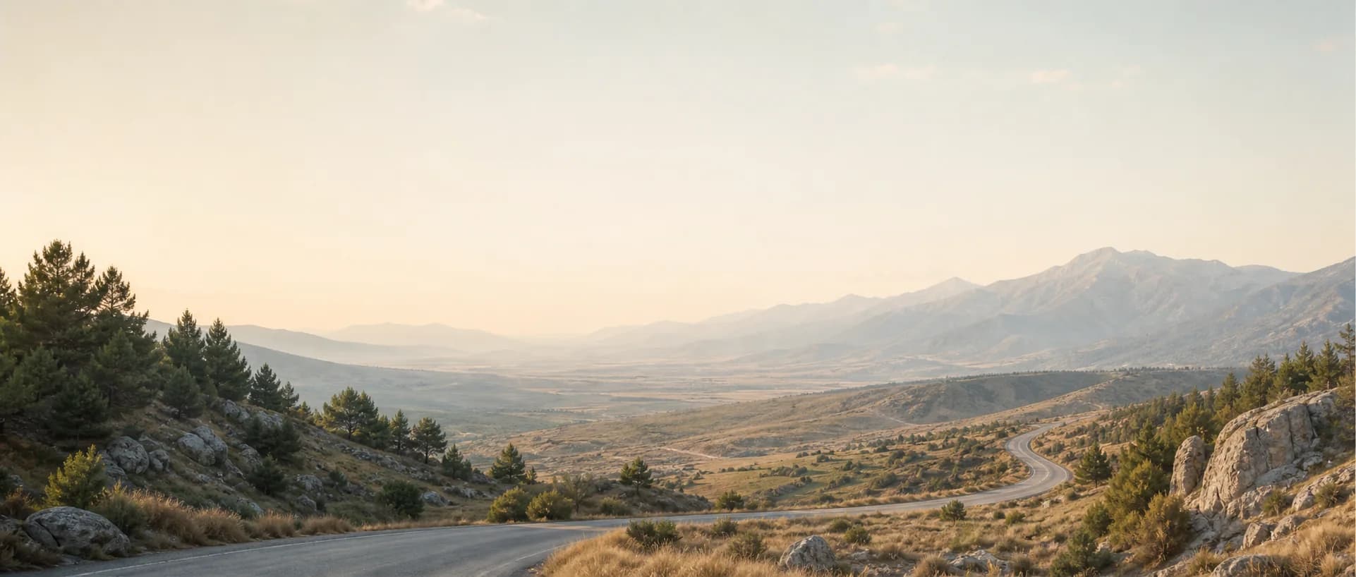
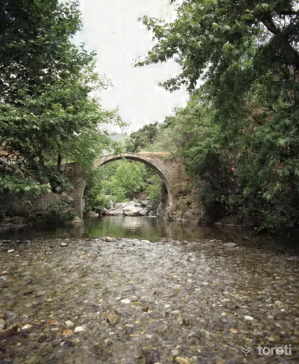
It is on the Balıkesir-Çanakkale provincial border. In the Altınoluk-Küçükkuyu direction, it is 5 km ahead from Altınoluk. When going inland from Mıhlı Çayı, Baş Değirmen Mevkii is reached. Baş Değirmen Köprüsü was built with Roman architecture and was the only transportation route to Truva in ancient times. Today, it provides passage to the olive groves in the area and to those trekking. There are also small ponds and waterfalls in this area.
Mihli Çayi and 6 places around it
Free · no sign-up needed
Highlights
- Local culture
Suggested visit:45 minutes
Last updated: 19 October 2026
Location and surroundings
Mihli Çayi sits within Ayvacık, Çanakkale. The toroti catalogue holds 70 described stops across Çanakkale, 11 of them in Ayvacık.
The nearest stop is Başdeğirmen Köprüsü, 2.8 km to the north. Another 6 catalogued points lie within a 30 km radius.
See Mihli Çayi and its surroundings in one plan
- Order your stops on the map and spread them across days
- See driving and visiting time at a glance
- Get places around it suggested automatically
- Free — no sign-up needed to start
Other places nearby
Frequently asked
- What is Mihli Çayi?
- It is on the Balıkesir-Çanakkale provincial border. In the Altınoluk-Küçükkuyu direction, it is 5 km ahead from Altınoluk. When going inland from Mıhlı Çayı, Baş Değirmen Mevkii is reached. Baş Değirmen Köprüsü was built with Roman architecture and was the only transportation route to Truva in ancient times. Today, it provides passage to the olive groves in the area and to those trekking. There are also small ponds and waterfalls in this area.
- Where is Mihli Çayi?
- Mihli Çayi is in Ayvacık, Çanakkale.
- How long does it take to visit Mihli Çayi?
- The suggested visit time for Mihli Çayi is about 45 minutes.
- What else is there to see near Mihli Çayi?
- toroti’s catalogue holds other destinations within 30 km of Mihli Çayi; the closest are Başdeğirmen Köprüsü, Adatepe Köyü, Küçükkuyu Belediyesi Mıhlı Halk Plajı.