
Destination
Başkotanı Köprüsü
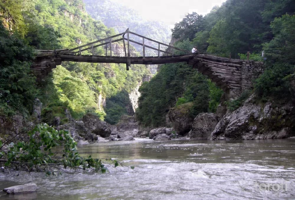
Başkotanı Bridge, located on the border where the Melet River separates the districts of Mesudiye and Kabadüz, provides transportation between the settlements in the two districts. The bridge, estimated to date to the years 1875-80, has survived to the present day and is still used for transportation.
Başkotanı Köprüsü and 6 places around it
Free · no sign-up needed
Highlights
- Local culture
Suggested visit:45 minutes
Last updated: 19 October 2026
Location and surroundings
Başkotanı Köprüsü sits within Mesudiye, Ordu. The toroti catalogue holds 91 described stops across Ordu, 12 of them in Mesudiye.
The nearest stop is Mesudiye Kültür Merkezi, 140 m to the north. Another 6 catalogued points lie within a 30 km radius.
See Başkotanı Köprüsü and its surroundings in one plan
- Order your stops on the map and spread them across days
- See driving and visiting time at a glance
- Get places around it suggested automatically
- Free — no sign-up needed to start
Other places nearby
Frequently asked
- What is Başkotanı Köprüsü?
- Başkotanı Bridge, located on the border where the Melet River separates the districts of Mesudiye and Kabadüz, provides transportation between the settlements in the two districts. The bridge, estimated to date to the years 1875-80, has survived to the present day and is still used for transportation.
- Where is Başkotanı Köprüsü?
- Başkotanı Köprüsü is in Mesudiye, Ordu.
- How long does it take to visit Başkotanı Köprüsü?
- The suggested visit time for Başkotanı Köprüsü is about 45 minutes.
- What else is there to see near Başkotanı Köprüsü?
- toroti’s catalogue holds other destinations within 30 km of Başkotanı Köprüsü; the closest are Mesudiye Kültür Merkezi, Mesudiye Kültür Merkezi / Eski Kilise, Meletios Kalesi / Mesudiye.