
Destination
Pozanti-aşar Yaylası
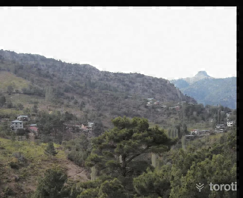
It is reached by turning northwest (left) from the 14th kilometre of the Pozantı- Çamardı highway and continuing for 1,5 kilometres on a stabilized road. The plateau houses, built of wood and stone in accordance with the plateau architecture of the region, are interwoven with pine, fir, cedar trees and orchards.
Pozanti-aşar Yaylası and 6 places around it
Free · no sign-up needed
Highlights
- Nature
Good for
- Nature break
Suggested visit:45 minutes
Last updated: 19 October 2026
Location and surroundings
Pozanti-aşar Yaylası sits within Çamardı, Niğde. The toroti catalogue holds 46 described stops across Niğde, 5 of them in Çamardı.
The nearest stop is Aladağlar Milli Parkı, 12 km to the east. Another 6 catalogued points lie within a 30 km radius.
See Pozanti-aşar Yaylası and its surroundings in one plan
- Order your stops on the map and spread them across days
- See driving and visiting time at a glance
- Get places around it suggested automatically
- Free — no sign-up needed to start
Other places nearby
Frequently asked
- What is Pozanti-aşar Yaylası?
- It is reached by turning northwest (left) from the 14th kilometre of the Pozantı- Çamardı highway and continuing for 1,5 kilometres on a stabilized road. The plateau houses, built of wood and stone in accordance with the plateau architecture of the region, are interwoven with pine, fir, cedar trees and orchards.
- Where is Pozanti-aşar Yaylası?
- Pozanti-aşar Yaylası is in Çamardı, Niğde.
- How long does it take to visit Pozanti-aşar Yaylası?
- The suggested visit time for Pozanti-aşar Yaylası is about 45 minutes.
- What else is there to see near Pozanti-aşar Yaylası?
- toroti’s catalogue holds other destinations within 30 km of Pozanti-aşar Yaylası; the closest are Aladağlar Milli Parkı, Aladağlar'da Gezi Ve Tirmanış, Hacer Vadisi Ve Ormanı.