
Destination
Körteke Kalesi
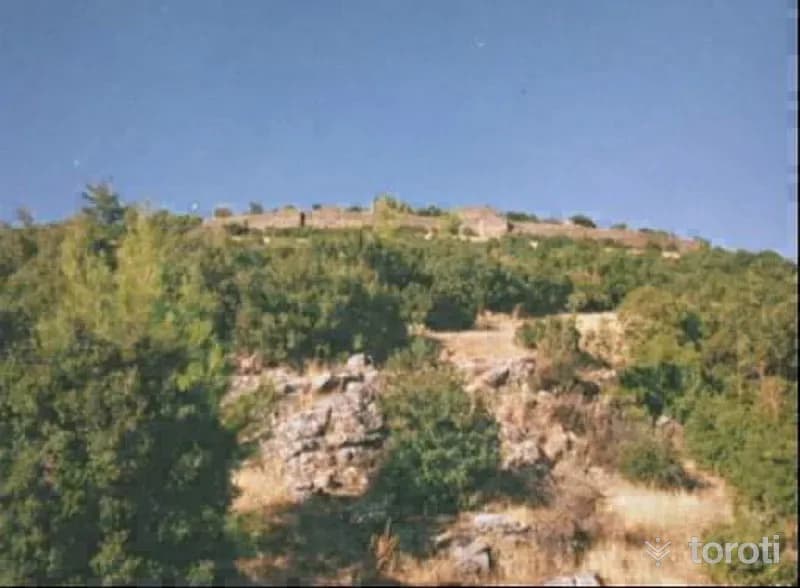
It is one of the Leleg-type hill towns of Inner Caria, built on a high hill (Kale Tepe) located to the northeast of Körteke neighborhood in Bozdoğan District of Aydın Province. This city is probably the city of XYATİS. The acropolis is located on the rocky hill. There is a tower each on the east and west, and a cistern in the middle. The acropolis is enclosed from the south by an inner wall with three towers, which we date to the 5th century BC.
Körteke Kalesi and 6 places around it
Free · no sign-up needed
Highlights
- History
Good for
- Cultural routes
Suggested visit:45 minutes
Last updated: 19 October 2026
Location and surroundings
Körteke Kalesi sits within Menteşe, Muğla. The toroti catalogue holds 120 described stops across Muğla, 12 of them in Menteşe.
The nearest stop is Arapapişti Kanyonu, 6.2 km to the north. Another 6 catalogued points lie within a 30 km radius.
See Körteke Kalesi and its surroundings in one plan
- Order your stops on the map and spread them across days
- See driving and visiting time at a glance
- Get places around it suggested automatically
- Free — no sign-up needed to start
Other places nearby
Frequently asked
- What is Körteke Kalesi?
- It is one of the Leleg-type hill towns of Inner Caria, built on a high hill (Kale Tepe) located to the northeast of Körteke neighborhood in Bozdoğan District of Aydın Province. This city is probably the city of XYATİS. The acropolis is located on the rocky hill. There is a tower each on the east and west, and a cistern in the middle. The acropolis is enclosed from the south by an inner wall with three towers, which we date to the 5th century BC.
- Where is Körteke Kalesi?
- Körteke Kalesi is in Menteşe, Muğla.
- How long does it take to visit Körteke Kalesi?
- The suggested visit time for Körteke Kalesi is about 45 minutes.
- What else is there to see near Körteke Kalesi?
- toroti’s catalogue holds other destinations within 30 km of Körteke Kalesi; the closest are Arapapişti Kanyonu, Yeşilyurt, Sirtlanini Mağarası.