
Places to visit
Things to do in Dereli
8 destinations, each with a description, how long it takes and where it sits on the map.
In short
toroti’s catalogue holds 8 described destinations within Dereli, Giresun. The themes that come up most: Nature, Local culture.
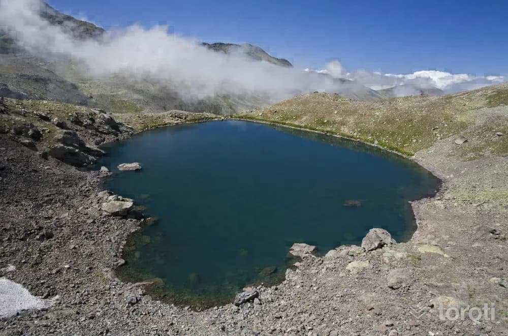
Karagöl Yaylaları
They are highland pastures established around the Karagöl Mountains (3.107 metres), located at the southernmost end of the Dereli and Bulancak districts, at the point where the provincial borders of Ordu, Giresun and Sivas meet, and around the lake named Karagöl here, which has the characteristics of a cirque (glacial) lake. There are many glacial lakes to visit in the vicinity. These are Camlı Göl, Aygır Gölü, Bağırsak Gölü, and Sağrak Gölü.
45 minutes
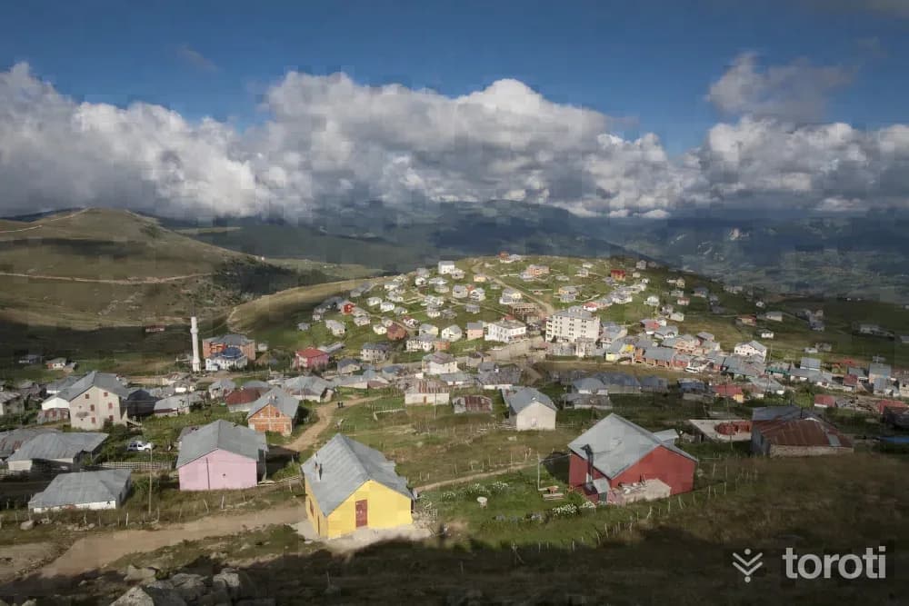
Bektaş Yaylası
Among the plateaus in Giresun, one of the plateaus that stands out with its natural and cultural resources is Bektaş Yaylası. It is located approximately 56 kilometers from Giresun city center, in an area where the borders of Dereli and Bulancak districts intersect. In addition to its striking natural beauties, the plateau, together with its surroundings, was declared a tourism center in 1990 as a plateau area where typical examples of traditional plateau life can be observed.
45 minutes
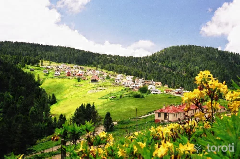
Kulakkaya Yaylası
Located approximately 45 kilometers from Giresun and connected to Yavuzkemal Town of Dereli district, Kulakkaya Yaylası has interesting natural natural beauties and is Giresun’s oldest, best-known and most visited plateau. Kulakkaya Yaylası was declared a tourism center in 1991. Established on one of the routes of the historic Silk Road, the plateau is one of the oldest authentic settlement areas not only in Giresun but also in the Eastern Black Sea.
45 minutes
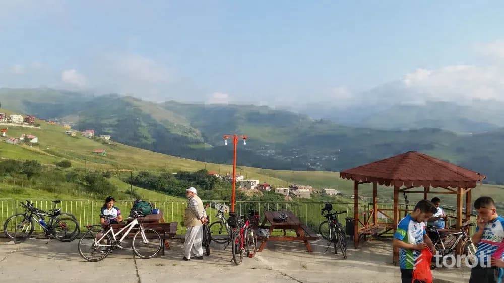
Bisiklet Safari
In Giresun, which includes many routes according to difficulty level, routes for bicycle tourism have been created especially on plateau routes and in the Şebinkarahisar, Alucra and Dereli regions.
45 minutes
Kümbet Yaylası
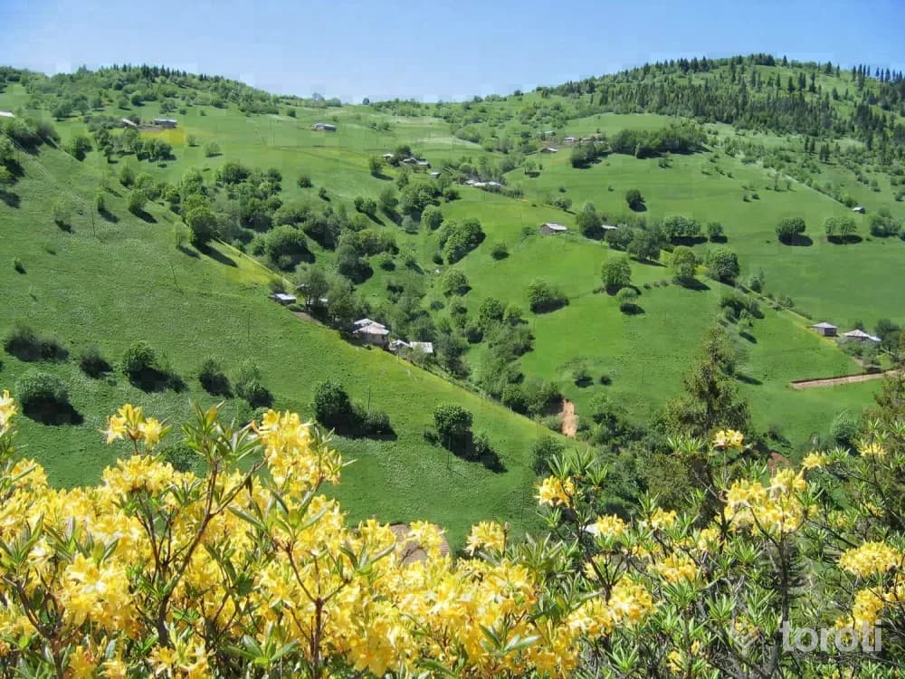
Kümbet Plateau, located approximately 60 km. from Giresun, consists of some surrounding plateaus and Aymaç Mevkii. Kümbet Plateau, which gives its name to the center, is a Tourism Center and is one of Giresun's most popular plateaus. It is possible to reach Kümbet Plateau in two ways via the Giresun - Dereli - Şebinkarahisar road. When going via Güdül - Yüceköy after Dereli, it is reached by a 60 km. asphalt road.
45 minutes
Dereli Kuzalan-göksu Travertenleri
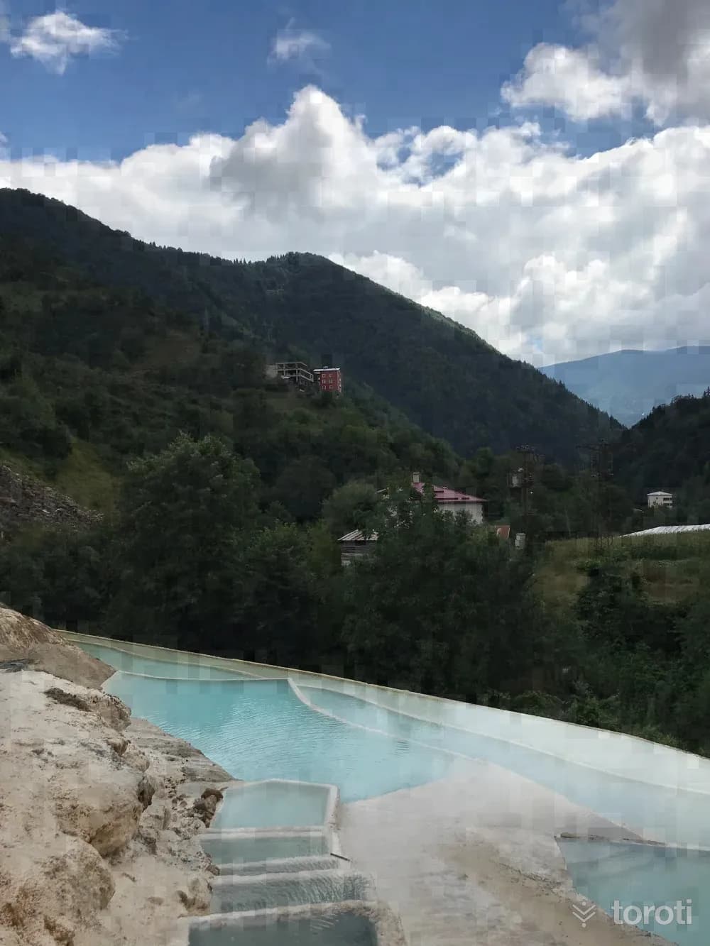
Located in Giresun Dereli District, the Kuzalan travertines and the Göksu travertines, formed by mineral waters and called "white stone" by local people in the region, attract attention. Located within Kuzalan Nature Park, which has an area of approximately 500 hectares, and covering an area of 1800 meters, the Kuzalan travertines are the second largest travertine area formed within a forest in the world after Yellowstone National Park in the USA.
45 minutes
Mavi Göl
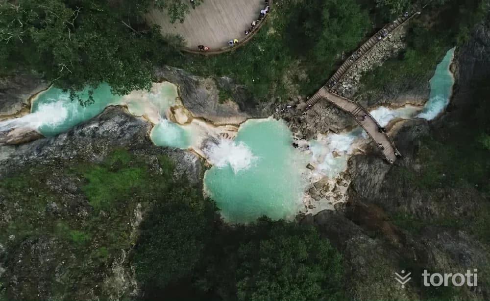
Located within the borders of Giresun’s Dereli district and 20 kilometers from the district center, Mavi Göl, one of the unique treasures of Kuzalan Tabiat Parkı, is formed by the confluence of three lakes and is known by the local people as “Sodalı Göl or Göğ Göl”.
45 minutes
Dereli Kuzalan Şelalesi
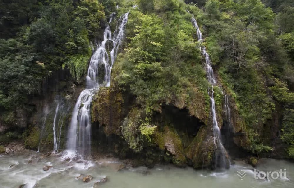
Located 19 kilometers from Giresun’s Dereli District, the waterfall, one of the treasures of Kuzalan Nature Park, is approximately 20 meters high. The waterfall, with a viewing terrace built opposite it, attracts great interest with the marvelous scenery created by its appearance, sound, and surroundings.
45 minutes