
Places to visit
Things to do in Çamlıhemşin
22 destinations, each with a description, how long it takes and where it sits on the map.
In short
toroti’s catalogue holds 22 described destinations within Çamlıhemşin, Rize. The themes that come up most: History, Nature, Local culture.
Kavak Köprüsü
Kavak Bridge is the first bridge of the old transportation system located over Hala Stream in the Çamlıhemşin district. The bridge, 1 kilometer from the district center, was built by the local people in the 19th century. Kavak, one of the most photogenic bridges in Rize, is 36 meters long and 15 meters high. Like its other similar examples in Fırtına valley, it is also registered by the Monuments Board.
20 minutes
Kaleköy Yaylası
The main feature of the plateau at an altitude of 1990 m. is that it is home to Kale-i Bala Castle. The castle on the historic road coming from Fırtına Valley is located in a strategic area at the junction point of the valley.
60 minutes
Kaçkar (Ombole) Yaylası
The plateau, located at an altitude of 2056 m in the district of Çamlıhemşin, is also known as Yukarı Yayla. The plateau, which has a settlement of 350-400 households, is also famous for the Vartavor Festivals held every year in August and lasting for one month. With its nature and local architecture, it continues the plateau culture.
60 minutes
Huser Yaylası
A plateau at an elevation of 2400m connected to the district of Çamlıhemşin. A plateau in Rize.
60 minutes
Haçivanak Yaylası
It is located at an altitude of 2587 m in Çamlıhemşin District. It has a settlement of approximately 100 households. The plateau, which is one of the places worth seeing with its untouched natural beauties, is especially ideal for day trips and nature walks.
60 minutes
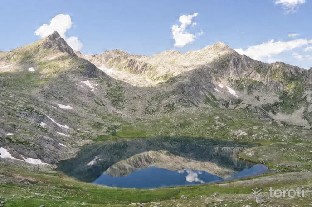
Büyükdeniz Gölü
By following the valley on the left from Yukarı Kavron Yaylası, you can reach the lake in approximately 5-6 hours; it is the largest among this series of lakes. Since the hike takes a long time, it is recommended that you take only enough food for one day. You may also encounter endemic plant species around the lake. In order to take good photographs, you may need to walk a little further toward the ridges around the lake and climb higher.
45 minutes
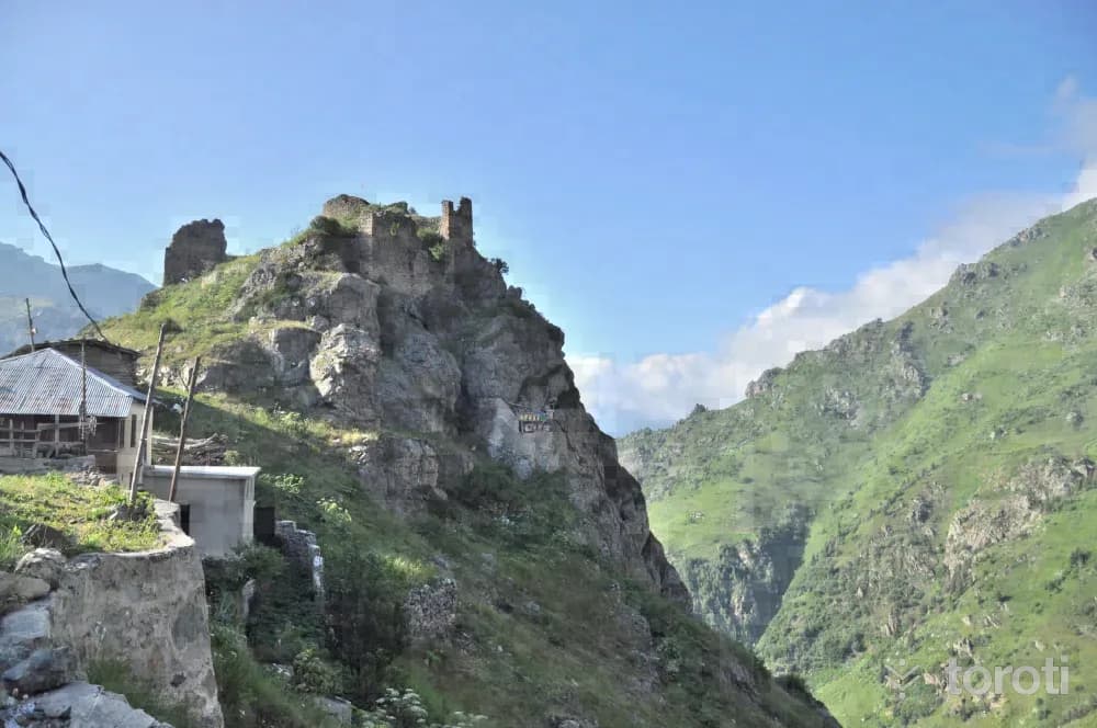
Kale-i Bala
It is located within the borders of Hisarcık Village, 40 kilometers from the Çamlıhemşin district center, at a point overlooking Fırtına Deresi. It shows similarities with Zil kale in terms of topography and wall masonry, therefore it is thought to belong to the same period. (14-15th centuries) It is located close to Başhemşin and Tatos Pass, through which the Kaçkarlar provided passage to Anatolia. The rectangular-planned castle was built on a steep rock.
45 minutes
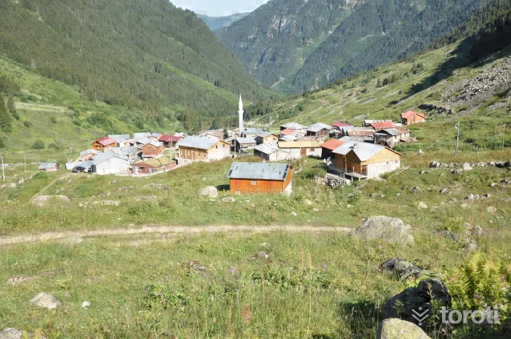
Elevit Yaylası
It is located at an altitude of 1884 meters in Çamlıhemşin District. The plateau is mostly visited by expatriates during the summer months. The traditional plateau houses of the plateau, which has accommodation facilities, are also आकर्षive. Elevit Yaylası also draws attention with the festivals held in August, as it is famous for its horons. Other wild animals unique to the Black Sea, especially the wild goat, are also found.
45 minutes
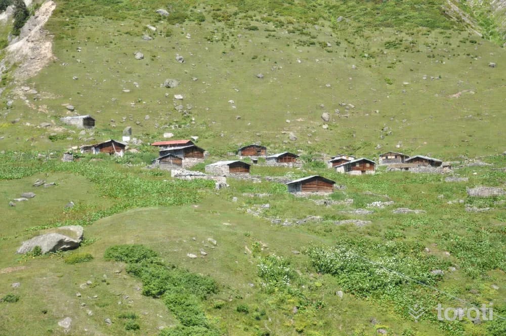
Yukarı Kaçkar Yaylası
The plateau, located at an altitude of 2056 meters in Çamlıhemşin District, is also known as Yukarı Yayla. The plateau, which has a settlement of 350-400 households, is also famous for the Vartavor Festivals held every year in August and lasting for one month. With its nature and local architecture, it continues the plateau culture.
45 minutes
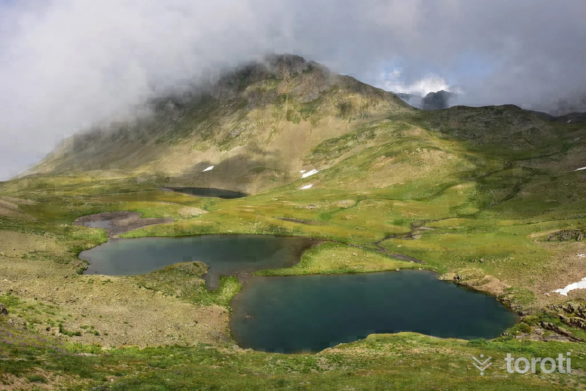
Ambarlı (Balıklı) Gölü
Ambarlı Lake is reached with a walk of approximately 3,5 km from Ambarlı Plateau. From Fırtına Valley to Kito Plateau, Ambarlı Plateau is reached by following a scenic dirt road through the forest and then along the ridge line. Ambarlı Plateau is the last point that can be reached by vehicle.
60 minutes
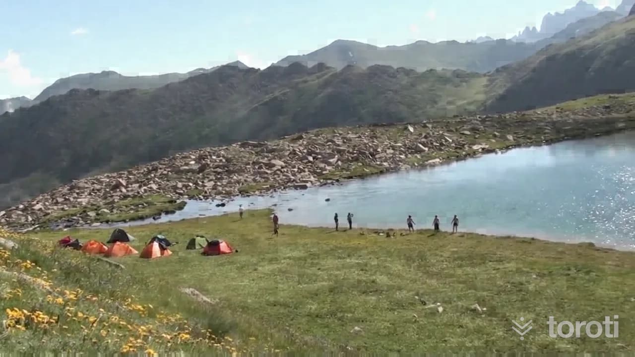
Karmik Gölü
Karmik Lake can be reached with an approximately 2.5-hour walk from Tirovit Plateau. When you head up toward Tirovit Plateau and proceed toward the valley on the right, the lake appears before you. This lake, around which endemic plant species can also be found, will offer you the opportunity to take beautiful photographs.
60 minutes
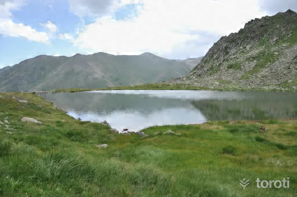
Micovit / Mezovit / Yıldız Gölü
It is reached with a walk of approximately 2,5 kilometers from Haçivanak Yaylası. It can easily be found by following the stream flowing from the slope located to the southeast of the plateau.
45 minutes
Aşağı Kavron Yaylası
Yukarı Kavron Yaylası, one of the plateaus established on the foothills of the Kaçkar Mountains, is located at an altitude of 2267 m, and Aşağı Kavron Yaylası is at an altitude of 1953 m. There is an approximate distance of 1,5 km between the two plateaus. The plateau, which offers eating-drinking and accommodation facilities, has a very high tourism potential in the summer months. It has the characteristic of being the final departure point for walks and climbs to the Kaçkars.
60 minutes
Kaçkar Dağı
While the great ice route on its northern face requires completely technical equipment and knowledge, the route continuing over the eastern ridge, if climbed in summer conditions, is a long summit walk stage with occasional short grade 3 rock passages and requires basic safety equipment. In winter conditions, however, it turns into a difficult and dangerous climb.
60 minutes
Hapivanak Yaylası
In the region, this plateau is also called Hapivanak, Avivonag, and Hapivona. Its distance to Çamlıhemşin is 80 km. It is the last plateau of the Palovit valley on the passage to Erzurum. Its houses are entirely stone and single-storey. Its drinking water is known to be delicious.
60 minutes
Ambarlı Yaylası
It is a plateau located in the mountainous terrain in the district of Çamlıhemşin. It is reached by passing through Karap plateau. Since Kito, Karap, and Ambarlı plateau are close to each other, those who practiced transhumance in Kito plateau used to migrate here for a short time.
60 minutes
Palakçur Yaylası
It was established on a valley slope at an altitude of 2100 m and consists of three neighborhoods. It is used by the villages of Ardeşen-Beyazkaya, Hala and Civik. It is 5.5 km from Ayder and 25.5 km from the district.
60 minutes
Avuser(Dobecelezane) Gölü
When seasonal conditions are suitable, Avuser plateau can be reached by vehicle from the Çamlıhemşin-Ayder direction. The lake is reached with a walk of approximately 2 km from the plateau. It is a suitable route for a hike with mountain views.
60 minutes
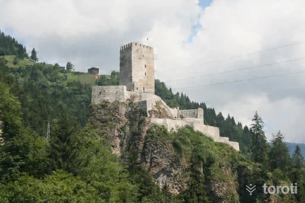
Zilkale
It is one of the most remarkable works of the region. It is situated 15 kilometers south of the district center, on the western slopes of Fırtına Deresi. The steep rock mass on which the castle was built is 750 meters above sea level and approximately 100 meters above the stream bed. The castle consists of outer walls, middle walls, and an inner castle. The gate of the outer castle is reached by a footpath from the northwest. With the help of a terrace, one ascends to the level of the middle walls.
45 minutes
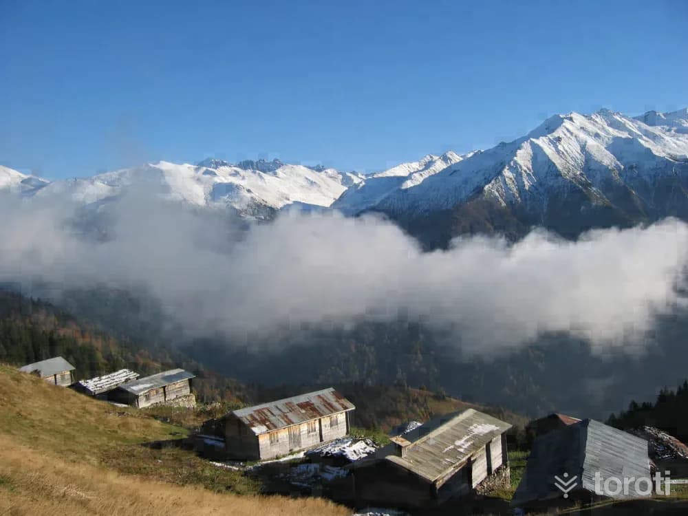
Pokut Yaylası
Located to the south of Çamlıhemşin District, between the valleys formed by the Fırtına and Hala streams, the plateau is situated at an altitude of 2032 meters around the upper forest limit. The plateaus, offering an ideal setting for hiking and relaxation, have a unique civil architectural structure in addition to their rich biodiversity. Located 15 kilometers from Çamlıhemşin District, the plateau is notable for its distinctive architecture.
45 minutes
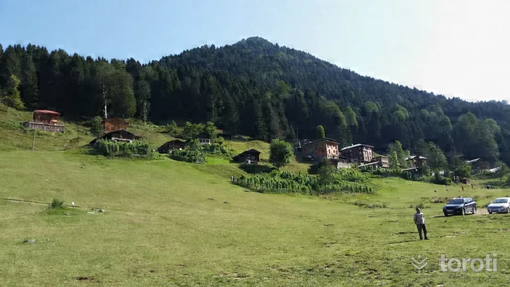
Ayder Yaylası
It has an altitude of 1350 meters. It is the starting point for climbs to the Kaçkar Mountains from the north. On the plateau, there are many accommodation options, from bungalows to the concept of a typical plateau house, from family-run guesthouses to hotels. In addition to being Rize's most popular tourism center and its rich flora and fauna, it is also one of the most preferred holiday destinations in the region with its hot spring.
45 minutes
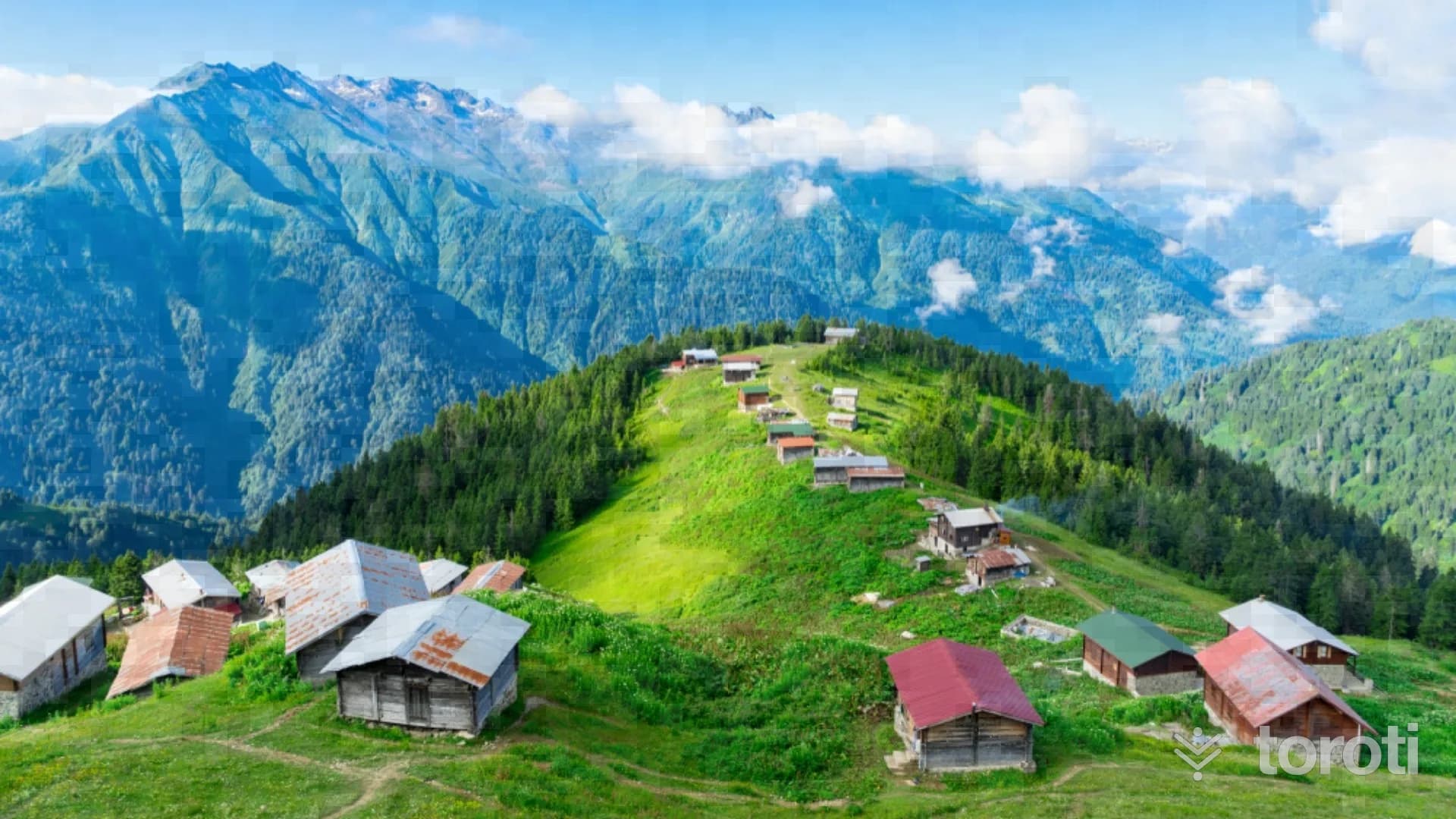
Palovit Yaylası
Palovit Yaylası, located 4 hours by vehicle from the Çamlıhemşin district center, has an altitude of 2338 m. Palovit Yaylası, notable for its traditional stone plateau houses, is one of the most beautiful elevations of the Black Sea, on the northwestern slope of the Kaçkar Mountains, with one side completely covered with forests and the other backed by the mountain slope.
60 minutes