
Places to visit
Things to do in Mihalıççık
8 destinations, each with a description, how long it takes and where it sits on the map.
In short
toroti’s catalogue holds 8 described destinations within Mihalıççık, Eskişehir. The themes that come up most: Nature, Faith heritage.
Kötüfatma Mağarası
It is located 3 km east of Kara Mağara. Between the two caves, Girdap Dere flows within a deep, canyon-shaped valley. The cave, whose entrance faces the Sakarya River, can be reached via the Alpu-Karacaören-Otluk or Alpu-Bozan-Büğdüz-Ağaçhisar -Kandamlamış-Otluk route. The cave is reached on foot with a one-hour walk from Atçım Mahallesi of Otluk village. The cave has three separate entrances. It is a fossil cave that has completed its development. Bibliography: - Eskişehir Valiliği.(2014).
45 minutes
Heybeci Mağarası
It is located above the area where Heybeci (Çat) Stream, which passes through the town of Dinek, 1 km east of Gürleyik Cave, splits into two branches. It is reached from the town of Dinek on the Mihalıççık-Nallıhan highway. The cave is reached from here with a 15-minute walk. It has developed vertically in the form of a shaft. The cave, where wall dripstones have developed in its final section, ends with a small chamber filled with rubble. Source: - Eskişehir Governorship.(2014).
45 minutes
Gürleyik Mağarası
It is located on the right slope of Kayalıboğaz Stream, 2 km south of Mihallıçcık. It is reached via the Mihalıçcık-Nallıhan highway. It can be reached with a 45-minute walk from the town of Dinek on this road. It is a fossil cave that has completed its development and remained suspended. Dense formations (stalactites, stalagmites, columns, wall and curtain dripstones, and macaroni formations) have developed inside. Source: - Eskişehir Governorship.(2014). Eskişehir Guide(5.
45 minutes
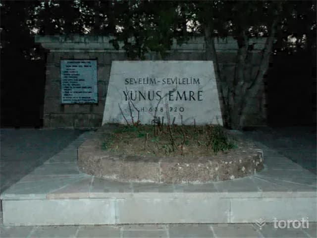
Yunus Emre Külliyesi Ve Türbesi
The Yunus Emre Museum, located in Eskişehir Mihalıçcık District, was opened to visitors in 1974 by the Ministry of Culture and Tourism. The grave of Yunus Emre, located in Eskişehir in the XIII.yüzyıl, was destroyed during the Greek occupation, and in 1949 it was moved behind a fountain built that year and a new grave was made. This grave XIII.
45 minutes
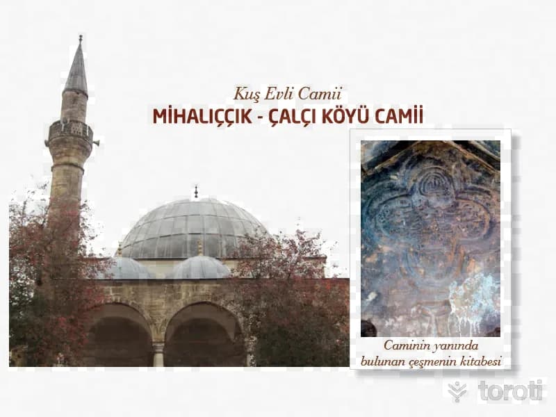
Çalçi Köyü Camii / Mihaliççik Camii / Kuş Evli Camii
It is in Çalçı Village, 13 kilometers north of Mihaliıççık District. It is stated that the mosque belongs to the Ottoman Period and that its name was Babüsaade Ağası “Mehmet Ağa Camii.” The mosque has a square plan, a single-space interior, is domed, and the drum of the dome is polygonal. In front of it there is a last congregation area with three arches and three domes. It has a single minaret and it is polygonal. According to its plan type and other architectural features, the mosque resembles 16-17th century Ottoman mosques.
45 minutes
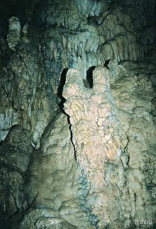
Sarıkaya Mağarası
It is located 1 km east of Yalımkaya (Domya) village, on the left slope of Çatalkaya Stream, a branch of Domya Stream. The cave can be reached via one of the Büydüz-Sasa-Yalımkaya or Mihalıççık-Gürleyik-Yalımkaya roads branching off from the Eskişehir-Mihalıççık road. The cave is reached after a one-hour walk from Yalımkaya village. It consists of three galleries and three levels connected to each other by narrow passages. It has two entrances at different elevations.
45 minutes
Karakaya Mağarası
It is located on the right slope of Domya Stream, a tributary of the Sakarya River, 1 km east of Yalımkaya (Domya) village, northwest of Mihalıççık. Flowing from west to east within a deeply incised valley among high mountains, Domya (Gürleyik) Stream has cut through and fragmented the region. The cave can be reached via one of the Büğdüz-Sasa-Yalımkaya or Mihalıççık-Gürleyik-Yalımkaya roads branching off from the Eskişehir-Mihalıççık road.
45 minutes
Koçakkiran Mağarası
Kötüfatma is located very close to Karamıkini and Kara Mağara. It is situated 1 km north of Koçakkıran Tepe (1358 m), near Açtım Mahallesi of Otluk village. The cave is reached from Açtım Mahallesi with a one-hour walk on a steep slope. The entrance consists of two connected sections facing the Sakarya River, but formed in different periods. The first section is covered with dense dripstones.
45 minutes