
Destination
Ulukaya Şelalesi
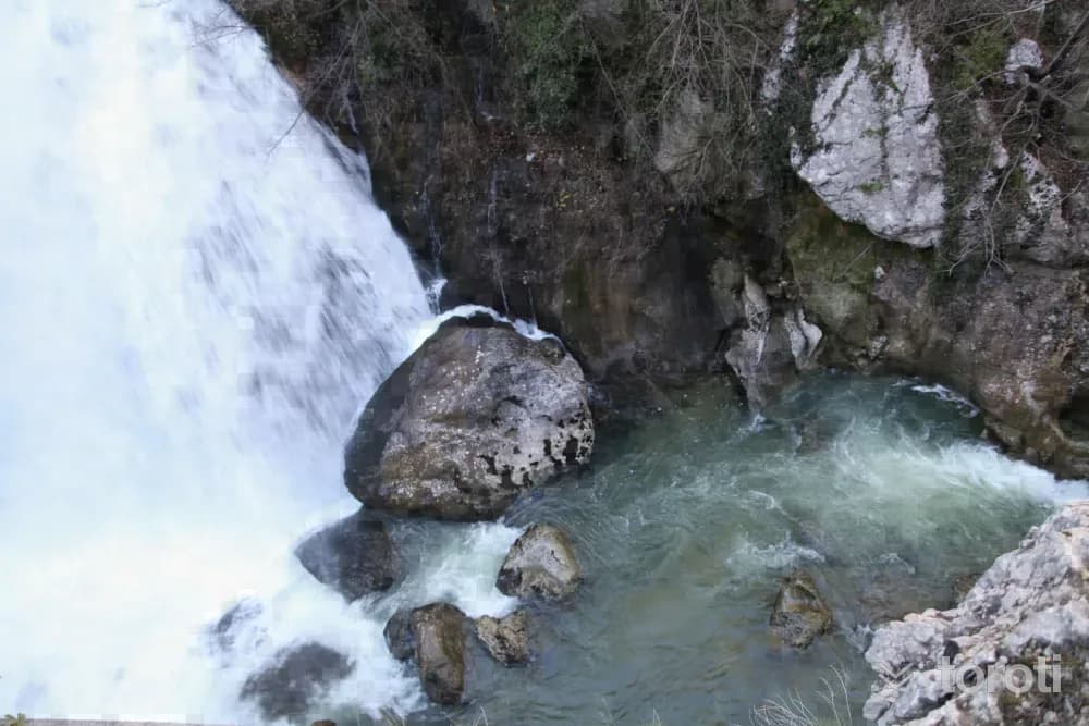
Located at the 17th kilometre of the Bartın Ulus - Pınarbaşı road, Ulukaya Şelalesi is formed by water emerging from a rock cavity in Ulukaya Köyü, near Drahna Kanyonu. Flowing from a height of approximately 15 metres, the waterfall is also the starting point of Küre Dağları Milli Parkı.
Ulukaya Şelalesi and 4 places around it
Free · no sign-up needed
Highlights
- Nature
Good for
- Nature break
Suggested visit:45 minutes
Last updated: 19 October 2026
Location and surroundings
Ulukaya Şelalesi sits within Ulus, Bartın. The toroti catalogue holds 20 described stops across Bartın, 2 of them in Ulus.
The nearest stop is Tekkeönü Kalesi, 19 km to the northwest. Another 4 catalogued points lie within a 30 km radius.
See Ulukaya Şelalesi and its surroundings in one plan
- Order your stops on the map and spread them across days
- See driving and visiting time at a glance
- Get places around it suggested automatically
- Free — no sign-up needed to start
Other places nearby
Frequently asked
- What is Ulukaya Şelalesi?
- Located at the 17th kilometre of the Bartın Ulus - Pınarbaşı road, Ulukaya Şelalesi is formed by water emerging from a rock cavity in Ulukaya Köyü, near Drahna Kanyonu. Flowing from a height of approximately 15 metres, the waterfall is also the starting point of Küre Dağları Milli Parkı.
- Where is Ulukaya Şelalesi?
- Ulukaya Şelalesi is in Ulus, Bartın.
- How long does it take to visit Ulukaya Şelalesi?
- The suggested visit time for Ulukaya Şelalesi is about 45 minutes.
- What else is there to see near Ulukaya Şelalesi?
- toroti’s catalogue holds other destinations within 30 km of Ulukaya Şelalesi; the closest are Tekkeönü Kalesi, Ilgarini Mağarası, Gideros Koyu.